Old Maps of Avon Park, Florida for Metal Detecting
Plan your next treasure hunt with 29 historic maps of Avon Park. Find old homesites, ghost towns, trails, and gathering spots that may be lost to time — perfect for identifying promising metal detecting locations.
- Locate forgotten sites: Uncover places like long-lost settlements, abandoned rail lines, or gathering spots.
- Plan better hunts: Use map overlays combined with LiDAR or satellite views to narrow in on historically rich areas.
- Made for detectorists: Thousands of hobbyists use these maps to discover relics, coins, and hidden history.
Use these historic maps to boost your research and find new opportunities beneath the surface of Avon Park.
Avon Park, FL maps
(29)- 1952 Map of Lake Arbuckle SW, 1953 Print
 1952 Lake Arbuckle SW1953 Print · USGSThe Florida highlands south of Avon Park are captured here in the early fifties, showing a landscape of citrus groves and rail-side towns. Genealogists and historians can locate Lakeside Cem, the Fish Hatchery (Abandoned), and the rail junctions of Lakemont.4 unique versions available
 - 1952 Map of Lake Arbuckle, 1953 Print
 1952 Lake Arbuckle1953 Print · USGSThe Florida interior during the early fifties reveals a landscape shaped by military expansion and natural hydrology. Genealogists and historians can trace the U S Government Railroad and the small settlement of Alpine near Lake Pythias.3 unique versions available
 - 1953 Map of Frostproof, 1954 Print
 1953 Frostproof1954 Print · USGSFrostproof and the surrounding Florida lake country are shown in the early fifties as the region's citrus and rail economy flourished. Researchers can trace the junction of the Seaboard Air Line and find rural landmarks like Maxcy Quarters and Corinth Ch.5 unique versions available
 - 1953 Map of Avon Park, 1954 Print
 1953 Avon Park1954 Print · USGSCovers Avon Park, including Highlands County, Hardee County, and other nearby areas4 unique versions available
 - 1956 Map of Fort Pierce, 1965 Print
 1956 Fort Pierce1965 Print · USGSCentral and coastal Florida appear here during a period of rapid post-war growth and industrial expansion. Researchers can trace the mid-century rail-to-highway transition along the Sunshine State Parkway or locate old settlements like Ankona, Walton, and Indrio.4 unique versions available
 - 1958 Map of Fort Pierce
 1958 Fort Pierce1958 Print · USGSCentral and South Florida are captured here in the late fifties as the citrus and ranching interior met the modern highway era. Researchers can trace the early path of the Sunshine State Parkway and locate established rail depots in Sebring, Okeechobee, and Arcadia.
 - 1959 Map of Fort Pierce
 1959 Fort Pierce1959 Print · USGSCentral Florida and the Treasure Coast are shown here in the late fifties, during a period of steady citrus and coastal growth. Trace the historic routes of the Florida East Coast Ry or locate the boundaries of the Seminole Indian Reservation and Highlands Hammock State Park.3 unique versions available
 - 1978 Map of Bartow, 1980 Print
 1978 Bartow1980 Print · USGSCentral Florida during the late seventies was a landscape of industrial phosphate mines and expansive lake systems. Trace the legacy of the Seaboard Coast Line as it connects Fort Meade, Wauchula, and the massive Avon Park Bombing Range.2 unique versions available
 - 1988 Map of Fort Pierce
 1988 Fort Pierce1988 Print · USGSThe Atlantic coast and Florida’s interior lakelands are captured in the late eighties, just as the Treasure Coast was experiencing rapid development. Genealogists and historians can trace the rail lines of the Florida East Coast and explore the bounds of the Brighton Indian Reservation.
 - 2012 Map of Frostproof, 2012 Print
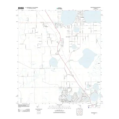 2012 Frostproof2012 Print · USGSFrostproof and the central Florida citrus country are captured here in the early twenty-first century, showing a landscape defined by its many lakes. Genealogists and local historians can trace residential growth from Maxcy Quarters to Avon Park Lakes and find the Silver Lake Cemetery.
 - 2012 Map of Lake Arbuckle, 2012 Print
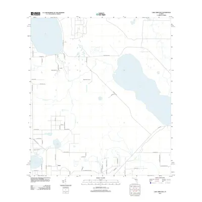 2012 Lake Arbuckle2012 Print · USGSFlorida’s interior lake country is captured here in the early 2010s, showing a landscape defined by citrus groves, dairies, and water. Genealogists and local researchers can trace the area around Alpine, find the Rucks Dairy Airport, or locate lakeside landmarks like Lake Isabell.
 - 2012 Map of Lake Arbuckle SW, 2012 Print
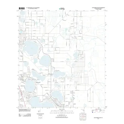 2012 Lake Arbuckle SW2012 Print · USGSThe Highlands County lake district is captured here in the early twenty-first century, showing the established communities of Sebring Shores and Lakemont. Trace local history through landmarks like Pinecrest Cem or the many named waters including Lake Lotela and Dinner Lake.
 - 2012 Map of Avon Park, 2012 Print
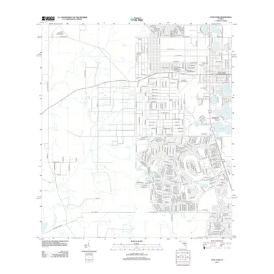 2012 Avon Park2012 Print · USGSAvon Park and the surrounding Highlands County lake country are shown here in the early twenty-first century. Researchers can trace the development of the city near Lake Tulane or locate sites like Bougainvillea Cem and South Florida Community College.
 - 2015 Map of Avon Park, 2015 Print
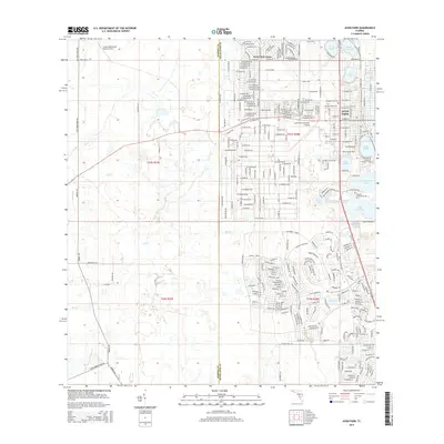 2015 Avon Park2015 Print · USGSAvon Park and the surrounding central Florida lake country are captured here in the mid-2010s, showing the city's growth around its many shorelines. Researchers can trace the layout of Florida Community College and local landmarks like Bougainvillea Cem and Lake Tulane.
 - 2015 Map of Lake Arbuckle, 2015 Print
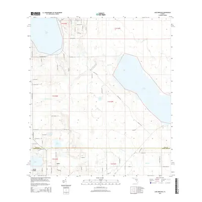 2015 Lake Arbuckle2015 Print · USGSAvon Park and the surrounding lake country of the Florida ridge are shown in detail during the mid-2010s. Researchers can trace local development around Avon Park and Alpine, or locate smaller features like Lake Isabell and Lake Godwin.
 - 2015 Map of Frostproof, 2015 Print
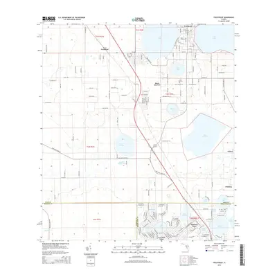 2015 Frostproof2015 Print · USGSThe Florida citrus ridge around Frostproof is showcased here in a modern era of lakefront growth and rural persistence. Genealogists and local historians can trace legacy sites like Maxcy Quarters, the Silver Lake Cem, and the grid of West Frostproof.
 - 2015 Map of Lake Arbuckle SW, 2015 Print
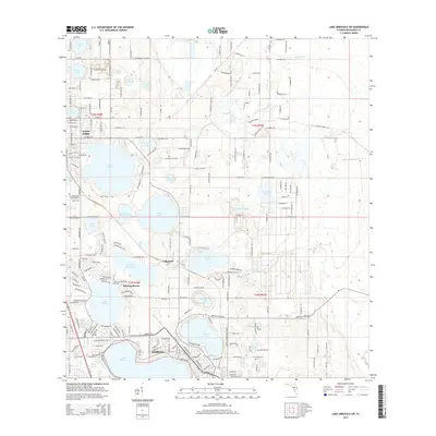 2015 Lake Arbuckle SW2015 Print · USGSAvon Park and northern Sebring are shown during a period of steady expansion among the region's characteristic central Florida lakes. Researchers can trace the boundaries of Sebring Shores, find local burial sites at Lakeside Cem, and explore the drainage patterns of Carter Cr.
 - 2018 Map of Avon Park, 2018 Print
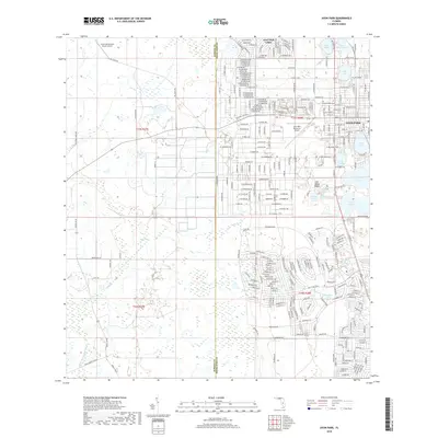 2018 Avon Park2018 Print · USGSAvon Park and the citrus-growing highlands are shown here at a peak of modern development. Genealogists and local historians can trace the street grids of Avon Park, locate Bougainvillea Cems, and study the lakeside clusters of Avon Park Lakes.
 - 2018 Map of Frostproof, 2018 Print
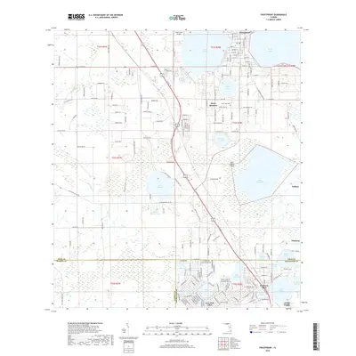 2018 Frostproof2018 Print · USGSCentral Florida’s citrus and lake country is captured here during a period of steady residential growth along the sandy highlands. Genealogists and local historians can trace family sites near Maxcy Quarters, the Silver Lake Cem, or early air travel at Lake Clinch Airpark.
 - 2018 Map of Lake Arbuckle, 2018 Print
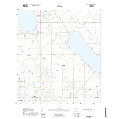 2018 Lake Arbuckle2018 Print · USGSThe Highlands County interior and the Lake Wales Ridge appear here in the late 2010s, showing the intersection of citrus groves and deep-water lakes. Genealogists and local researchers can locate the settlement of Alpine or trace family landmarks near Pioneer Lake and Lake Isabell.
 - 2018 Map of Lake Arbuckle SW, 2018 Print
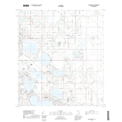 2018 Lake Arbuckle SW2018 Print · USGSHighlands County is shown in this recent survey during a period of continued residential and agricultural development between its two largest cities. Researchers can locate specific family landmarks such as Lakeside Cem and Pinecrest Cem or trace the shoreline of Lake Jackson and Lake Sebring.
 - 2021 Map of Lake Arbuckle SW, 2021 Print
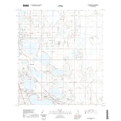 2021 Lake Arbuckle SW2021 Print · USGSHighlands County is defined by its citrus-country lakes and the growing residential corridors of the 2020s. Researchers can trace the development around Avon Park and Sebring, locating landmarks like Pinecrest Cem and Lake Letta.
 - 2021 Map of Lake Arbuckle, 2021 Print
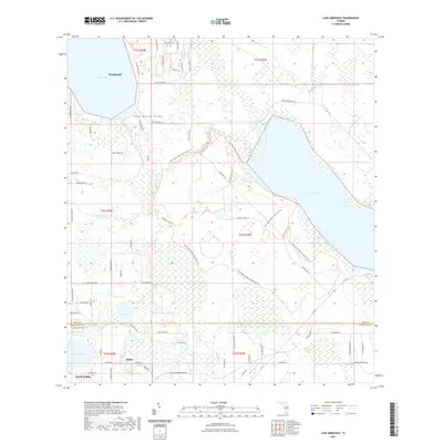 2021 Lake Arbuckle2021 Print · USGSFlorida's central ridge and wetland systems are captured here in the early twenty-first century, showcasing the area between Frostproof and Avon Park. Genealogists and local researchers can trace old routes like Old Avon Park Rd or explore the drainage of Bonnet Cr and Blue Jordan Swamp.
 - 2021 Map of Frostproof, 2021 Print
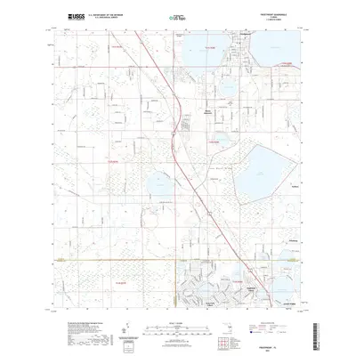 2021 Frostproof2021 Print · USGSFlorida's citrus and lake country comes into focus in this recent survey of the Lake Wales Ridge during the early 2020s. Researchers can trace local development around Frostproof and Maxcy Quarters or locate family sites near the Silver Lake Cem.
 - 2021 Map of Avon Park, 2021 Print
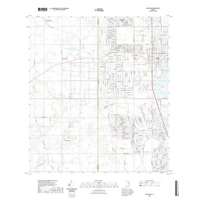 2021 Avon Park2021 Print · USGSAvon Park and the unique Lake Wales Ridge geography are captured in this contemporary survey of central Florida's citrus and lake country. Researchers can trace the development of Avon Park Lakes and locate landmarks like Bougainvillea Cemetery or the Crews Homestead Ranch Airport.
Showing maps 1-25 of 29
Top cities near Avon Park
Top neighborhoods of Avon Park
- Lakeside Villas historical maps
- Lemon Tree historical maps
- Oaks Village historical maps
- Oaks at Avon historical maps
- Avon Park Holiness Camp historical maps
- Breezeway historical maps
See more
Frequently asked questions
- What are the different types of historical maps available for Avon Park?
- What is the oldest map of Avon Park?
- Where can I purchase historical maps of Avon Park for my home or office?
- Where can I download high-res historical maps of Avon Park?
- Are there historical topographic maps available for Avon Park?
- Is there historical aerial imagery available for Avon Park?
- Where are historical maps of Avon Park sourced from?