Old Maps of Sebring, Florida for Genealogy
Trace your family roots with 18 historic maps of Sebring. These high-res maps reveal old neighborhoods, homesites, landmarks, and streets — helping you uncover where your ancestors lived and how the area evolved over time.
- Explore historic neighborhoods: Identify where your relatives may have lived in the 1800s or 1900s.
- Compare maps over time: Trace the changes in streets, buildings, and landmarks for multi-generational research.
- Perfect for genealogy & ancestry research: Used by family historians and researchers to map out lineage and migration.
These maps are an incredible resource for exploring your personal connection to Sebring's past.
Sebring, FL maps
(18)- 1952 Map of Lake Arbuckle SW, 1953 Print
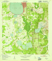
 1952 Lake Arbuckle SW1953 Print · USGSThe Florida highlands south of Avon Park are captured here in the early fifties, showing a landscape of citrus groves and rail-side towns. Genealogists and historians can locate Lakeside Cem, the Fish Hatchery (Abandoned), and the rail junctions of Lakemont.4 unique versions available
 - 1952 Map of Sebring, 1953 Print
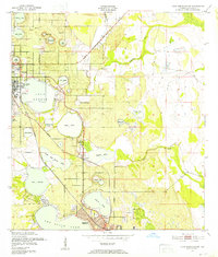
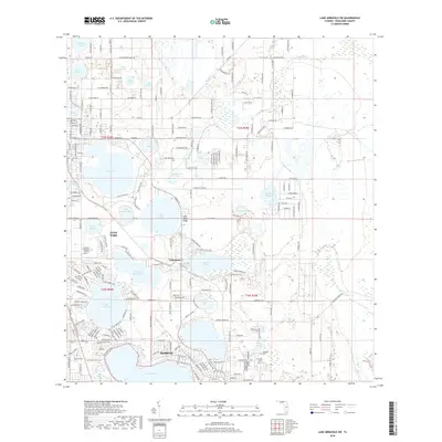
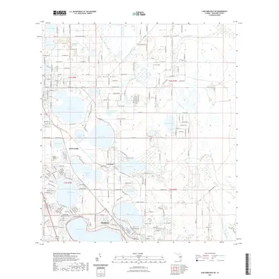
 1952 Sebring1953 Print · USGSFlorida's lake country around the middle of the century shows a landscape defined by citrus groves and rail junctions. Genealogists and historians can trace the early footprints of Sebring and De Soto City, alongside landmarks like the Courthouse and the Atlantic Coast Line.4 unique versions available
 - 1956 Map of Fort Pierce, 1965 Print
 1956 Fort Pierce1965 Print · USGSCentral and coastal Florida appear here during a period of rapid post-war growth and industrial expansion. Researchers can trace the mid-century rail-to-highway transition along the Sunshine State Parkway or locate old settlements like Ankona, Walton, and Indrio.4 unique versions available
 - 1958 Map of Fort Pierce
 1958 Fort Pierce1958 Print · USGSCentral and South Florida are captured here in the late fifties as the citrus and ranching interior met the modern highway era. Researchers can trace the early path of the Sunshine State Parkway and locate established rail depots in Sebring, Okeechobee, and Arcadia.
 - 1959 Map of Fort Pierce
 1959 Fort Pierce1959 Print · USGSCentral Florida and the Treasure Coast are shown here in the late fifties, during a period of steady citrus and coastal growth. Trace the historic routes of the Florida East Coast Ry or locate the boundaries of the Seminole Indian Reservation and Highlands Hammock State Park.3 unique versions available
 - 1978 Map of Arcadia, 1980 Print
 1978 Arcadia1980 Print · USGSDeSoto and Highlands counties are shown here in the late seventies, a landscape defined by the Peace River and extensive citrus groves. Genealogists and researchers can trace the SEABOARD COAST LINE railroad through old settlements like Nocatee, Zolfo Springs, and Fort Ogden.
 - 1978 Map of Bartow, 1980 Print
 1978 Bartow1980 Print · USGSCentral Florida during the late seventies was a landscape of industrial phosphate mines and expansive lake systems. Trace the legacy of the Seaboard Coast Line as it connects Fort Meade, Wauchula, and the massive Avon Park Bombing Range.2 unique versions available
 - 1988 Map of Fort Pierce
 1988 Fort Pierce1988 Print · USGSThe Atlantic coast and Florida’s interior lakelands are captured in the late eighties, just as the Treasure Coast was experiencing rapid development. Genealogists and historians can trace the rail lines of the Florida East Coast and explore the bounds of the Brighton Indian Reservation.
 - 2012 Map of Lake Arbuckle SW, 2012 Print
 2012 Lake Arbuckle SW2012 Print · USGSCovers Sebring, including Avon Park, Maranatha Village, and other nearby areas
 - 2012 Map of Sebring, 2012 Print
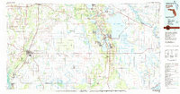
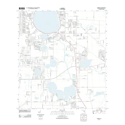 2012 Sebring2012 Print · USGSCovers Sebring, including Kuhlman, De Soto City, and other nearby areas
 - 2015 Map of Sebring, 2015 Print
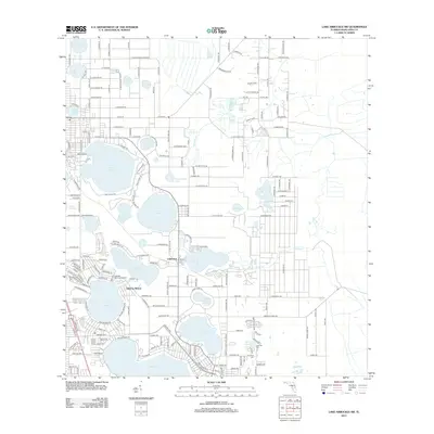
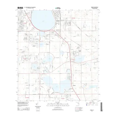 2015 Sebring2015 Print · USGSCovers Sebring, including Kuhlman, De Soto City, and other nearby areas
 - 2015 Map of Lake Arbuckle SW, 2015 Print
 2015 Lake Arbuckle SW2015 Print · USGSCovers Sebring, including Avon Park, Maranatha Village, and other nearby areas
 - 2018 Map of Sebring, 2018 Print
 2018 Sebring2018 Print · USGSCovers Sebring, including Kuhlman, De Soto City, and other nearby areas
 - 2018 Map of Lake Arbuckle SW, 2018 Print
 2018 Lake Arbuckle SW2018 Print · USGSCovers Sebring, including Avon Park, Maranatha Village, and other nearby areas
 - 2021 Map of Lake Arbuckle SW, 2021 Print
 2021 Lake Arbuckle SW2021 Print · USGSCovers Sebring, including Avon Park, Maranatha Village, and other nearby areas
 - 2021 Map of Sebring, 2021 Print
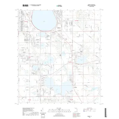
 2021 Sebring2021 Print · USGSCovers Sebring, including Kuhlman, De Soto City, and other nearby areas
 - 2024 Map of Lake Arbuckle SW, 2024 Print
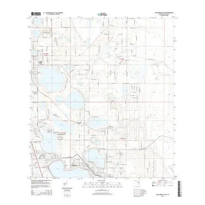
 2024 Lake Arbuckle SW2024 Print · USGSCentral Florida's lake country is mapped here in the contemporary era, centered on the growing hubs of Sebring and Avon Park. Trace family roots at Lakeside Cem or explore the wilder margins of the Lake Wales Ridge National Wildlife Refuge.
 - 2024 Map of Sebring, 2024 Print
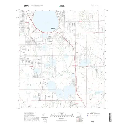
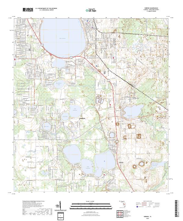 2024 Sebring2024 Print · USGSSebring and the surrounding citrus and lake country are detailed in this contemporary survey of Florida's central ridge. Researchers can trace local development near the Highlands County Courthouse or explore the protected lands of the Lake Wales Ridge National Wildlife Refuge and De Soto City.
End of results
Showing maps 1-18 of 18
Top cities near Sebring
Top neighborhoods of Sebring
- Kenilworth historical maps
- Las Villas historical maps
- Lemon historical maps
- South Sebring historical maps
- Highland Lankes Reserve historical maps
Frequently asked questions
- What are the different types of historical maps available for Sebring?
- What is the oldest map of Sebring?
- Where can I purchase historical maps of Sebring for my home or office?
- Where can I download high-res historical maps of Sebring?
- Are there historical topographic maps available for Sebring?
- Is there historical aerial imagery available for Sebring?
- Where are historical maps of Sebring sourced from?