2000s (21st Century) Maps of Marianna, Florida
Explore 15 historic maps of Marianna from the 2000s (21st Century). These maps offer a rare glimpse into what life looked like during the 2000s — showing old roads, neighborhoods, homes, and landmarks that have changed or disappeared over time.
Whether you're researching your family's past, planning a metal detecting trip, or studying how Marianna's landscape evolved across the 2000s, these high-resolution maps are a powerful tool for exploring the history of this region.
- Focus on a specific era: All maps on this page are from the 2000s, giving you a focused view of this time period.
- See what’s changed: Compare century-old streets, trails, and buildings to today's modern landscape using overlays and satellite layers.
- Research with precision: Use these maps for genealogy, historical research, land use analysis, or educational projects.
- View, download, or print: Maps are fully viewable online in high resolution, and can be downloaded or printed for your own records.
Start exploring Marianna's history through authentic maps from the 2000s. This is your window into the past.
Marianna, FL maps
(15)- 2012 Map of Marianna, 2012 Print
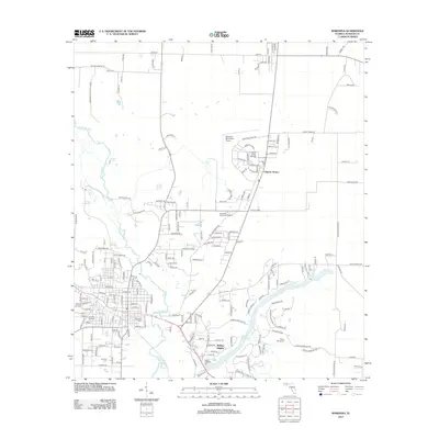 2012 Marianna2012 Print · USGSJackson County's karst landscape and educational centers take center stage in this early twenty-first-century survey of the Florida Panhandle. Researchers can trace family sites at Riverside Cem and Roulhac Cem or explore the hydrogeology of Blue Hole Spring and Merritts Mill Pond.
 - 2012 Map of Cottondale East, 2012 Print
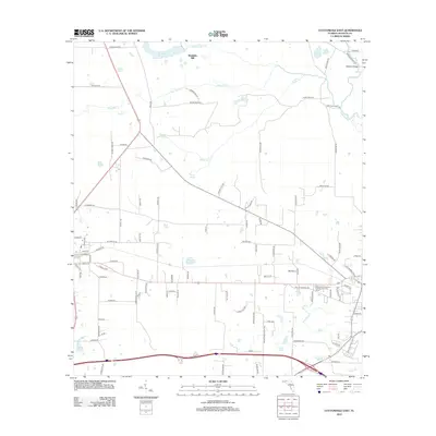 2012 Cottondale East2012 Print · USGSFlorida's Panhandle reveals a landscape of river crossings and mill ponds in the early twenty-first century. Genealogists and local historians can trace family-named landmarks and old routes such as Waddells Mill, Bellamy Bridge, and Webbville Spring.
 - 2012 Map of Kynesville, 2012 Print
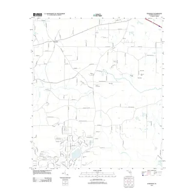 2012 Kynesville2012 Print · USGSJackson County settlement in the early twenty-first century is defined by its rural intersections and unique karst landscape. Genealogists and historians can trace local family lineages through McCormick Cemetery and Lipford Cemetery or locate natural landmarks like Blue Sink and Land's Field Airport.
 - 2015 Map of Cottondale East, 2015 Print
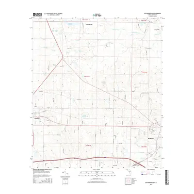 2015 Cottondale East2015 Print · USGSNorth of Marianna in the mid-2010s, this area of Jackson County showcases a landscape shaped by the Chipola River and historic milling operations. Researchers can trace local landmarks like Bellamy Bridge, the waters of Williams Mill Pond, and the settlement at Waddells Mill.
 - 2015 Map of Marianna, 2015 Print
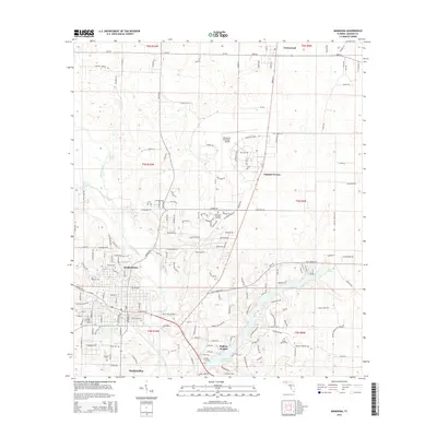 2015 Marianna2015 Print · USGSMarianna and the central Panhandle are captured here in the mid-2010s, showcasing a landscape shaped by the Chipola River. Genealogists and local historians can locate many historic burial sites, including Riverside Cem, Dykė Cem, and Orange Hill Cem.
 - 2015 Map of Kynesville, 2015 Print
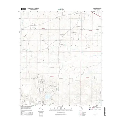 2015 Kynesville2015 Print · USGSKynesville and the surrounding Jackson County countryside are shown here in the mid-2010s, highlighting a landscape rich in karst springs and rural history. Researchers can locate family sites near Victory Cem or trace the drainage of Foxworth Mill Cr past landmarks like Schoolhouse Pond.
 - 2018 Map of Cottondale East, 2018 Print
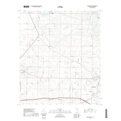 2018 Cottondale East2018 Print · USGSJackson County in the late twenty-teens retains its deep agricultural and industrial roots centered on historic water power. Genealogists and historians can trace local family landmarks from Cottondale to Bellamy Bridge, including Waddells Mill and Tanner Springs.
 - 2018 Map of Marianna, 2018 Print
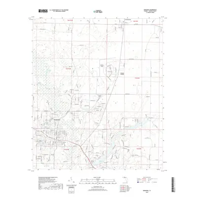 2018 Marianna2018 Print · USGSJackson County's spring-fed landscapes and the city of Marianna are meticulously documented in this contemporary survey. Genealogists and local historians can trace burial sites at Riverside Cem and Orange Cem or locate the campus of Chipola College.
 - 2018 Map of Kynesville, 2018 Print
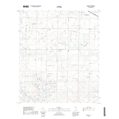 2018 Kynesville2018 Print · USGSJackson County settlement and the intricate karst hydrology of the Florida Panhandle are captured here in the late 2010s. Researchers can locate family landmarks like McCormick Cem, the old mills of Tharp Mill Pond, and unique natural features such as Cave Spring and Woman Sink.
 - 2021 Map of Cottondale East, 2021 Print
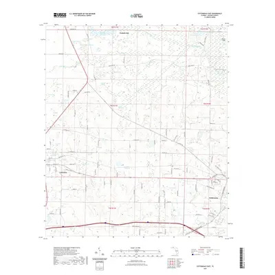 2021 Cottondale East2021 Print · USGSJackson County settlement and water-driven industry are showcased in this recent survey of the corridor between Cottondale and Marianna. Researchers can trace the legacy of local milling and hydrologic landmarks at Waddells Mill, Webbville Spring, and Caraway Mill Pond.
 - 2021 Map of Kynesville, 2021 Print
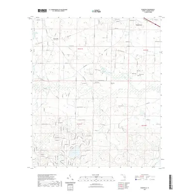 2021 Kynesville2021 Print · USGSJackson County's rural interior comes into focus during the early twenty-first century, showcasing the unique karst topography near Kynesville. Genealogists and researchers can trace family landmarks at Vickery Cem or locate historical water features like Tharp Mill Pond and Blue Sink.
 - 2021 Map of Marianna, 2021 Print
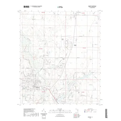 2021 Marianna2021 Print · USGSJackson County and its seat at Marianna are captured here in the early twenty-first century as the region’s river-bound landscape remains a focal point. Genealogists and local historians can trace family locations through numerous sites like Roulhac Cem and Poplar Spring Cem or the grounds of Chipola College.
 - 2024 Map of Kynesville, 2024 Print
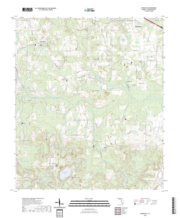 2024 Kynesville2024 Print · USGSJackson County settlement and its unique karst geology are at the forefront of this contemporary survey. Genealogists and local historians can locate numerous family and community sites, including the Sebastian Family Cem, Shores Mill Cem, and Ebenezer Baptist Church Cem.
 - 2024 Map of Marianna, 2024 Print
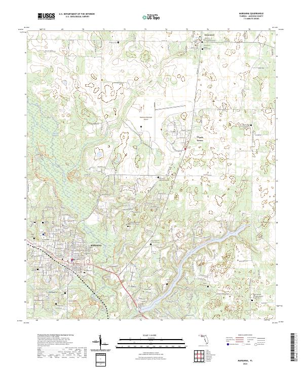 2024 Marianna2024 Print · USGSMarianna and the village of Greenwood are captured here during their modern development in the Florida Panhandle. Researchers can trace historic family burial sites and rural congregations at John Syfrett Burial Site, Buckhorn Cem, and Saint Lukes Episcopal Church.
 - 2024 Map of Cottondale East, 2024 Print
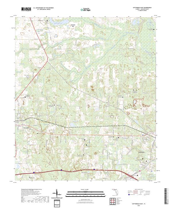 2024 Cottondale East2024 Print · USGSJackson County’s agricultural and community roots are well-preserved in this study of the area between Cottondale and Marianna. Researchers can locate numerous family and church burial sites, from the Spears Plantation Cem to the Mount Ararat A M E Cem.
End of results
Showing maps 1-15 of 15
Top cities near Marianna
- Malone historical maps
- Cottondale historical maps
- Grand Ridge historical maps
- Greenwood historical maps
- Altha historical maps
- Alford historical maps
See more
Frequently asked questions
- What are the different types of historical maps available for Marianna?
- What is the oldest map of Marianna?
- Where can I purchase historical maps of Marianna for my home or office?
- Where can I download high-res historical maps of Marianna?
- Are there historical topographic maps available for Marianna?
- Is there historical aerial imagery available for Marianna?
- Where are historical maps of Marianna sourced from?