2000s (21st Century) Maps of Jensen Beach, Florida
Explore 20 historic maps of Jensen Beach from the 2000s (21st Century). These maps offer a rare glimpse into what life looked like during the 2000s — showing old roads, neighborhoods, homes, and landmarks that have changed or disappeared over time.
Whether you're researching your family's past, planning a metal detecting trip, or studying how Jensen Beach's landscape evolved across the 2000s, these high-resolution maps are a powerful tool for exploring the history of this region.
- Focus on a specific era: All maps on this page are from the 2000s, giving you a focused view of this time period.
- See what’s changed: Compare century-old streets, trails, and buildings to today's modern landscape using overlays and satellite layers.
- Research with precision: Use these maps for genealogy, historical research, land use analysis, or educational projects.
- View, download, or print: Maps are fully viewable online in high resolution, and can be downloaded or printed for your own records.
Start exploring Jensen Beach's history through authentic maps from the 2000s. This is your window into the past.
Jensen Beach, FL maps
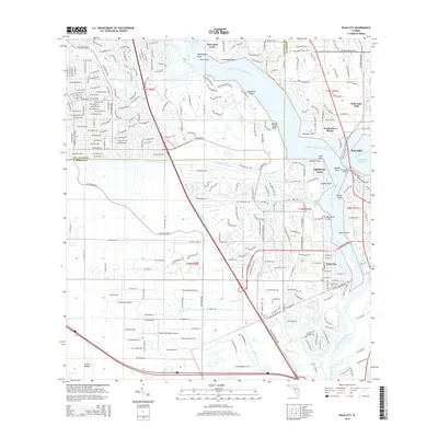
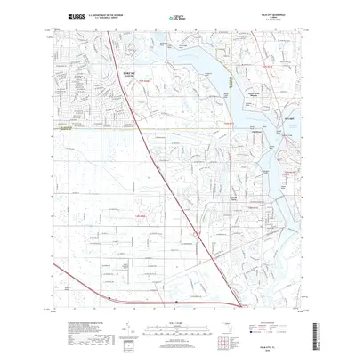
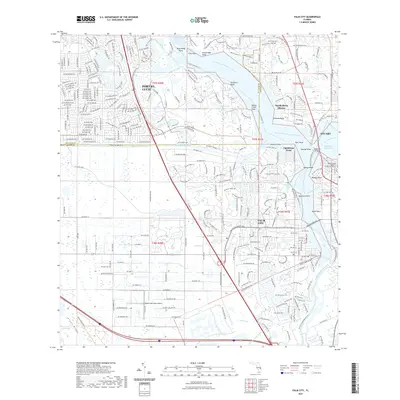
(20)- 2012 Map of Palm City, 2012 Print
 2012 Palm City2012 Print · USGSCovers Jensen Beach, including Port Saint Lucie, Stuart, and other nearby areas
 - 2012 Map of Eden, 2012 Print
 2012 Eden2012 Print · USGSCovers Jensen Beach, including Port Saint Lucie, Eden, and other nearby areas
 - 2012 Map of Saint Lucie Inlet, 2012 Print
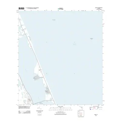
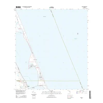
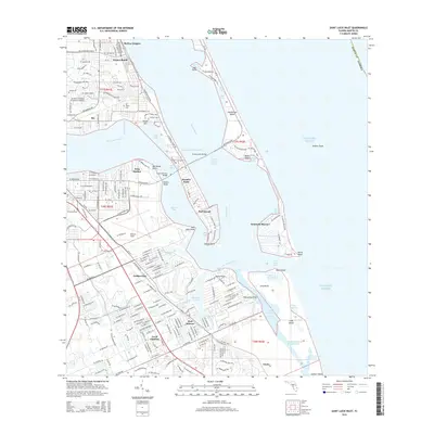
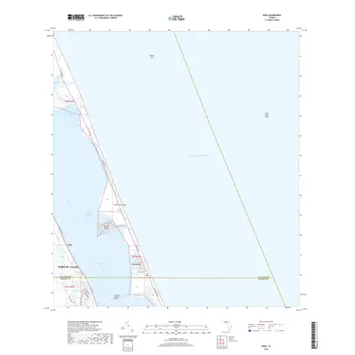
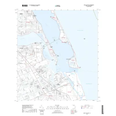
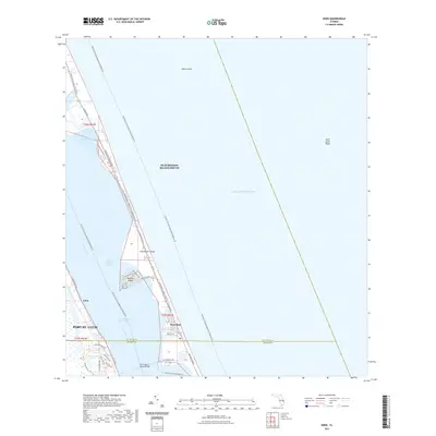
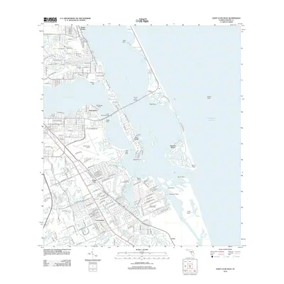 2012 Saint Lucie Inlet2012 Print · USGSCovers Jensen Beach, including Port Salerno, Sewall's Point, and other nearby areas
 - 2012 Map of Ankona, 2012 Print
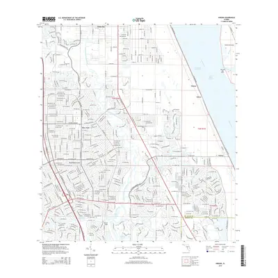
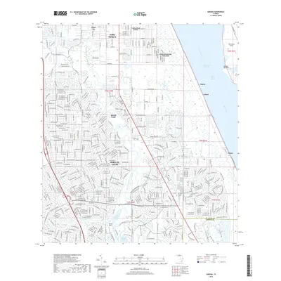
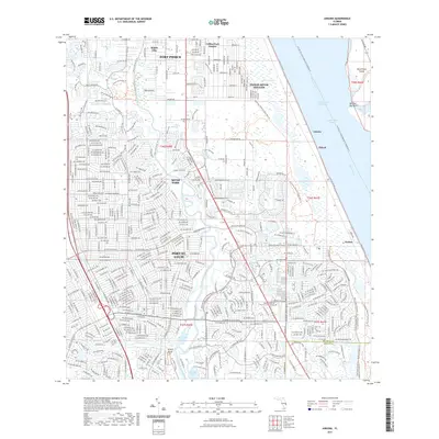
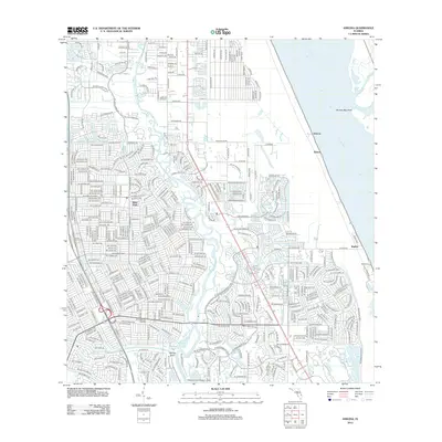 2012 Ankona2012 Print · USGSCovers Jensen Beach, including Port Saint Lucie, River Park, and other nearby areas
 - 2015 Map of Eden, 2015 Print
 2015 Eden2015 Print · USGSCovers Jensen Beach, including Port Saint Lucie, Eden, and other nearby areas
 - 2015 Map of Palm City, 2015 Print
 2015 Palm City2015 Print · USGSCovers Jensen Beach, including Port Saint Lucie, Stuart, and other nearby areas
 - 2015 Map of Saint Lucie Inlet, 2015 Print
 2015 Saint Lucie Inlet2015 Print · USGSCovers Jensen Beach, including Port Salerno, Sewall's Point, and other nearby areas
 - 2015 Map of Ankona, 2015 Print
 2015 Ankona2015 Print · USGSCovers Jensen Beach, including Port Saint Lucie, River Park, and other nearby areas
 - 2018 Map of Ankona, 2018 Print
 2018 Ankona2018 Print · USGSCovers Jensen Beach, including Port Saint Lucie, River Park, and other nearby areas
 - 2018 Map of Eden, 2018 Print
 2018 Eden2018 Print · USGSCovers Jensen Beach, including Port Saint Lucie, Eden, and other nearby areas
 - 2018 Map of Palm City, 2018 Print
 2018 Palm City2018 Print · USGSCovers Jensen Beach, including Port Saint Lucie, Stuart, and other nearby areas
 - 2018 Map of Saint Lucie Inlet, 2018 Print
 2018 Saint Lucie Inlet2018 Print · USGSCovers Jensen Beach, including Port Salerno, Sewall's Point, and other nearby areas
 - 2021 Map of Saint Lucie Inlet, 2021 Print
 2021 Saint Lucie Inlet2021 Print · USGSCovers Jensen Beach, including Port Salerno, Sewall's Point, and other nearby areas
 - 2021 Map of Palm City, 2021 Print
 2021 Palm City2021 Print · USGSCovers Jensen Beach, including Port Saint Lucie, Stuart, and other nearby areas
 - 2021 Map of Eden, 2021 Print
 2021 Eden2021 Print · USGSCovers Jensen Beach, including Port Saint Lucie, Eden, and other nearby areas
 - 2021 Map of Ankona, 2021 Print
 2021 Ankona2021 Print · USGSCovers Jensen Beach, including Port Saint Lucie, River Park, and other nearby areas
 - 2024 Map of Ankona, 2024 Print
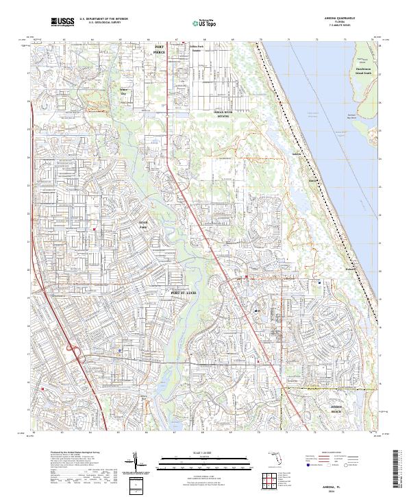 2024 Ankona2024 Print · USGSThe Florida Treasure Coast comes alive in the modern era as suburban growth meets coastal heritage along the Indian River Lagoon. Researchers can trace the layout of waterfront communities like Ankona and Eldred or explore the preserved wetlands of The Savannas.
 - 2024 Map of Eden, 2024 Print
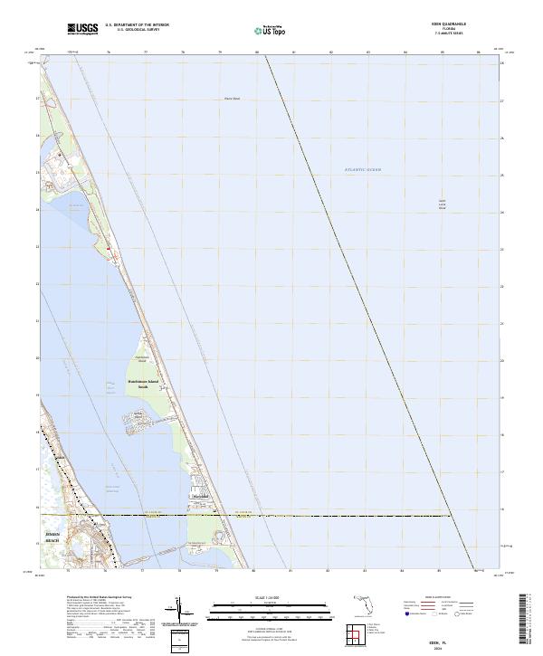 2024 Eden2024 Print · USGSThe Florida coast along the St. Lucie and Martin County line is captured here in its contemporary state of development. Researchers can trace the layout of waterfront communities like Eden and Waveland or explore the geography of Nettles Island and the Indian River Lagoon.
 - 2024 Map of Palm City, 2024 Print
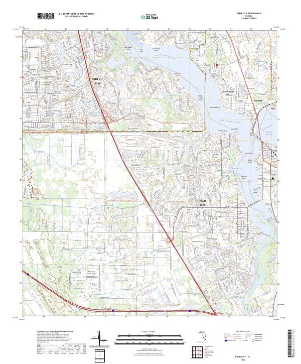 2024 Palm City2024 Print · USGSPalm City and the Saint Lucie River waterfront are documented here in the contemporary era of coastal development. Researchers can trace the path of the Florida East Coast Railway and locate local landmarks such as Fernhill Cem and the Naked Lady Ranch Airport.
 - 2024 Map of Saint Lucie Inlet, 2024 Print
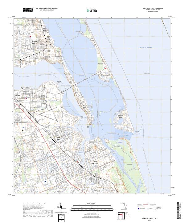 2024 Saint Lucie Inlet2024 Print · USGSCoastal Martin County comes alive in this contemporary survey of the river inlets and barrier islands during a period of sustained seaside growth. Researchers can trace local landmarks like All Saints Cem, Witham Field, and the historic waterfronts of Stuart and Port Salerno.
End of results
Showing maps 1-20 of 20
Top cities near Jensen Beach
- Port Saint Lucie historical maps
- Fort Pierce historical maps
- Stuart historical maps
- Port Salerno historical maps
- River Park historical maps
- White City historical maps
See more
Top neighborhoods of Jensen Beach
Frequently asked questions
- What are the different types of historical maps available for Jensen Beach?
- What is the oldest map of Jensen Beach?
- Where can I purchase historical maps of Jensen Beach for my home or office?
- Where can I download high-res historical maps of Jensen Beach?
- Are there historical topographic maps available for Jensen Beach?
- Is there historical aerial imagery available for Jensen Beach?
- Where are historical maps of Jensen Beach sourced from?