Old Maps of Jensen Beach, Florida for Metal Detecting
Plan your next treasure hunt with 34 historic maps of Jensen Beach. Find old homesites, ghost towns, trails, and gathering spots that may be lost to time — perfect for identifying promising metal detecting locations.
- Locate forgotten sites: Uncover places like long-lost settlements, abandoned rail lines, or gathering spots.
- Plan better hunts: Use map overlays combined with LiDAR or satellite views to narrow in on historically rich areas.
- Made for detectorists: Thousands of hobbyists use these maps to discover relics, coins, and hidden history.
Use these historic maps to boost your research and find new opportunities beneath the surface of Jensen Beach.
Jensen Beach, FL maps
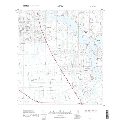
(34)- 1948 Map of Palm City, 1956 Print
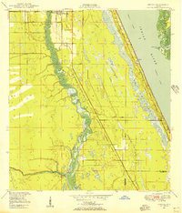
 1948 Palm City1956 Print · USGSThe St. Lucie River waterfront comes alive in this post-war survey, showing the rail and river networks of the Florida coast. Researchers can trace the development of Stuart and Palm City alongside landmarks like the Roosevelt Bridge and Union Ch.5 unique versions available
 - 1948 Map of Ankona, 1956 Print
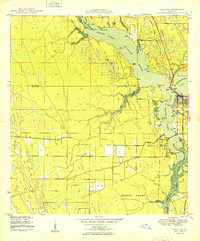
 1948 Ankona1956 Print · USGSThe St. Lucie riverfront and coastal lagoons appear here in the late 1940s, just as the regional drainage and transport networks were maturing. Researchers can trace early infrastructure through the Florida East Coast rail line and communities like White City and Ankona.4 unique versions available
 - 1948 Map of St. Lucie Inlet, 1958 Print
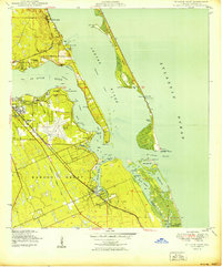
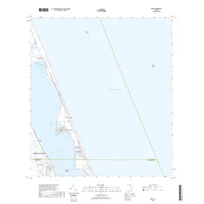
 1948 St. Lucie Inlet1958 Print · USGSCoastal Martin County comes alive in this post-war survey of the riverfronts and barrier islands near the St Lucie Inlet. Researchers can trace the rail corridor of the Florida East Coast, early neighborhoods like Rio and Salerno, and the sprawling grounds of Witham Field.4 unique versions available
 - 1948 Map of Eden, 1965 Print
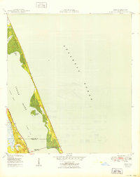
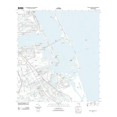
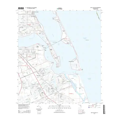
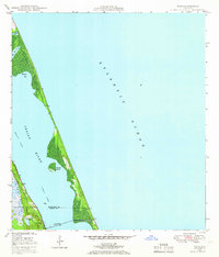 1948 Eden1965 Print · USGSThe Florida coast near the St. Lucie and Martin County line appears here just after the war, defined by the narrow barrier of Hutchinson Island. You can trace the path of the Florida East Coast railway through Eden and find the early footprint of Jensen Beach.3 unique versions available
 - 1950 Map of St. Lucie Inlet
 1950 St. Lucie Inlet1950 Print · USGSMid-century coastal Florida comes alive in this survey of the St. Lucie area as it appeared just after the war. Local historians can trace the foundations of Stuart and Port Sewall, the grounds of Witham Field, and the expanse of the Hanson Grant.
 - 1950 Map of Ankona
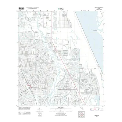
 1950 Ankona1950 Print · USGSThe Florida coast near White City is shown here just after the war, when rail and river dominated the landscape. Genealogists and historians can trace the early layout of Ankona and Walton along the Indian River and the Florida East Coast railway.
 - 1950 Map of Palm City
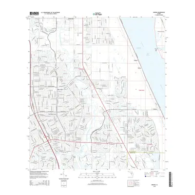
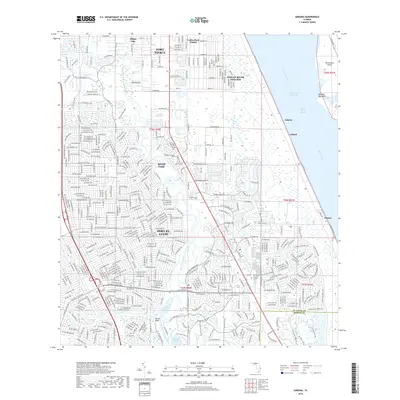
 1950 Palm City1950 Print · USGSMid-century coastal Florida comes alive in this survey of the river forks and early development near the Atlantic coast. Genealogists and local historians can trace the foundations of Stuart and Palm City, locating landmarks like Union Ch and the Fern Hill Cem.
 - 1950 Map of Eden
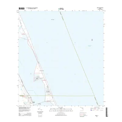
 1950 Eden1950 Print · USGSThe Florida coast near the Saint Lucie and Martin County line is captured here just after the war, showing the narrow reach of Hutchinson Island. You can trace the Florida East Coast rail line as it passes through Eden and across the Jensen Beach Bridge.
 - 1956 Map of Fort Pierce, 1965 Print
 1956 Fort Pierce1965 Print · USGSCentral and coastal Florida appear here during a period of rapid post-war growth and industrial expansion. Researchers can trace the mid-century rail-to-highway transition along the Sunshine State Parkway or locate old settlements like Ankona, Walton, and Indrio.4 unique versions available
 - 1958 Map of Fort Pierce
 1958 Fort Pierce1958 Print · USGSCentral and South Florida are captured here in the late fifties as the citrus and ranching interior met the modern highway era. Researchers can trace the early path of the Sunshine State Parkway and locate established rail depots in Sebring, Okeechobee, and Arcadia.
 - 1959 Map of Fort Pierce
 1959 Fort Pierce1959 Print · USGSCentral Florida and the Treasure Coast are shown here in the late fifties, during a period of steady citrus and coastal growth. Trace the historic routes of the Florida East Coast Ry or locate the boundaries of the Seminole Indian Reservation and Highlands Hammock State Park.3 unique versions available
 - 1981 Map of Fort Pierce, 1982 Print
 1981 Fort Pierce1982 Print · USGSFlorida's Treasure Coast and the northern rim of the Everglades are caught in a period of significant growth during the early eighties. Genealogists and historians can trace the rail-side development of White City and Eden or the water-management history of the St Lucie Canal.
 - 1986 Map of Fort Pierce
 1986 Fort Pierce1986 Print · USGSSoutheast Florida’s Atlantic coast and inland waterways are captured in the mid-1980s as suburban development began to press against the agricultural interior. Trace the path of the Florida East Coast Railway through Fort Pierce or locate family sites near Evergreen Cem and White City.
 - 1988 Map of Fort Pierce
 1988 Fort Pierce1988 Print · USGSThe Atlantic coast and Florida’s interior lakelands are captured in the late eighties, just as the Treasure Coast was experiencing rapid development. Genealogists and historians can trace the rail lines of the Florida East Coast and explore the bounds of the Brighton Indian Reservation.
 - 2012 Map of Palm City, 2012 Print
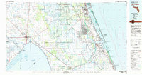
 2012 Palm City2012 Print · USGSCovers Jensen Beach, including Port Saint Lucie, Stuart, and other nearby areas
 - 2012 Map of Eden, 2012 Print
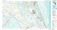
 2012 Eden2012 Print · USGSCovers Jensen Beach, including Port Saint Lucie, Eden, and other nearby areas
 - 2012 Map of Saint Lucie Inlet, 2012 Print
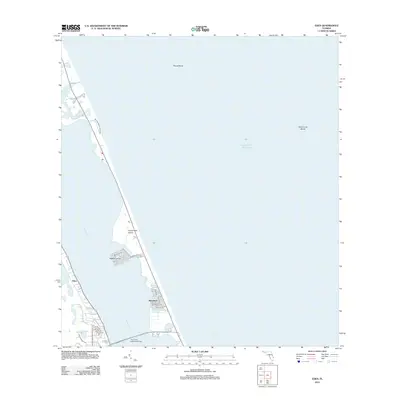
 2012 Saint Lucie Inlet2012 Print · USGSCovers Jensen Beach, including Port Salerno, Sewall's Point, and other nearby areas
 - 2012 Map of Ankona, 2012 Print
 2012 Ankona2012 Print · USGSCovers Jensen Beach, including Port Saint Lucie, River Park, and other nearby areas
 - 2015 Map of Eden, 2015 Print
 2015 Eden2015 Print · USGSCovers Jensen Beach, including Port Saint Lucie, Eden, and other nearby areas
 - 2015 Map of Palm City, 2015 Print
 2015 Palm City2015 Print · USGSCovers Jensen Beach, including Port Saint Lucie, Stuart, and other nearby areas
 - 2015 Map of Saint Lucie Inlet, 2015 Print
 2015 Saint Lucie Inlet2015 Print · USGSCovers Jensen Beach, including Port Salerno, Sewall's Point, and other nearby areas
 - 2015 Map of Ankona, 2015 Print
 2015 Ankona2015 Print · USGSCovers Jensen Beach, including Port Saint Lucie, River Park, and other nearby areas
 - 2018 Map of Ankona, 2018 Print
 2018 Ankona2018 Print · USGSCovers Jensen Beach, including Port Saint Lucie, River Park, and other nearby areas
 - 2018 Map of Eden, 2018 Print
 2018 Eden2018 Print · USGSCovers Jensen Beach, including Port Saint Lucie, Eden, and other nearby areas
 - 2018 Map of Palm City, 2018 Print
 2018 Palm City2018 Print · USGSCovers Jensen Beach, including Port Saint Lucie, Stuart, and other nearby areas
Showing maps 1-25 of 34
Top cities near Jensen Beach
- Port Saint Lucie historical maps
- Fort Pierce historical maps
- Stuart historical maps
- Port Salerno historical maps
- River Park historical maps
- White City historical maps
See more
Top neighborhoods of Jensen Beach
Frequently asked questions
- What are the different types of historical maps available for Jensen Beach?
- What is the oldest map of Jensen Beach?
- Where can I purchase historical maps of Jensen Beach for my home or office?
- Where can I download high-res historical maps of Jensen Beach?
- Are there historical topographic maps available for Jensen Beach?
- Is there historical aerial imagery available for Jensen Beach?
- Where are historical maps of Jensen Beach sourced from?