Old Maps of Orange County, Florida
Explore 43 old maps of Orange County, spanning from 1949 to today. These high-resolution historic maps reveal how streets, neighborhoods, landmarks, and natural features evolved over time — perfect for genealogy, metal detecting, research, and local history exploration.
What you can do with these maps:
- See how Orange County changed over time: Compare historical maps to modern-day views to trace roads, homesites, rail lines & more.
- View detailed metadata: Each map includes creators, publishers, year, scale, and archive source.
- Overlay maps with satellite & LiDAR: Visualize the past alongside modern tools to explore terrain & human change.
- Trusted historical sources: Maps sourced from the USGS, Library of Congress, and other archives.
- Access maps your way: View online, download high-res files, or order prints for personal or research use.
Start exploring old maps of Orange County to uncover forgotten places, hidden landmarks, and the deep history beneath your feet.
Orange County, FL maps
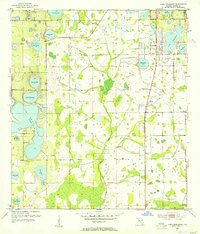
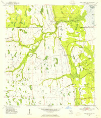
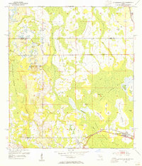
(43)- 1949 Map of Sharpes, 1962 Print
 1949 Sharpes1962 Print · USGSCovers Orange County, including Titusville, Port Saint John, and other nearby areas6 unique versions available
 - 1951 Map of Sharpes
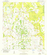
 1951 Sharpes1951 Print · USGSCovers Orange County, including Titusville, Port Saint John, and other nearby areas
 - 1953 Map of Lake Poinsett
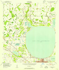
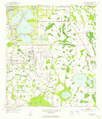
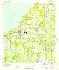
 1953 Lake Poinsett1953 Print · USGSCovers Orange County, including Cocoa West, Brevard County, and other nearby areas4 unique versions available
 - 1953 Map of Narcoossee NE, 1954 Print
 1953 Narcoossee NE1954 Print · USGSCovers Orange County, including Wedgefield, Wewahotee, and other nearby areas6 unique versions available
 - 1953 Map of Lake Jessamine, 1954 Print
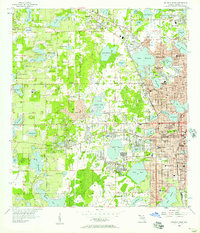
 1953 Lake Jessamine1954 Print · USGSCovers Orange County, including Orlando, Oak Ridge, and other nearby areas5 unique versions available
 - 1953 Map of Narcoossee SE, 1954 Print
 1953 Narcoossee SE1954 Print · USGSCovers Orange County, including Osceola County, United States, and other nearby areas5 unique versions available
 - 1953 Map of St Cloud North, 1954 Print
 1953 St Cloud North1954 Print · USGSCovers Orange County, including Orlando, Kissimmee, and other nearby areas7 unique versions available
 - 1953 Map of Narcoossee, 1954 Print
 1953 Narcoossee1954 Print · USGSCovers Orange County, including Orlando, Narcoossee, and other nearby areas6 unique versions available
 - 1953 Map of Lake Poinsett SW, 1954 Print
 1953 Lake Poinsett SW1954 Print · USGSCovers Orange County, including Brevard County, Osceola County, and other nearby areas5 unique versions available
 - 1953 Map of Pine Castle, 1955 Print
 1953 Pine Castle1955 Print · USGSCovers Orange County, including Orlando, Meadow Woods, and other nearby areas6 unique versions available
 - 1953 Map of Kissimmee, 1955 Print
 1953 Kissimmee1955 Print · USGSCovers Orange County, including Kissimmee, Kissimmee, and other nearby areas6 unique versions available
 - 1953 Map of Titusville SW, 1955 Print
 1953 Titusville SW1955 Print · USGSCovers Orange County, including Brevard County, Volusia County, and other nearby areas5 unique versions available
 - 1953 Map of Oviedo SW, 1955 Print
 1953 Oviedo SW1955 Print · USGSCovers Orange County, including Alafaya, Bithlo, and other nearby areas4 unique versions available
 - 1953 Map of Lake Poinsett NW, 1955 Print
 1953 Lake Poinsett NW1955 Print · USGSCovers Orange County, including Brevard County, United States, and other nearby areas6 unique versions available
 - 1953 Map of Windermere, 1955 Print
 1953 Windermere1955 Print · USGSCovers Orange County, including Bay Hill, Windermere, and other nearby areas4 unique versions available
 - 1953 Map of Narcoossee NW, 1955 Print
 1953 Narcoossee NW1955 Print · USGSCovers Orange County, including Orlando, United States, and other nearby areas4 unique versions available
 - 1953 Map of Intercession City, 1955 Print
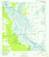
 1953 Intercession City1955 Print · USGSCovers Orange County, including Celebration, Intercession City, and other nearby areas6 unique versions available
 - 1953 Map of Bithlo, 1955 Print
 1953 Bithlo1955 Print · USGSCovers Orange County, including Bithlo, Christmas, and other nearby areas5 unique versions available
 - 1955 Map of Orlando, 1969 Print
 1955 Orlando1969 Print · USGSCovers Orange County, including Orlando, Palm Bay, and other nearby areas3 unique versions available
 - 1956 Map of Winter Garden, 1957 Print
 1956 Winter Garden1957 Print · USGSCovers Orange County, including Orlando, Ocoee, and other nearby areas5 unique versions available
 - 1956 Map of Orlando West, 1957 Print
 1956 Orlando West1957 Print · USGSCovers Orange County, including Orlando, Orlo Vista, and other nearby areas5 unique versions available
 - 1956 Map of Orlando East, 1957 Print
 1956 Orlando East1957 Print · USGSCovers Orange County, including Orlando, Winter Park, and other nearby areas4 unique versions available
 - 1957 Map of Orlando
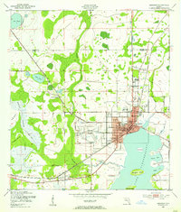
 1957 Orlando1957 Print · USGSCovers Orange County, including Orlando, Palm Bay, and other nearby areas
 - 1958 Map of Orlando
 1958 Orlando1958 Print · USGSCovers Orange County, including Orlando, Palm Bay, and other nearby areas
 - 1959 Map of Lake Louisa, 1960 Print
 1959 Lake Louisa1960 Print · USGSCovers Orange County, including Horizon West, Bay Lake, and other nearby areas3 unique versions available
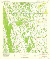
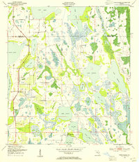
Showing maps 1-25 of 43
Top cities of Orange County
- Orlando historical maps
- Alafaya historical maps
- Horizon West historical maps
- Ocoee historical maps
- Winter Garden historical maps
- Meadow Woods historical maps
See more
Frequently asked questions
- What are the different types of historical maps available for Orange County?
- What is the oldest map of Orange County?
- Where can I purchase historical maps of Orange County for my home or office?
- Where can I download high-res historical maps of Orange County?
- Are there historical topographic maps available for Orange County?
- Is there historical aerial imagery available for Orange County?
- Where are historical maps of Orange County sourced from?