
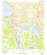
1959 Map of Lake Louisa
USGS Topo · Published 1960About this map
Lake Louisa dominates the northwest corner of this central Florida landscape, sitting at the edge of a complex network of wetlands and citrus-era rural roads. The map illustrates the transition from the open waters of lakes like Lake Ingram and Hickorynut Lake into the dense, saturated environments of the Green Swamp and Boggy Marsh. Human activity is marked by specialized infrastructure, including the Avalon Lookout Tower and a Claypit near the Lake County and Orange County line.
Find a feature on this map
39 named features on this map. Tap any name to fly to it.
Don’t see what you’re looking for? This feature index may not catch every label — zoom into the map to look around manually.
Map Details
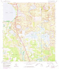
Editions of this 1959 Lake Louisa Map
3 editions found
Other maps of this area

1953 · Windermere
USGS Topo · 1:24,000

1953 · Intercession City
USGS Topo · 1:24,000

1955 · Orlando
USGS Topo · 1:250,000

1956 · Winter Garden
USGS Topo · 1:24,000

1957 · Orlando
USGS Topo · 1:250,000

1958 · Orlando
USGS Topo · 1:250,000

1959 · Lake Nellie
USGS Topo · 1:24,000

1959 · Lake Louisa SW
USGS Topo · 1:24,000

1959 · Poyner
USGS Topo · 1:24,000

1962 · Orlando
USGS Topo · 1:250,000