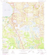
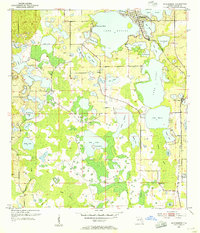
1959 Map of Lake Louisa
USGS Topo · Published 1981About this map
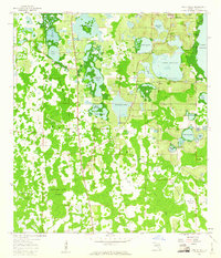
Lake Louisa and the surrounding central Florida wetlands define this landscape during a period of transition in the late 1950s. The map illustrates a complex network of freshwater bodies, from the prominent Hickorynut Lake and Lake Ingram to the sprawling Sawgrass Bays and Hancock Bays within the southern Green Swamp. Human presence is marked by rural infrastructure such as the Avalon Lookout Tower and industrial sites like the Avalon Claypit in the northeast. Small-scale development appears in the form of a Campground and the Ymca facility, while the numerous named lakes like Lake Star, Lake Sentinel, and Lake Mac suggest an area valued for both its resources and recreation. The varied terrain includes elevations like Tiger Island rising from the Boggy Marsh, providing a detailed look at the drainage patterns and land use before later twentieth-century development transformed the Lake and Orange County border.
Find a feature on this map
41 named features on this map. Tap any name to fly to it.
Don’t see what you’re looking for? This feature index may not catch every label — zoom into the map to look around manually.
Map Details
Editions of this 1959 Lake Louisa Map
3 editions found

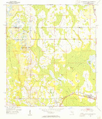
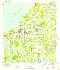
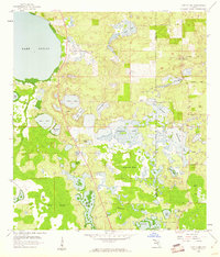
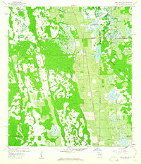
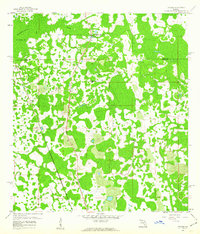
Other maps of this area
1953 · Windermere
USGS Topo · 1:24,000
1953 · Intercession City
USGS Topo · 1:24,000

1955 · Orlando
USGS Topo · 1:250,000
1956 · Winter Garden
USGS Topo · 1:24,000

1957 · Orlando
USGS Topo · 1:250,000

1958 · Orlando
USGS Topo · 1:250,000
1959 · Lake Nellie
USGS Topo · 1:24,000
1959 · Lake Louisa
USGS Topo · 1:24,000
1959 · Lake Louisa SW
USGS Topo · 1:24,000
1959 · Poyner
USGS Topo · 1:24,000