
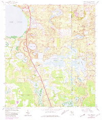
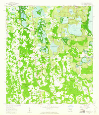
1959 Map of Lake Louisa
USGS Topo · Published 1973About this map
Lake Louisa and the northern edge of the Green Swamp define this Central Florida landscape during a period of light development and heavy agricultural land use. The map reveals a dense network of water bodies, including Sawgrass Lake, Hickorynut Lake, and Hancock Lake, interconnected by low-lying marshlands like Boggy Marsh. The interior is crisscrossed by sandy routes such as Old YMCA Road and Scott Road, reflecting the rural character of the region before significant urban expansion.
Find a feature on this map
40 named features on this map. Tap any name to fly to it.
Don’t see what you’re looking for? This feature index may not catch every label — zoom into the map to look around manually.
Map Details
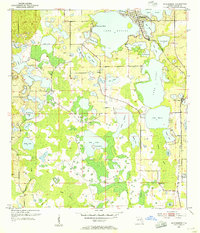
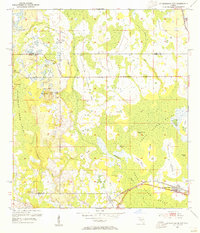
Editions of this 1959 Lake Louisa Map
3 editions found
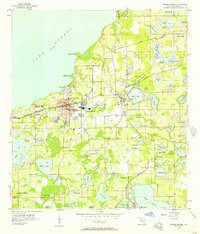
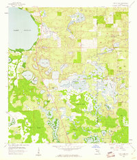
Other maps of this area
1953 · Windermere
USGS Topo · 1:24,000
1953 · Intercession City
USGS Topo · 1:24,000

1955 · Orlando
USGS Topo · 1:250,000
1956 · Winter Garden
USGS Topo · 1:24,000

1957 · Orlando
USGS Topo · 1:250,000

1958 · Orlando
USGS Topo · 1:250,000
1959 · Lake Nellie
USGS Topo · 1:24,000
1959 · Lake Louisa
USGS Topo · 1:24,000
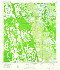
1959 · Lake Louisa SW
USGS Topo · 1:24,000
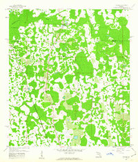
1959 · Poyner
USGS Topo · 1:24,000