
1953 Map of Lake Poinsett SW
USGS Topo · Published 1954About this map
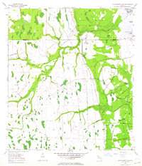
K6 Ranch anchors this portion of the Florida wetlands at the border of Orange and Osceola counties during the early 1950s. The landscape is dominated by complex water systems, where Taylor Creek and the North Fork of the St. Johns River watershed intersect. Traces of human industry and infrastructure are evident in the Old Railroad Grade and numerous Spoil Banks, reflecting the drainage and land-management efforts of the era.
Find a feature on this map
20 named features on this map. Tap any name to fly to it.
Don’t see what you’re looking for? This feature index may not catch every label — zoom into the map to look around manually.
Map Details
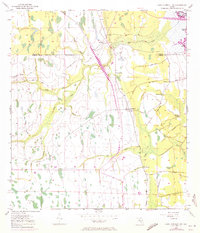
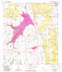
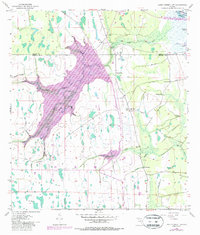
Editions of this 1953 Lake Poinsett SW Map
5 editions found
Other maps of this area

1949 · Sharpes
USGS Topo · 1:24,000

1951 · Sharpes
USGS Topo · 1:24,000

1953 · Lake Poinsett
USGS Topo · 1:24,000

1953 · Deer Park NE
USGS Topo · 1:24,000

1953 · Narcoossee NE
USGS Topo · 1:24,000

1953 · Narcoossee SE
USGS Topo · 1:24,000

1953 · Deer Park NW
USGS Topo · 1:24,000

1953 · Holopaw
USGS Topo · 1:24,000

1953 · Lake Poinsett NW
USGS Topo · 1:24,000

1955 · Orlando
USGS Topo · 1:250,000