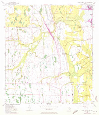
1953 Map of Lake Poinsett SW
USGS Topo · Published 1972About this map
The marshy lowlands at the intersection of Osceola, Orange, and Brevard counties are captured here just before significant 1970s revisions. This landscape is defined by its complex hydrology, where Taylor Creek and Orange Branch feed toward the St. Johns River system. Human intervention in the wetlands is evident through an extensive network of Spoil Bank and Levee structures, as well as an Old Railroad Grade that cuts across the northern reaches. The K6 Ranch serves as a primary marker of rural activity in an area otherwise dominated by named watercourses like Beef Camp Branch and North Fork Bull Branch. At the eastern edge, Mulberry Mound stands as a distinct topographical feature near the shores of Lake Poinsett, while a Gaging Sta and several Flowing Wells indicate the ongoing management of the region's water resources.
Find a feature on this map
20 named features on this map. Tap any name to fly to it.
Don’t see what you’re looking for? This feature index may not catch every label — zoom into the map to look around manually.
Map Details
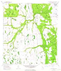
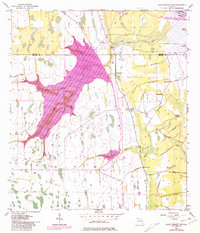
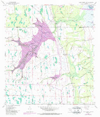
Editions of this 1953 Lake Poinsett SW Map
5 editions found
Other maps of this area

1949 · Sharpes
USGS Topo · 1:24,000

1951 · Sharpes
USGS Topo · 1:24,000

1953 · Lake Poinsett
USGS Topo · 1:24,000

1953 · Deer Park NE
USGS Topo · 1:24,000

1953 · Narcoossee NE
USGS Topo · 1:24,000

1953 · Narcoossee SE
USGS Topo · 1:24,000

1953 · Deer Park NW
USGS Topo · 1:24,000

1953 · Lake Poinsett SW
USGS Topo · 1:24,000

1953 · Holopaw
USGS Topo · 1:24,000

1953 · Lake Poinsett NW
USGS Topo · 1:24,000