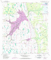
1953 Map of Lake Poinsett SW
USGS Topo · Published 1987About this map
St Johns River headwaters define this central Florida landscape, where the convergence of Brevard, Orange, and Osceola counties marks a labyrinth of marsh and creek systems. Surveyed in the early 1950s with updates through the late 1970s, the map illustrates an era of water management and land use, evidenced by the extensive Levee and Spoil Bank structures near Lake Poinsett. The presence of the K6 Ranch and an Old Railroad Grade suggests the transition from early timber or cattle transport to more modern ranching and conservation efforts.
Find a feature on this map
20 named features on this map. Tap any name to fly to it.
Don’t see what you’re looking for? This feature index may not catch every label — zoom into the map to look around manually.
Map Details
Editions of this 1953 Lake Poinsett SW Map
5 editions found
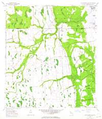
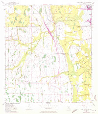
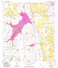
Other maps of this area

1949 · Sharpes
USGS Topo · 1:24,000

1951 · Sharpes
USGS Topo · 1:24,000

1953 · Lake Poinsett
USGS Topo · 1:24,000

1953 · Deer Park NE
USGS Topo · 1:24,000

1953 · Narcoossee NE
USGS Topo · 1:24,000

1953 · Narcoossee SE
USGS Topo · 1:24,000

1953 · Deer Park NW
USGS Topo · 1:24,000

1953 · Lake Poinsett SW
USGS Topo · 1:24,000

1953 · Holopaw
USGS Topo · 1:24,000

1953 · Lake Poinsett NW
USGS Topo · 1:24,000