2000s (21st Century) Maps of Tarpon Springs, Florida
Explore 22 historic maps of Tarpon Springs from the 2000s (21st Century). These maps offer a rare glimpse into what life looked like during the 2000s — showing old roads, neighborhoods, homes, and landmarks that have changed or disappeared over time.
Whether you're researching your family's past, planning a metal detecting trip, or studying how Tarpon Springs's landscape evolved across the 2000s, these high-resolution maps are a powerful tool for exploring the history of this region.
- Focus on a specific era: All maps on this page are from the 2000s, giving you a focused view of this time period.
- See what’s changed: Compare century-old streets, trails, and buildings to today's modern landscape using overlays and satellite layers.
- Research with precision: Use these maps for genealogy, historical research, land use analysis, or educational projects.
- View, download, or print: Maps are fully viewable online in high resolution, and can be downloaded or printed for your own records.
Start exploring Tarpon Springs's history through authentic maps from the 2000s. This is your window into the past.
Tarpon Springs, FL maps
(22)- 2012 Map of Elfers, 2012 Print
 2012 Elfers2012 Print · USGSCovers Tarpon Springs, including Holiday, New Port Richey, and other nearby areas
 - 2012 Map of Tarpon Springs, 2012 Print
 2012 Tarpon Springs2012 Print · USGSCovers Tarpon Springs, including Anclote, Gulf Harbors, and other nearby areas
 - 2012 Map of Oldsmar, 2012 Print
 2012 Oldsmar2012 Print · USGSCovers Tarpon Springs, including Clearwater, East Lake, and other nearby areas
 - 2012 Map of Dunedin, 2012 Print
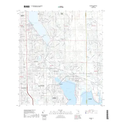
 2012 Dunedin2012 Print · USGSCovers Tarpon Springs, including Clearwater, Palm Harbor, and other nearby areas
 - 2015 Map of Elfers, 2015 Print
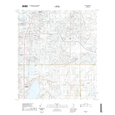
 2015 Elfers2015 Print · USGSCovers Tarpon Springs, including Holiday, New Port Richey, and other nearby areas
 - 2015 Map of Dunedin, 2015 Print
 2015 Dunedin2015 Print · USGSCovers Tarpon Springs, including Clearwater, Palm Harbor, and other nearby areas
 - 2015 Map of Tarpon Springs, 2015 Print
 2015 Tarpon Springs2015 Print · USGSCovers Tarpon Springs, including Anclote, Gulf Harbors, and other nearby areas
 - 2015 Map of Oldsmar, 2015 Print
 2015 Oldsmar2015 Print · USGSCovers Tarpon Springs, including Clearwater, East Lake, and other nearby areas
 - 2018 Map of Oldsmar, 2018 Print
 2018 Oldsmar2018 Print · USGSCovers Tarpon Springs, including Clearwater, East Lake, and other nearby areas
 - 2018 Map of Elfers, 2018 Print
 2018 Elfers2018 Print · USGSCovers Tarpon Springs, including Holiday, New Port Richey, and other nearby areas
 - 2018 Map of Dunedin, 2018 Print
 2018 Dunedin2018 Print · USGSCovers Tarpon Springs, including Clearwater, Palm Harbor, and other nearby areas
 - 2018 Map of Tarpon Springs, 2018 Print
 2018 Tarpon Springs2018 Print · USGSCovers Tarpon Springs, including Anclote, Gulf Harbors, and other nearby areas
 - 2021 Map of Tarpon Springs, 2021 Print
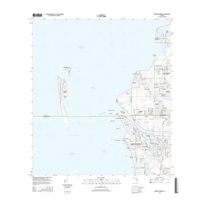
 2021 Tarpon Springs2021 Print · USGSCovers Tarpon Springs, including Anclote, Gulf Harbors, and other nearby areas
 - 2021 Map of Dunedin, 2021 Print
 2021 Dunedin2021 Print · USGSCovers Tarpon Springs, including Clearwater, Palm Harbor, and other nearby areas
 - 2021 Map of Oldsmar, 2021 Print
 2021 Oldsmar2021 Print · USGSCovers Tarpon Springs, including Clearwater, East Lake, and other nearby areas
 - 2021 Map of Elfers, 2021 Print
 2021 Elfers2021 Print · USGSCovers Tarpon Springs, including Holiday, New Port Richey, and other nearby areas
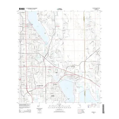
 - 2024 Map of Dunedin, 2024 Print
 2024 Dunedin2024 Print · USGSCovers Tarpon Springs, including Clearwater, Palm Harbor, and other nearby areas
 - 2024 Map of Elfers, 2024 Print
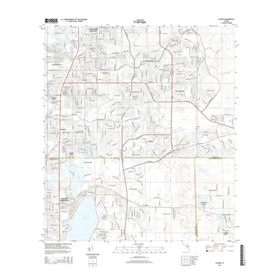
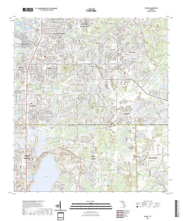 2024 Elfers2024 Print · USGSThe Florida Gulf Coast near Tarpon Springs and Elfers is shown in this modern era of suburban expansion and waterway preservation. Researchers can trace the layout of local cemeteries like Rose Cem and explore the geography of Lake Tarpon.
 - 2024 Map of Oldsmar, 2024 Print
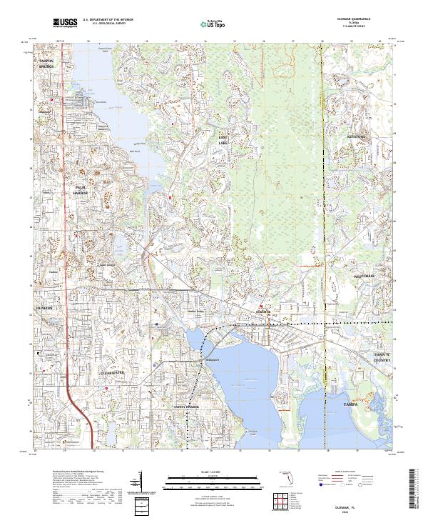 2024 Oldsmar2024 Print · USGSUpper Tampa Bay communities like Oldsmar and Safety Harbor are shown in their modern configuration along the Pinellas and Hillsborough county line. Researchers can trace suburban development around Lake Tarpon and find local landmarks such as Parklawn Memorial Cem and Saint George Lake.
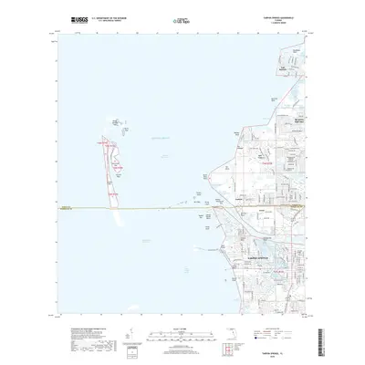
 - 2024 Map of Tarpon Springs, 2024 Print
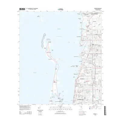
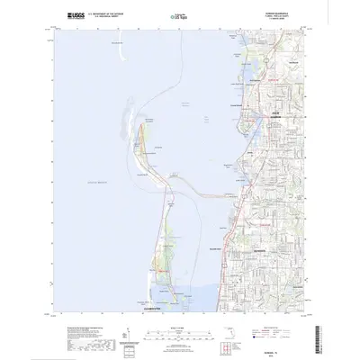
 2024 Tarpon Springs2024 Print · USGSCovers Tarpon Springs, including Anclote, Gulf Harbors, and other nearby areas
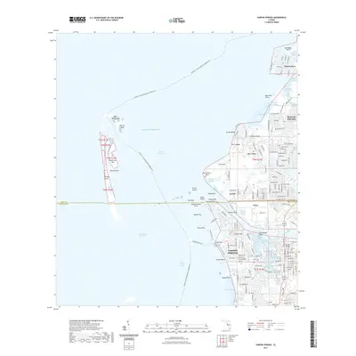
 - 2025 Map of Tarpon Springs, 2025 Print
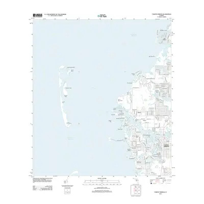
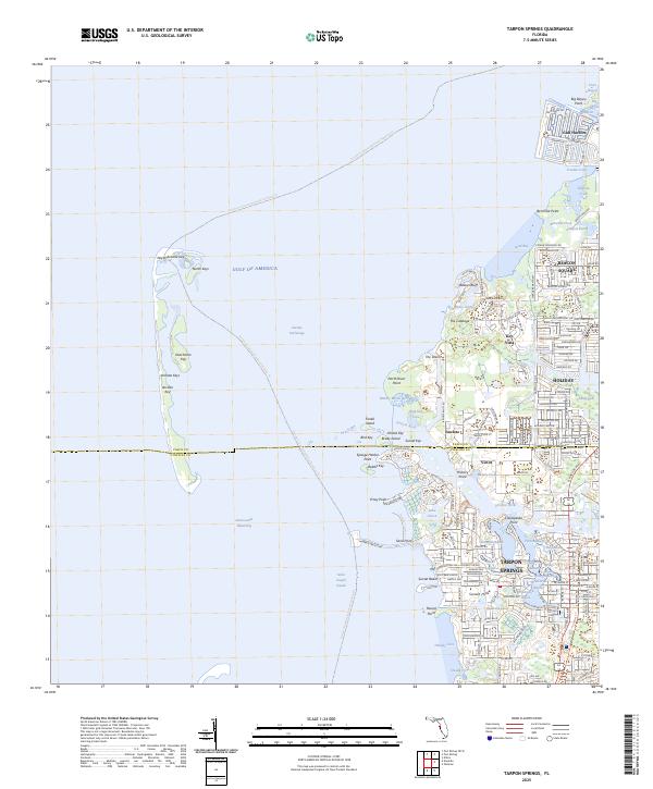 2025 Tarpon Springs2025 Print · USGSThe Florida Gulf Coast near the Pinellas-Pasco line comes into focus in this contemporary survey of the region's intricate bayous and keys. Researchers can trace the waterfront expansion of Tarpon Springs and identify landmarks like Anclote Key and the residential corridors of Holiday.
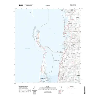
 - 2025 Map of Dunedin, 2025 Print
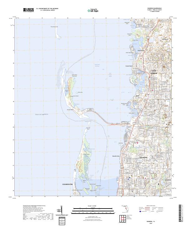 2025 Dunedin2025 Print · USGSThe Pinellas County coast comes alive in this survey of the shoreline from Palm Harbor to Clearwater. Researchers can trace the layout of Dunedin and Ozona, or find family names at Dunedin Cemetery and Memory Gardens.
End of results
Showing maps 1-22 of 22
Top cities near Tarpon Springs
- Tampa historical maps
- Clearwater historical maps
- Largo historical maps
- Palm Harbor historical maps
- Dunedin historical maps
- East Lake historical maps
See more
Top neighborhoods of Tarpon Springs
- Windrush historical maps
- North Lake of Tarpon Springs historical maps
- Santos Isle Apartment Complex historical maps
- Parkside Colony historical maps
- The Villages at Tarpon historical maps
Frequently asked questions
- What are the different types of historical maps available for Tarpon Springs?
- What is the oldest map of Tarpon Springs?
- Where can I purchase historical maps of Tarpon Springs for my home or office?
- Where can I download high-res historical maps of Tarpon Springs?
- Are there historical topographic maps available for Tarpon Springs?
- Is there historical aerial imagery available for Tarpon Springs?
- Where are historical maps of Tarpon Springs sourced from?