2010s Maps of Fort Pierce, Florida
Explore 12 historic maps of Fort Pierce from the 2010s. These maps offer a rare glimpse into what life looked like during the 2010s — showing old roads, neighborhoods, homes, and landmarks that have changed or disappeared over time.
Whether you're researching your family's past, planning a metal detecting trip, or studying how Fort Pierce's landscape evolved across the 2010s, these high-resolution maps are a powerful tool for exploring the history of this region.
- Focus on a specific era: All maps on this page are from the 2010s, giving you a focused view of this time period.
- See what’s changed: Compare century-old streets, trails, and buildings to today's modern landscape using overlays and satellite layers.
- Research with precision: Use these maps for genealogy, historical research, land use analysis, or educational projects.
- View, download, or print: Maps are fully viewable online in high resolution, and can be downloaded or printed for your own records.
Start exploring Fort Pierce's history through authentic maps from the 2010s. This is your window into the past.
Fort Pierce, FL maps
(12)- 2012 Map of Fort Pierce NW, 2012 Print
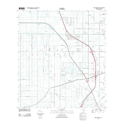 2012 Fort Pierce NW2012 Print · USGSSaint Lucie County’s landscape of drainage canals and private airfields is captured here in the early twenty-first century. Researchers can trace the development of rural blocks along Pulitzer Rd or locate regional aviation hubs like Baggett Airport and Williams Hawgwild Airport.
 - 2012 Map of Fort Pierce SW, 2012 Print
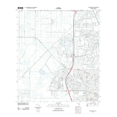 2012 Fort Pierce SW2012 Print · USGSFlorida's Atlantic coast transition is on display here as the suburban expansion of Port Saint Lucie meets the rural heritage of Carlton. Trace the evolution of the local landscape from agricultural drainage canals like C-24 Canal Rd to the campus of Indian River Community College.
 - 2012 Map of Fort Pierce, 2012 Print
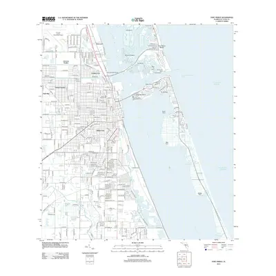 2012 Fort Pierce2012 Print · USGSCoastal Florida is mapped here just as the modern residential grid and maritime infrastructure reached a mature state. Genealogists and local historians can trace the development of Saint Lucie and White City, locating landmarks like White City Cem and Garden of Heavenly Rest.
 - 2012 Map of Ankona, 2012 Print
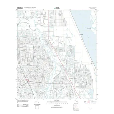 2012 Ankona2012 Print · USGSPort Saint Lucie and the Atlantic coast are shown at a peak of modern development in the early 2010s. Genealogists and local historians can trace the neighborhoods of River Park and find coastal landmarks like Ankona and the Kitching Cove Seaplane Base.
 - 2015 Map of Fort Pierce, 2015 Print
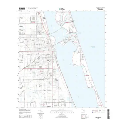 2015 Fort Pierce2015 Print · USGSThe Florida coast near Fort Pierce is shown here in the mid-2010s, capturing the area's intricate balance of lagoon navigation and suburban growth. Researchers can trace local history through the Fort Pierce Cem, the FEC railroad corridor, and the schools of White City.
 - 2015 Map of Fort Pierce NW, 2015 Print
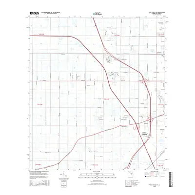 2015 Fort Pierce NW2015 Print · USGSFort Pierce and the surrounding Saint Lucie County citrus lands are captured in detail during the mid-2010s. Researchers can trace the local drainage and transit network through landmarks like Belcher Canal, Baggett Airport, and Tenmile Cr.
 - 2015 Map of Ankona, 2015 Print
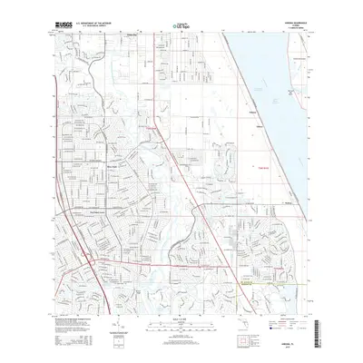 2015 Ankona2015 Print · USGSThe Florida Treasure Coast comes into focus in this modern era, showing the extensive suburban growth of Port Saint Lucie and River Park. Local researchers can trace modern road networks against historical water features like Spruce Bluff, Ankona, and the Indian River Lagoon.
 - 2015 Map of Fort Pierce SW, 2015 Print
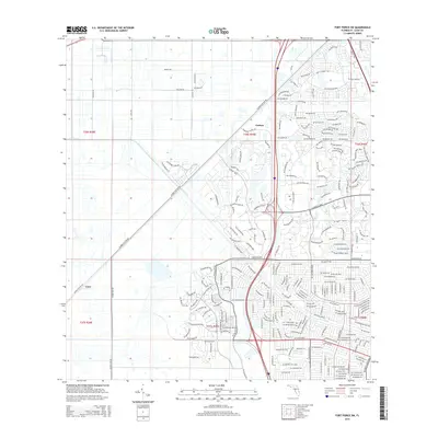 2015 Fort Pierce SW2015 Print · USGSPort Saint Lucie was undergoing rapid suburban growth during the mid-2010s, transforming former agricultural land into planned neighborhoods. Researchers can trace the modern road network through Carlton and Cana or follow drainage features like the Rim Ditch.
 - 2018 Map of Fort Pierce SW, 2018 Print
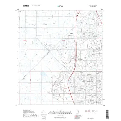 2018 Fort Pierce SW2018 Print · USGSPort Saint Lucie was undergoing rapid transformation into a hub of golf and suburban living in the late twenty-tens. Researchers can trace the expansion of neighborhood grids near Carlton and examine the specialized campus of Keiser Univ College of Golf and Sport Management.
 - 2018 Map of Fort Pierce, 2018 Print
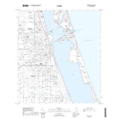 2018 Fort Pierce2018 Print · USGSThe Treasure Coast's complex geography of barrier islands and inland canals is on full display in this late-decade survey. Genealogists and historians can trace the local landscape through sites like Fort Pierce Cem, St. Lucie Village, and Indian River State College.
 - 2018 Map of Ankona, 2018 Print
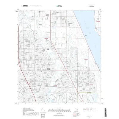 2018 Ankona2018 Print · USGSPort Saint Lucie and its neighboring coastal communities are captured here during a period of significant growth along the Indian River. Trace the expansion of Port St. Lucie and locate established settlements like Ankona, Eldred, and Spruce Bluff.
 - 2018 Map of Fort Pierce NW, 2018 Print
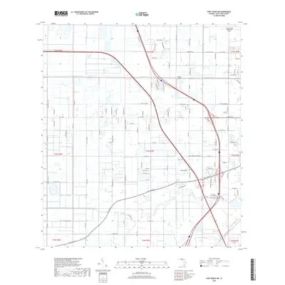 2018 Fort Pierce NW2018 Print · USGSSaint Lucie County in the late 2010s shows a landscape of drainage canals and rural development west of the coast. Trace local property and road history through family-named routes like Carlton Adams Rd or landmarks like Baggett Airport and Tenmile Creek.
End of results
Showing maps 1-12 of 12
Frequently asked questions
- What are the different types of historical maps available for Fort Pierce?
- What is the oldest map of Fort Pierce?
- Where can I purchase historical maps of Fort Pierce for my home or office?
- Where can I download high-res historical maps of Fort Pierce?
- Are there historical topographic maps available for Fort Pierce?
- Is there historical aerial imagery available for Fort Pierce?
- Where are historical maps of Fort Pierce sourced from?