Old Maps of North Port, Florida for Hiking & Exploration
Hike through history with 35 historic maps of North Port. Explore old trails, ghost towns, and forgotten backroads — perfect for outdoor adventurers and local explorers.
- Rediscover forgotten places: Map out old mining camps, roads, and footpaths that no longer exist on modern maps.
- Layer with modern tools: Combine with LiDAR or satellite views to plan hikes through historical terrain.
- Made for exploration: Popular among hikers, overlanders, and local history lovers.
Use these maps to find adventure and explore the hidden past of North Port.
North Port, FL maps
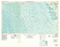
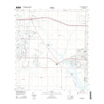
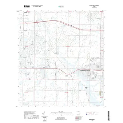
(35)- 1944 Map of Myakka River
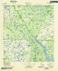 1944 Myakka River1944 Print · USGSSarasota County during the mid-forties is depicted as a landscape of river marshes and military training grounds. Genealogists and historians can trace old roads like Jackson Road and locate the wartime Bombing Area or Evans Fishing Camp.2 unique versions available
 - 1956 Map of Murdock, 1957 Print
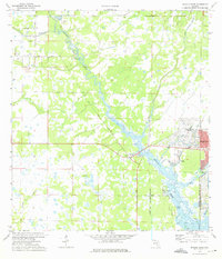
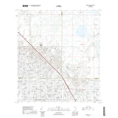
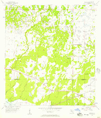 1956 Murdock1957 Print · USGSThe Florida Gulf Coast backcountry in the mid-fifties was a landscape of expansive sloughs and pioneer rail stops. You can trace the early footprint of Murdock along the Seaboard Air Line and locate historic water sources like Little Salt Spring.3 unique versions available
 - 1956 Map of Murdock SE, 1957 Print
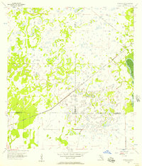 1956 Murdock SE1957 Print · USGSFlorida's coastal interior in the mid-1950s shows a landscape of expansive wetlands at the meeting point of three counties. Genealogists and historians can trace the Seaboard Air Line Railroad Grade and locate the small settlement of Platt near the Peace River.3 unique versions available
 - 1956 Map of Englewood, 1958 Print
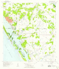 1956 Englewood1958 Print · USGSThe Gulf Coast between Sarasota and Charlotte counties is captured here in the mid-fifties during its transition from ranching to coastal residential life. Genealogists and local historians can trace early development in Englewood and Grove City, or find landmarks like the Englewood Sch and Placida Ch.4 unique versions available
 - 1956 Map of Tampa, 1964 Print
 1956 Tampa1964 Print · USGSThe Florida Gulf Coast thrived in the mid-fifties, from the bustling docks of Tampa to the quiet shores of Sanibel. Genealogists and historians can trace old rail lines like the Atlantic Coast Line or find early layouts of Port Charlotte and Bokeelia.2 unique versions available
 - 1956 Map of Charlotte Harbor, 1982 Print
 1956 Charlotte Harbor1982 Print · USGSCoastal Florida in the mid-fifties reveals the early growth of bayside communities and the preservation of vast wetland refuges. Genealogists and historians can trace rail lines like the Seaboard Air Line and find historic waterfront locales from Boca Grande to Punta Gorda.
 - 1959 Map of Tampa
 1959 Tampa1959 Print · USGSThe Florida Gulf Coast appears in this late fifties survey during a period of steady coastal growth and established rail commerce. Researchers can trace historic neighborhoods and transit lines from Tampa to St Petersburg, or locate landmarks like Mac Dill AFB and Boca Grande.
 - 1960 Map of Tampa
 1960 Tampa1960 Print · USGSThe Florida Gulf Coast was undergoing a major transformation at the start of the sixties, with new bridges linking burgeoning cities across the bays. Researchers can trace the mid-century footprints of St Petersburg and Tampa, or locate coastal landmarks like Mac Dill AFB and the Sunshine Skyway.2 unique versions available
 - 1972 Map of Tampa, 1974 Print
 1972 Tampa1974 Print · USGSThe Florida Gulf Coast appears in a period of significant growth during the early seventies, from the urban centers of the bay to the quiet southern keys. Researchers can trace the expansion of St Petersburg or locate family sites near Safety Harbor, Valrico, and Boca Ciega.
 - 1973 Map of Myakka River, 1975 Print
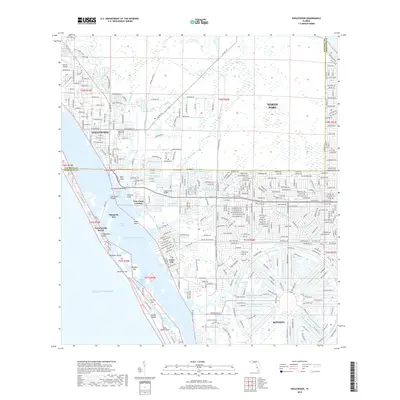
 1973 Myakka River1975 Print · USGSSarasota and Charlotte counties were beginning to see significant residential transformation in the early seventies. Genealogists and historians can trace the early footprints of North Port, the medicinal waters of Warm Mineral Springs, and landmarks like Tarpon Point.2 unique versions available
 - 1979 Map of Sarasota, 1980 Print
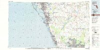 1979 Sarasota1980 Print · USGSCoastal Florida in the late seventies reveals the rapid growth of the Gulf shoreline from Bradenton down to Port Charlotte. Trace the expansion of coastal communities like Bayshore Gardens, find long-standing landmarks like Trailer Estates, or explore the vast preserve of Myakka River State Park.
 - 1981 Map of Charlotte Harbor, 1983 Print
 1981 Charlotte Harbor1983 Print · USGSCoastal Florida is captured in a period of significant growth during the early eighties, balancing new residential developments with vast protected preserves. Trace the expansion of Port Charlotte and Cape Coral alongside the Seaboard Coast Line and Cayo Costa State Preserve.
 - 1988 Map of St Petersburg
 1988 St Petersburg1988 Print · USGSThe Florida Gulf Coast reached a peak of late-twentieth-century development as seen in this late-1980s look at the growing corridor from St Petersburg to Port Charlotte. Researchers can trace the expansion of coastal infrastructure, including MacDill Air Force Base, the Seaboard System RR, and regional parks like Fort De Soto Park.
 - 2012 Map of Englewood, 2012 Print
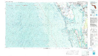
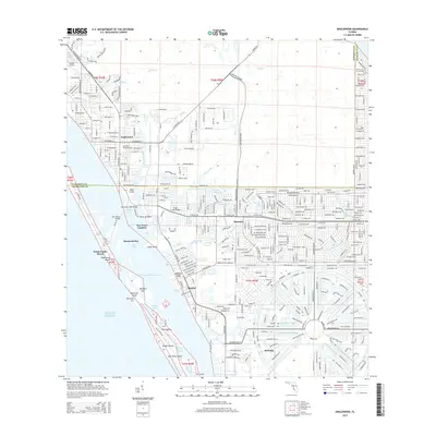
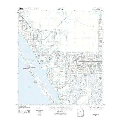 2012 Englewood2012 Print · USGSCovers North Port, including Englewood, Rotonda, and other nearby areas
 - 2012 Map of Murdock SE, 2012 Print
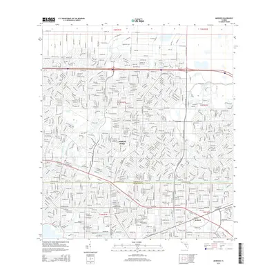
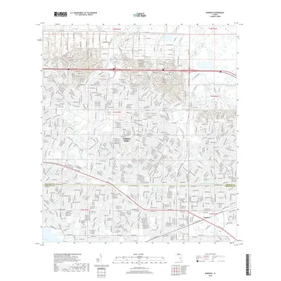
 2012 Murdock SE2012 Print · USGSCovers North Port, including Heritage Lake Park Community Development District, Lake Suzy, and other nearby areas
 - 2012 Map of Myakka River, 2012 Print
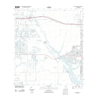 2012 Myakka River2012 Print · USGSCovers North Port, including Venice, Plantation, and other nearby areas
 - 2012 Map of Murdock, 2012 Print
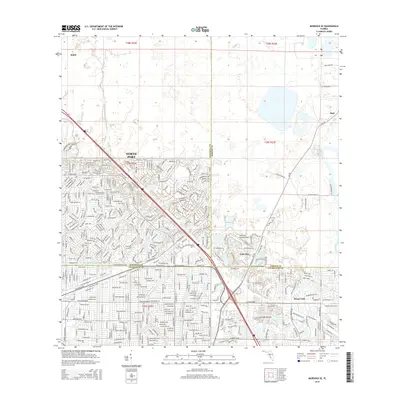
 2012 Murdock2012 Print · USGSCovers North Port, including Sarasota County, Charlotte County, and other nearby areas
 - 2015 Map of Myakka River, 2015 Print
 2015 Myakka River2015 Print · USGSCovers North Port, including Venice, Plantation, and other nearby areas
 - 2015 Map of Murdock, 2015 Print
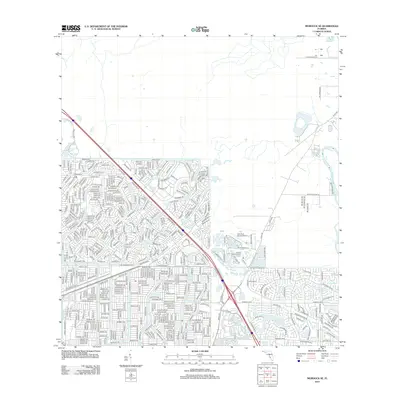
 2015 Murdock2015 Print · USGSCovers North Port, including Sarasota County, Charlotte County, and other nearby areas
 - 2015 Map of Murdock SE, 2015 Print
 2015 Murdock SE2015 Print · USGSCovers North Port, including Heritage Lake Park Community Development District, Lake Suzy, and other nearby areas
 - 2015 Map of Englewood, 2015 Print
 2015 Englewood2015 Print · USGSCovers North Port, including Englewood, Rotonda, and other nearby areas
 - 2018 Map of Englewood, 2018 Print
 2018 Englewood2018 Print · USGSCovers North Port, including Englewood, Rotonda, and other nearby areas
 - 2018 Map of Murdock SE, 2018 Print
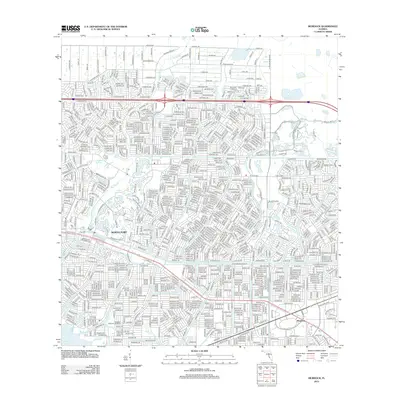
 2018 Murdock SE2018 Print · USGSCovers North Port, including Heritage Lake Park Community Development District, Lake Suzy, and other nearby areas
 - 2018 Map of Murdock, 2018 Print
 2018 Murdock2018 Print · USGSCovers North Port, including Sarasota County, Charlotte County, and other nearby areas
 - 2018 Map of Myakka River, 2018 Print
 2018 Myakka River2018 Print · USGSCovers North Port, including Venice, Plantation, and other nearby areas
Showing maps 1-25 of 35
Top cities near North Port
- Port Charlotte historical maps
- Venice historical maps
- Englewood historical maps
- Punta Gorda historical maps
- South Venice historical maps
- Rotonda historical maps
See more
Top neighborhoods of North Port
Frequently asked questions
- What are the different types of historical maps available for North Port?
- What is the oldest map of North Port?
- Where can I purchase historical maps of North Port for my home or office?
- Where can I download high-res historical maps of North Port?
- Are there historical topographic maps available for North Port?
- Is there historical aerial imagery available for North Port?
- Where are historical maps of North Port sourced from?