2000s (21st Century) Maps of North Port, Florida
Explore 22 historic maps of North Port from the 2000s (21st Century). These maps offer a rare glimpse into what life looked like during the 2000s — showing old roads, neighborhoods, homes, and landmarks that have changed or disappeared over time.
Whether you're researching your family's past, planning a metal detecting trip, or studying how North Port's landscape evolved across the 2000s, these high-resolution maps are a powerful tool for exploring the history of this region.
- Focus on a specific era: All maps on this page are from the 2000s, giving you a focused view of this time period.
- See what’s changed: Compare century-old streets, trails, and buildings to today's modern landscape using overlays and satellite layers.
- Research with precision: Use these maps for genealogy, historical research, land use analysis, or educational projects.
- View, download, or print: Maps are fully viewable online in high resolution, and can be downloaded or printed for your own records.
Start exploring North Port's history through authentic maps from the 2000s. This is your window into the past.
North Port, FL maps
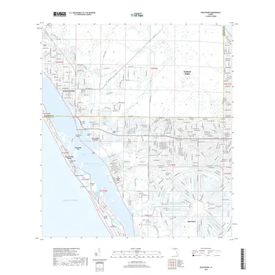
(22)- 2012 Map of Englewood, 2012 Print
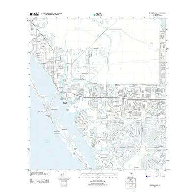 2012 Englewood2012 Print · USGSCovers North Port, including Englewood, Rotonda, and other nearby areas
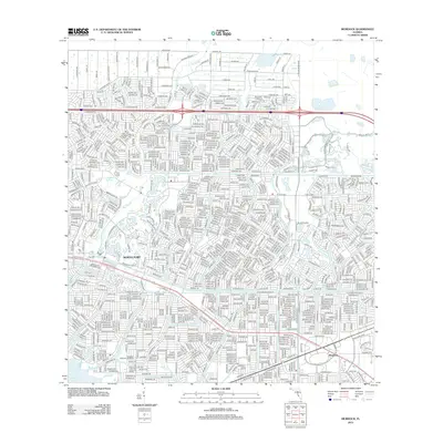
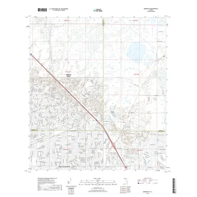
 - 2012 Map of Murdock SE, 2012 Print
 2012 Murdock SE2012 Print · USGSCovers North Port, including Heritage Lake Park Community Development District, Lake Suzy, and other nearby areas
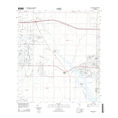
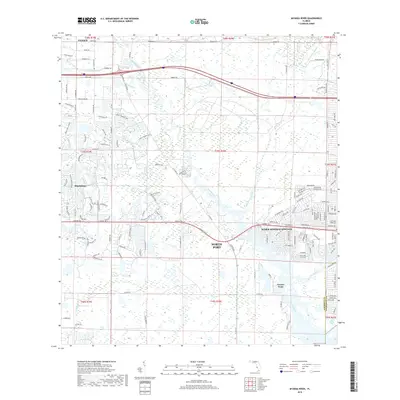
 - 2012 Map of Myakka River, 2012 Print
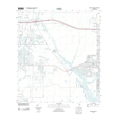 2012 Myakka River2012 Print · USGSCovers North Port, including Venice, Plantation, and other nearby areas
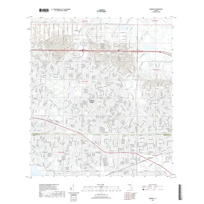
 - 2012 Map of Murdock, 2012 Print
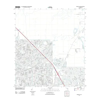
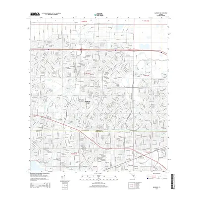
 2012 Murdock2012 Print · USGSCovers North Port, including Sarasota County, Charlotte County, and other nearby areas
 - 2015 Map of Myakka River, 2015 Print
 2015 Myakka River2015 Print · USGSCovers North Port, including Venice, Plantation, and other nearby areas
 - 2015 Map of Murdock, 2015 Print
 2015 Murdock2015 Print · USGSCovers North Port, including Sarasota County, Charlotte County, and other nearby areas
 - 2015 Map of Murdock SE, 2015 Print
 2015 Murdock SE2015 Print · USGSCovers North Port, including Heritage Lake Park Community Development District, Lake Suzy, and other nearby areas
 - 2015 Map of Englewood, 2015 Print
 2015 Englewood2015 Print · USGSCovers North Port, including Englewood, Rotonda, and other nearby areas
 - 2018 Map of Englewood, 2018 Print
 2018 Englewood2018 Print · USGSCovers North Port, including Englewood, Rotonda, and other nearby areas
 - 2018 Map of Murdock SE, 2018 Print
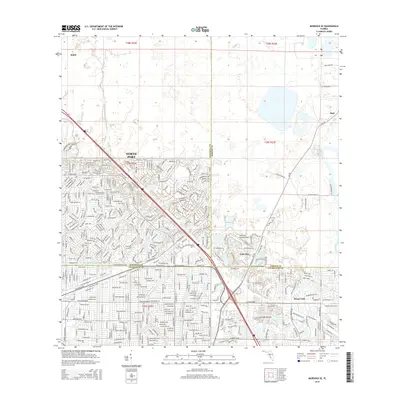
 2018 Murdock SE2018 Print · USGSCovers North Port, including Heritage Lake Park Community Development District, Lake Suzy, and other nearby areas
 - 2018 Map of Murdock, 2018 Print
 2018 Murdock2018 Print · USGSCovers North Port, including Sarasota County, Charlotte County, and other nearby areas
 - 2018 Map of Myakka River, 2018 Print
 2018 Myakka River2018 Print · USGSCovers North Port, including Venice, Plantation, and other nearby areas
 - 2021 Map of Murdock SE, 2021 Print
 2021 Murdock SE2021 Print · USGSCovers North Port, including Heritage Lake Park Community Development District, Lake Suzy, and other nearby areas
 - 2021 Map of Englewood, 2021 Print
 2021 Englewood2021 Print · USGSCovers North Port, including Englewood, Rotonda, and other nearby areas
 - 2021 Map of Myakka River, 2021 Print
 2021 Myakka River2021 Print · USGSCovers North Port, including Venice, Plantation, and other nearby areas
 - 2021 Map of Murdock, 2021 Print
 2021 Murdock2021 Print · USGSCovers North Port, including Sarasota County, Charlotte County, and other nearby areas
 - 2023 Map of Murdock, 2023 Print
 2023 Murdock2023 Print · USGSCovers North Port, including Sarasota County, Charlotte County, and other nearby areas
 - 2024 Map of Murdock, 2024 Print
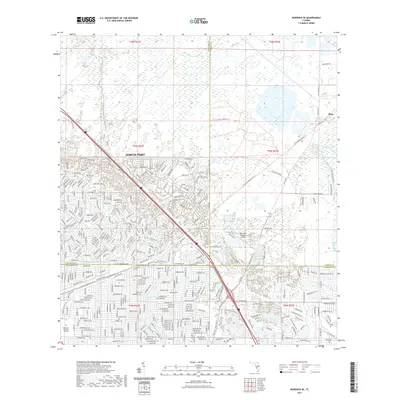
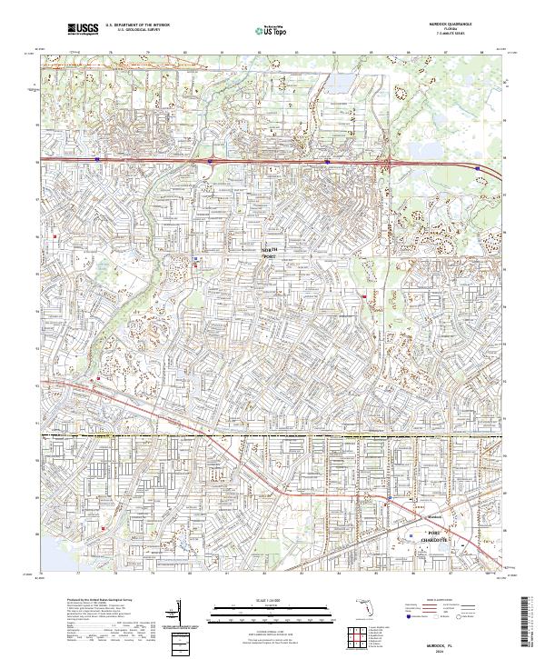 2024 Murdock2024 Print · USGSThe Sarasota and Charlotte County borderlands are captured here in the early twenty-first century as suburban expansion meets protected wetlands. Researchers can trace the development of North Port and Murdock or follow waterways like Big Slough and Myakkahatchee Creek.
 - 2024 Map of Englewood, 2024 Print
 2024 Englewood2024 Print · USGSCovers North Port, including Englewood, Rotonda, and other nearby areas
 - 2024 Map of Murdock SE, 2024 Print
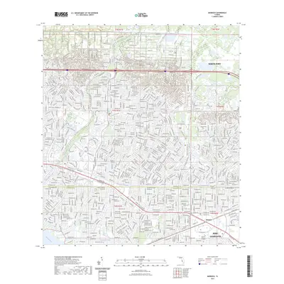
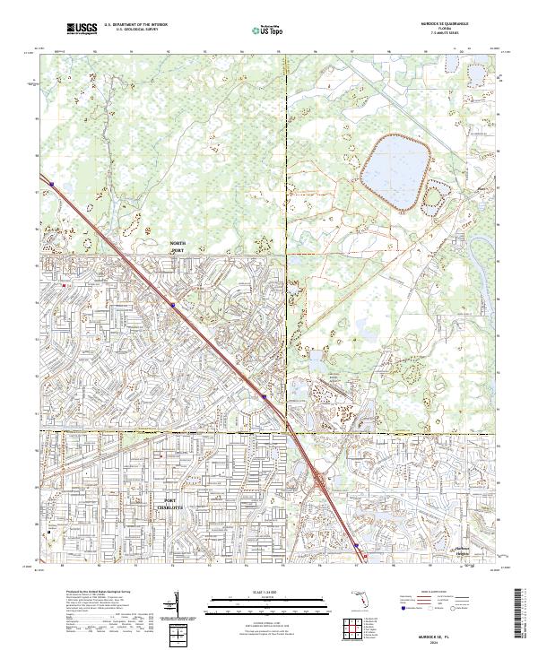 2024 Murdock SE2024 Print · USGSThe Sarasota and Charlotte county line comes into focus in this recent survey of the growing Gulf Coast suburbs. Genealogists and local researchers can trace residential development near the Cocoplum Waterway, the Peace River, and Restlawn Memorial Gardens.
 - 2024 Map of Myakka River, 2024 Print
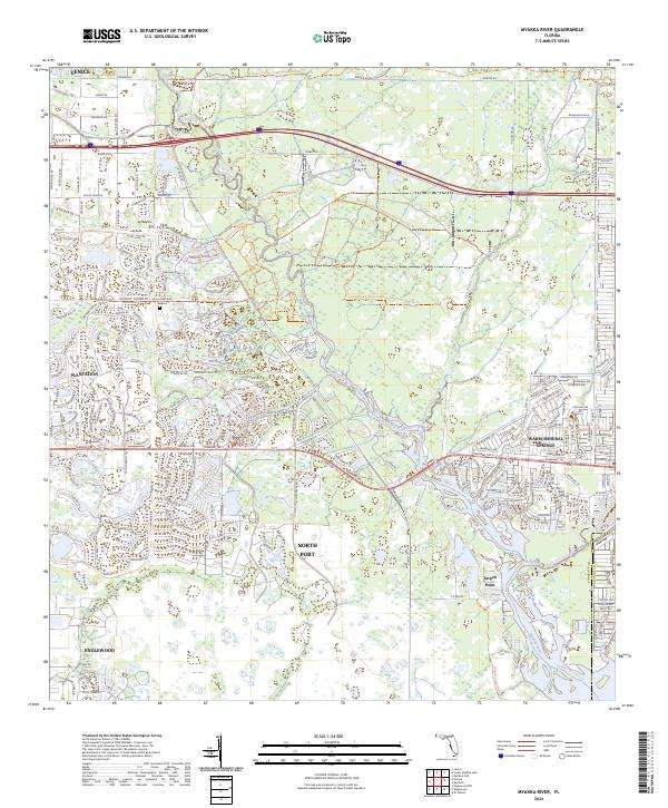 2024 Myakka River2024 Print · USGSSarasota County's coastal interior comes into focus during this era of modern suburban growth and river preservation. Local researchers can trace the developed neighborhoods of North Port and Plantation alongside the natural courses of the Myakka River and Big Slough.
 - 2025 Map of Englewood, 2025 Print
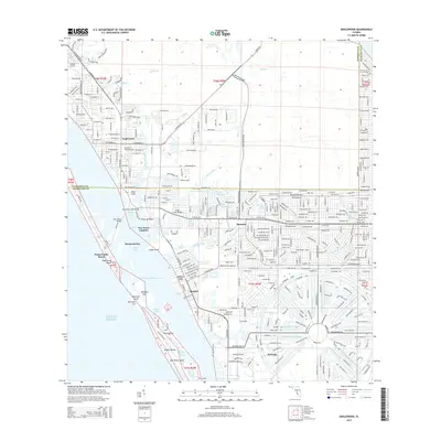
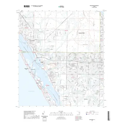
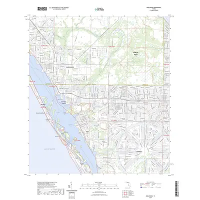
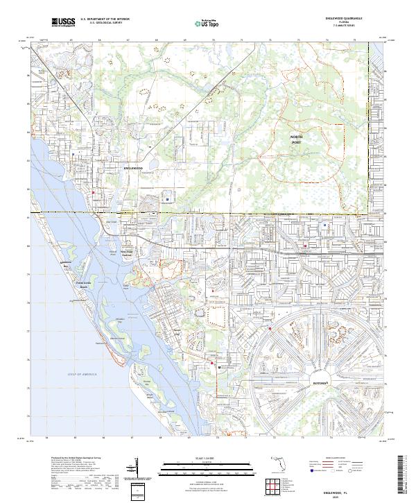 2025 Englewood2025 Print · USGSThe Florida Gulf Coast near Englewood is shown here as a modern landscape of planned waterfront communities and barrier islands. Researchers can trace the unique circular layout of Rotonda or locate landmarks like Buchan Airport and Punta Gorda Beach.
End of results
Showing maps 1-22 of 22
Top cities near North Port
- Port Charlotte historical maps
- Venice historical maps
- Englewood historical maps
- Punta Gorda historical maps
- South Venice historical maps
- Rotonda historical maps
See more
Top neighborhoods of North Port
Frequently asked questions
- What are the different types of historical maps available for North Port?
- What is the oldest map of North Port?
- Where can I purchase historical maps of North Port for my home or office?
- Where can I download high-res historical maps of North Port?
- Are there historical topographic maps available for North Port?
- Is there historical aerial imagery available for North Port?
- Where are historical maps of North Port sourced from?