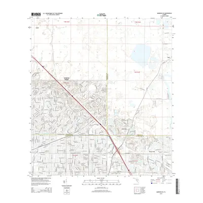
2015 Map of Murdock SE
USGS Topo · Published 2015About this map
North Port anchors the western portion of this 2015 survey, revealing an intricate grid of residential street names and planned waterways that define this region's modern suburban character. The map captures the tri-county intersection of Sarasota, Charlotte, and DeSoto counties, a landscape where drainage and development are inextricably linked. The Cocoplum Waterway and various canal systems cut through the terrain, supporting the expansion of neighborhoods south of E Price Blvd.
Find a feature on this map
24 named features on this map. Tap any name to fly to it.
Don’t see what you’re looking for? This feature index may not catch every label — zoom into the map to look around manually.
Map Details
Editions of this 2015 Murdock SE Map
This is the sole edition of this map. No revisions or reprints were ever made.
Other maps of this area
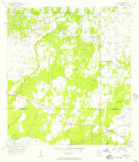
1956 · Murdock
USGS Topo · 1:24,000
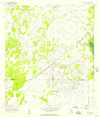
1956 · Murdock SE
USGS Topo · 1:24,000
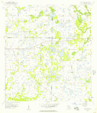
1956 · Murdock NE
USGS Topo · 1:24,000
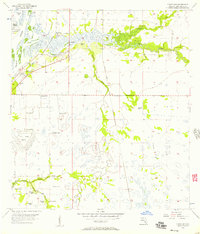
1956 · Cleveland
USGS Topo · 1:24,000
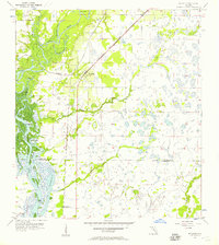
1956 · Ft. Ogden
USGS Topo · 1:24,000
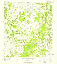
1956 · Nocatee
USGS Topo · 1:24,000
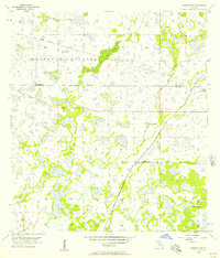
1956 · Murdock NW
USGS Topo · 1:24,000

1956 · West Palm Beach
USGS Topo · 1:250,000

1956 · Tampa
USGS Topo · 1:250,000
1956 · Fort Pierce
USGS Topo · 1:250,000
Featured Places
- North Port, FL
- Heritage Lake Park Community Development District, FL
- Lake Suzy, FL
- Sidell, North Port
- Deep Creek, FL