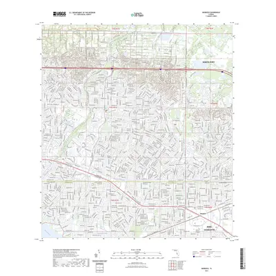
2023 Map of Murdock
USGS Topo · Published 2023About this map
North Port and the surrounding suburban expansion of Port Charlotte dominate this coastal Florida landscape, where a complex network of residential streets meets the natural hydrology of the Gulf Coast. The map reveals the intricate drainage and canal systems characteristic of this region, including the Cocoplum Waterway and the winding course of Myakkatatachee Creek. In the south, the community of Murdock sits at the junction of major transit corridors like the Tamiami Trl and Veterans Boulevard Trl, serving as a commercial and educational hub for the area near Charlotte Technical College. Large conservation areas such as the T Mabry Carlton Jr Memorial Preserve and unique geological features like Little-Salt Spring provide a sharp contrast to the densely gridded subdivisions. The southern boundary is defined by the broad Myakka River and its confluence with Sam Knight Creek.
Find a feature on this map
28 named features on this map. Tap any name to fly to it.
Don’t see what you’re looking for? This feature index may not catch every label — zoom into the map to look around manually.
Map Details
Editions of this 2023 Murdock Map
This is the sole edition of this map. No revisions or reprints were ever made.
Other maps of this area

1944 · Lower Myakka Lake
USGS Topo · 1:31,680

1944 · Myakka River
USGS Topo · 1:31,680

1956 · Murdock
USGS Topo · 1:24,000

1956 · Murdock SE
USGS Topo · 1:24,000

1956 · Murdock NE
USGS Topo · 1:24,000

1956 · Murdock NW
USGS Topo · 1:24,000

1956 · Englewood
USGS Topo · 1:24,000

1956 · Tampa
USGS Topo · 1:250,000

1956 · Charlotte Harbor
USGS Topo · 1:250,000

1957 · El Jobean
USGS Topo · 1:24,000