Old Maps of Hucomer, Florida for Hiking & Exploration
Hike through history with 11 historic maps of Hucomer. Explore old trails, ghost towns, and forgotten backroads — perfect for outdoor adventurers and local explorers.
- Rediscover forgotten places: Map out old mining camps, roads, and footpaths that no longer exist on modern maps.
- Layer with modern tools: Combine with LiDAR or satellite views to plan hikes through historical terrain.
- Made for exploration: Popular among hikers, overlanders, and local history lovers.
Use these maps to find adventure and explore the hidden past of Hucomer.
Hucomer, FL maps
(11)- 1950 Map of Edgewater, 1952 Print
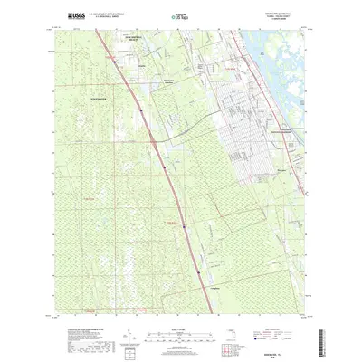
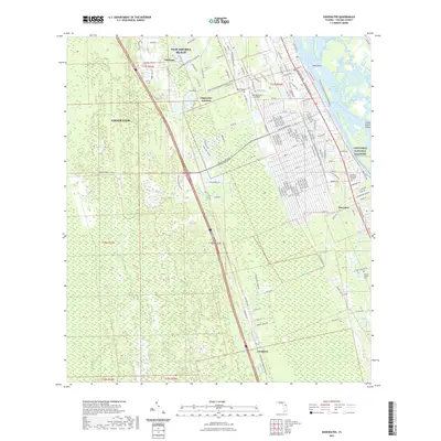
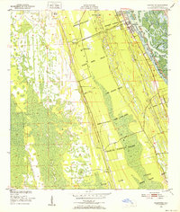 1950 Edgewater1952 Print · USGSThe Volusia County coastline in the early fifties remains a patchwork of historic Spanish land grants and emerging rail towns. Genealogists and historians can trace family-named landmarks like the Ambrose Hull Grant alongside settlements at Edgewater and Hucomer.5 unique versions available
 - 1955 Map of Orlando, 1969 Print
 1955 Orlando1969 Print · USGSCentral Florida was entering the space age in the mid-fifties, balancing its citrus heritage with new military and aerospace frontiers. You can trace early developments at Kennedy Space Center or locate interior settlements like Eatonville and Pine Castle.3 unique versions available
 - 1957 Map of Orlando
 1957 Orlando1957 Print · USGSCovers Hucomer, including Orlando, Palm Bay, and other nearby areas
 - 1958 Map of Orlando
 1958 Orlando1958 Print · USGSCentral Florida was a landscape of citrus, rail, and emerging aerospace technology during the late fifties. Researchers can trace the early footprints of Cape Canaveral and Patrick Air Force Base or locate inland citrus and rail hubs like Sanford and Lakeland.
 - 1962 Map of Orlando
 1962 Orlando1962 Print · USGSCentral Florida was transformed by aerospace and citrus at the start of the sixties. Genealogists and historians can trace old community footprints from Eau Gallie to Leesburg, alongside landmarks like McCoy AFB and the winding Econlockhatchee River.
 - 1979 Map of Titusville, 1980 Print
 1979 Titusville1980 Print · USGSThe Florida coast near Titusville shows a unique duality in the late seventies between aerospace ambition and coastal wilderness. Genealogists and historians can trace property boundaries of early land grants like Joseph Wales alongside the John F Kennedy Space Center (NASA).
 - 2012 Map of Edgewater, 2012 Print
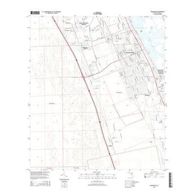
 2012 Edgewater2012 Print · USGSCovers Hucomer, including Edgewater, Creighton, and other nearby areas
 - 2015 Map of Edgewater, 2015 Print
 2015 Edgewater2015 Print · USGSCovers Hucomer, including Edgewater, Creighton, and other nearby areas
 - 2018 Map of Edgewater, 2018 Print
 2018 Edgewater2018 Print · USGSCovers Hucomer, including Edgewater, Creighton, and other nearby areas
 - 2021 Map of Edgewater, 2021 Print
 2021 Edgewater2021 Print · USGSCovers Hucomer, including Edgewater, Creighton, and other nearby areas
 - 2024 Map of Edgewater, 2024 Print
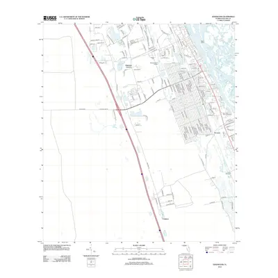
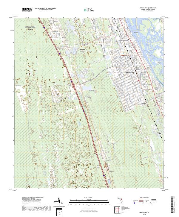 2024 Edgewater2024 Print · USGSThe Volusia County coast comes into focus in this contemporary survey, where the development of Edgewater meets the Canaveral National Seashore. Genealogists and local historians can trace small settlements like Hucomer and Creighton or locate the Clinton Family Cem.
End of results
Showing maps 1-11 of 11
Top cities near Hucomer
- Daytona Beach historical maps
- New Smyrna Beach historical maps
- Edgewater historical maps
- Samsula-Spruce Creek historical maps
- Daytona Beach Shores historical maps
- Ponce Inlet historical maps
See more
Frequently asked questions
- What are the different types of historical maps available for Hucomer?
- What is the oldest map of Hucomer?
- Where can I purchase historical maps of Hucomer for my home or office?
- Where can I download high-res historical maps of Hucomer?
- Are there historical topographic maps available for Hucomer?
- Is there historical aerial imagery available for Hucomer?
- Where are historical maps of Hucomer sourced from?