Old Maps of Pennichaw, Florida for Academic Research
Study the evolution of Pennichaw with 12 high-resolution historic maps. Whether you're teaching, researching, or modeling changes in land use, these maps provide essential visual documentation of urban, environmental, and geographic change.
- Analyze long-term change: Track patterns in development, transportation, and natural features.
- Ideal for environmental or urban studies: Support academic projects with primary historical map data.
- Use in the classroom or lab: Educators and researchers rely on these maps to bring historical context to life.
These maps are a powerful tool for teaching, research, and visualizing how Pennichaw has changed over the decades.
Pennichaw, FL maps
(12)- 1949 Map of Osceola, 1983 Print
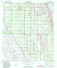 1949 Osceola1983 Print · USGSAlong the Florida coastline in the late 1940s, the citrus groves and nascent residential tracks of the Atlantic shore were beginning to transform. Researchers can trace the early footprints of Vero Beach, locate the McKee Jungle Gardens, and follow the Florida East Coast railway through Oslo.
 - 1955 Map of Orlando, 1969 Print
 1955 Orlando1969 Print · USGSCentral Florida was entering the space age in the mid-fifties, balancing its citrus heritage with new military and aerospace frontiers. You can trace early developments at Kennedy Space Center or locate interior settlements like Eatonville and Pine Castle.3 unique versions available
 - 1957 Map of Orlando
 1957 Orlando1957 Print · USGSCovers Pennichaw, including Orlando, Palm Bay, and other nearby areas
 - 1958 Map of Orlando
 1958 Orlando1958 Print · USGSCentral Florida was a landscape of citrus, rail, and emerging aerospace technology during the late fifties. Researchers can trace the early footprints of Cape Canaveral and Patrick Air Force Base or locate inland citrus and rail hubs like Sanford and Lakeland.
 - 1962 Map of Orlando
 1962 Orlando1962 Print · USGSCentral Florida was transformed by aerospace and citrus at the start of the sixties. Genealogists and historians can trace old community footprints from Eau Gallie to Leesburg, alongside landmarks like McCoy AFB and the winding Econlockhatchee River.
 - 1966 Map of Osceola, 1968 Print
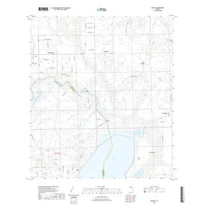
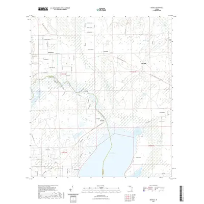
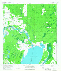 1966 Osceola1968 Print · USGSThe St. Johns River wetlands meet military history in the mid-1960s as this area of Volusia and Seminole counties transitions. Researchers can trace the footprint of Osceola Field (Abandoned), the ruins at Osceola, and small settlements like Kalamazoo and Farmton.4 unique versions available
 - 1979 Map of Orlando, 1980 Print
 1979 Orlando1980 Print · USGSCentral Florida's lake country and growing urban corridors are captured here just before the decade's end. Genealogists and historians can trace the transition from citrus rail towns like Winter Garden to the suburban expansion along I-4 and Florida's Turnpike.3 unique versions available
 - 2012 Map of Osceola, 2012 Print
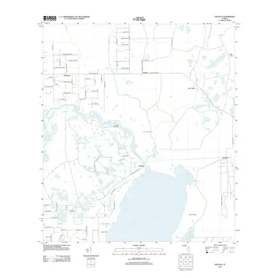 2012 Osceola2012 Print · USGSCovers Pennichaw, including Cow Creek, Kalamazoo, and other nearby areas
 - 2015 Map of Osceola, 2015 Print
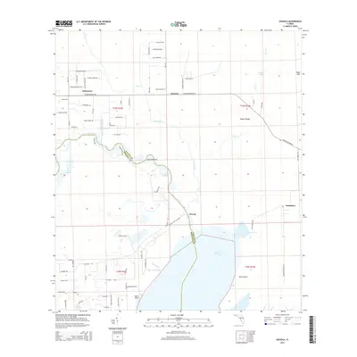 2015 Osceola2015 Print · USGSCovers Pennichaw, including Cow Creek, Kalamazoo, and other nearby areas
 - 2018 Map of Osceola, 2018 Print
 2018 Osceola2018 Print · USGSCovers Pennichaw, including Cow Creek, Kalamazoo, and other nearby areas
 - 2021 Map of Osceola, 2021 Print
 2021 Osceola2021 Print · USGSCovers Pennichaw, including Cow Creek, Kalamazoo, and other nearby areas
 - 2024 Map of Osceola, 2024 Print
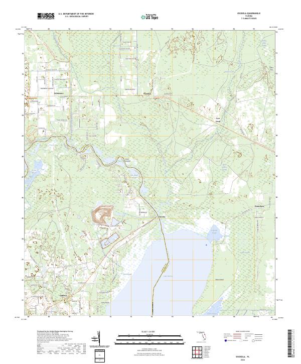 2024 Osceola2024 Print · USGSThe rural riverlands along the Volusia and Seminole county line are captured here as they appeared in 2024. Genealogists and historians can trace the old rail corridor through Kalamazoo and Farmton or locate family sites near Lake Harney and Harts Lake.
End of results
Showing maps 1-12 of 12
Top cities near Pennichaw
- Orlando historical maps
- Deltona historical maps
- Sanford historical maps
- Titusville historical maps
- Oviedo historical maps
- Edgewater historical maps
See more
Frequently asked questions
- What are the different types of historical maps available for Pennichaw?
- What is the oldest map of Pennichaw?
- Where can I purchase historical maps of Pennichaw for my home or office?
- Where can I download high-res historical maps of Pennichaw?
- Are there historical topographic maps available for Pennichaw?
- Is there historical aerial imagery available for Pennichaw?
- Where are historical maps of Pennichaw sourced from?