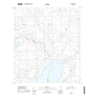
2018 Map of Osceola
USGS Topo · Published 2018About this map
Lake Harney dominates the southern landscape of this Volusia and Seminole County border region, where the Saint Johns River flows through a complex network of wetlands and sloughs. The settlement of Osceola sits near the river's bend, historically connected to the surrounding woods by routes like Osceola Fish Camp Rd. To the north, the terrain transitions into a grid of rural tracts and forest, marked by small communities such as Kalamazoo, Farmton, and Cow Creek.
Find a feature on this map
67 named features on this map. Tap any name to fly to it.
Don’t see what you’re looking for? This feature index may not catch every label — zoom into the map to look around manually.
Map Details
Editions of this 2018 Osceola Map
This is the sole edition of this map. No revisions or reprints were ever made.
Other maps of this area

1949 · Osceola
USGS Topo · 1:24,000

1950 · Maytown
USGS Topo · 1:24,000

1950 · Edgewater
USGS Topo · 1:24,000

1950 · Aurantia
USGS Topo · 1:24,000

1953 · Geneva
USGS Topo · 1:24,000

1955 · Orlando
USGS Topo · 1:250,000

1956 · Oviedo
USGS Topo · 1:24,000

1957 · Orlando
USGS Topo · 1:250,000

1958 · Orlando
USGS Topo · 1:250,000

1962 · Orlando
USGS Topo · 1:250,000