2020s Maps of Washington County, Florida
Explore 38 historic maps of Washington County from the 2020s. These maps offer a rare glimpse into what life looked like during the 2020s — showing old roads, neighborhoods, homes, and landmarks that have changed or disappeared over time.
Whether you're researching your family's past, planning a metal detecting trip, or studying how Washington County's landscape evolved across the 2020s, these high-resolution maps are a powerful tool for exploring the history of this region.
- Focus on a specific era: All maps on this page are from the 2020s, giving you a focused view of this time period.
- See what’s changed: Compare century-old streets, trails, and buildings to today's modern landscape using overlays and satellite layers.
- Research with precision: Use these maps for genealogy, historical research, land use analysis, or educational projects.
- View, download, or print: Maps are fully viewable online in high resolution, and can be downloaded or printed for your own records.
Start exploring Washington County's history through authentic maps from the 2020s. This is your window into the past.
Washington County, FL maps
(38)- 2021 Map of Caryville, 2021 Print
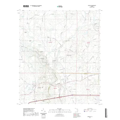 2021 Caryville2021 Print · USGSThe river-and-rail corridor at the Holmes and Washington County line comes into focus in this recent survey. Local historians can trace family-named sites and cemeteries like Blackman Cem and Harris Chapel Cem near the Choctawhatchee River.
 - 2021 Map of Bennett, 2021 Print
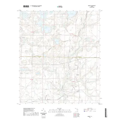 2021 Bennett2021 Print · USGSNorthwest Florida's pine woods and spring-fed basins are mapped here in the early twenty-first century, showing the rural communities of Bennett and Econfina. Genealogists and historians can locate the Porter Cem, trace the Mitchell Mill Br, and explore the winding paths of the Florida National Scenic Trl.
 - 2021 Map of Poplar Head, 2021 Print
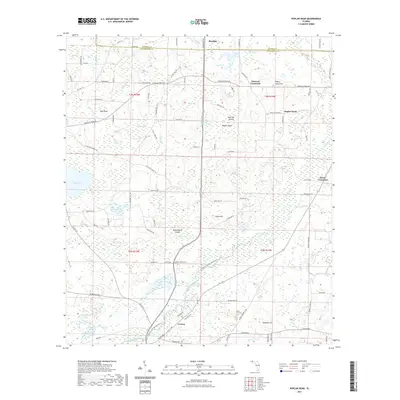 2021 Poplar Head2021 Print · USGSThe Florida Panhandle near the Holmes Creek corridor is shown here as it appeared in the early 2020s. Researchers can trace rural settlement patterns through crossroads like Johnson Crossroad or explore the wetland geography of Pate Lake and Little Devils Garden.
 - 2021 Map of Fountain, 2021 Print
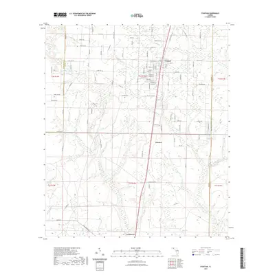 2021 Fountain2021 Print · USGSThe Florida Panhandle near the meeting of Washington and Calhoun counties shows a landscape of small rural settlements and extensive creek networks. Researchers can trace the development of Fountain and Youngstown, while locating landmarks like Bear Pond and Mitchell Mill Cr.
 - 2021 Map of Cottondale West, 2021 Print
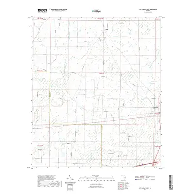 2021 Cottondale West2021 Print · USGSJackson County and the community of Cottondale are documented here in recent years, showing the intersection of rural life and coastal plain wetlands. Researchers can locate family landmarks like Rock Hill Cem or trace the waters of Skipper Lake and Jacob City.
 - 2021 Map of Vernon, 2021 Print
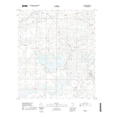 2021 Vernon2021 Print · USGSThe community of Vernon and the lowlands of Holmes Valley are captured here in the early twenty-first century. Genealogists and historians can trace local family lineages through Potter Cem and Tiller Cem or explore the water-bound geography of Pippin Mill Cr.
 - 2021 Map of Alford, 2021 Print
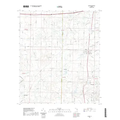 2021 Alford2021 Print · USGSAlford and the surrounding Florida panhandle landscape appear here in the early twenty-first century, showcasing a transition from rural timberlands to established small communities. Researchers can trace the legacy of local industry at Kent Mill and Gilberts Mill, or locate family sites near Kent Cem.
 - 2021 Map of Bruce, 2021 Print
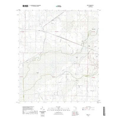 2021 Bruce2021 Print · USGSThe Florida panhandle comes into focus in this recent survey of the Choctawhatchee River lowlands and its surrounding pine forests. Researchers can trace local landmarks and timber-era routes like Gum Lock Cemetary Rd, the community of Bruce, and Cowford Island.
 - 2021 Map of Hinsons Crossroads, 2021 Print
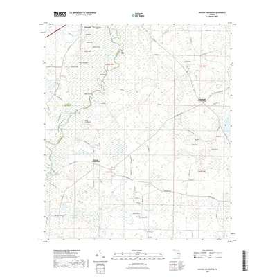 2021 Hinsons Crossroads2021 Print · USGSWestville and the surrounding wetlands of Holmes and Walton counties are captured here in the early twenty-first century. Genealogists and local historians can trace family land via named sites like Clarkston Cem, Hog Island, and Hinsons Crossroads.
 - 2021 Map of Redbay, 2021 Print
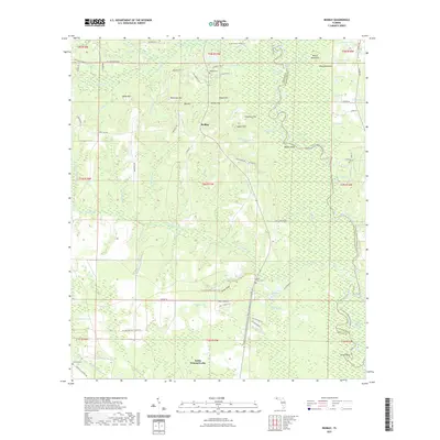 2021 Redbay2021 Print · USGSWalton County's river-fed lowlands and ridges are documented here in the early twenty-first century. Genealogists and local historians can trace the community of Redbay, locate the Redbay Cem, and follow the Florida National Scenic Trl through the Buzzard Roost Swamp.
 - 2021 Map of Millers Ferry, 2021 Print
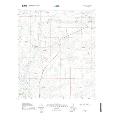 2021 Millers Ferry2021 Print · USGSNorthwest Florida's riverine landscape is captured here in the early twenty-first century, centered on the winding Holmes Creek and the settlement of New Hope. Researchers can trace local genealogy through several family-named landmarks and sites like Miller Cem, Weeks Cem, and Millers Ferry.
 - 2021 Map of Compass Lake, 2021 Print
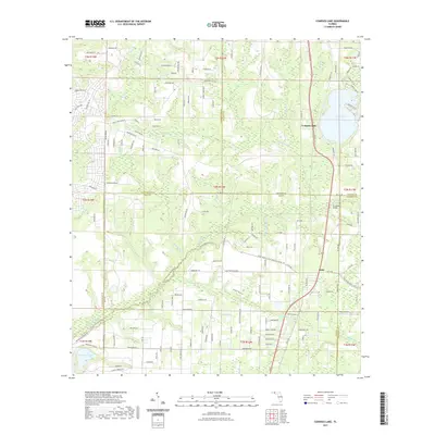 2021 Compass Lake2021 Print · USGSFlorida's Panhandle interior near the Jackson and Washington county lines reveals a landscape of spring-fed waters and rural outposts. Trace family roots and local geography through Compass Lake, the Betts settlement, and crossings like Econfina Bridge.
 - 2021 Map of Ponce de Leon, 2021 Print
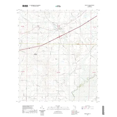 2021 Ponce de Leon2021 Print · USGSThe rural Florida Panhandle comes into focus at the turn of the 2020s, centered on the historic springs and ridges of Holmes County. Genealogists and local historians can trace family locations near Ponce de Leon Cem, Douglass Crossroads, and Morrison Spring.
 - 2021 Map of Wausau, 2021 Print
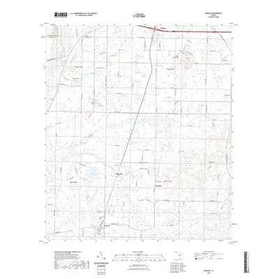 2021 Wausau2021 Print · USGSThe Florida Panhandle's wetland interior is documented here in the early twenty-first century, centered on the communities of Wausau and Bells Mill. Local historians can trace family roots through the Shiloh Baptist Cem or explore landmarks like Falling Water Hill and Owens Lake.
 - 2021 Map of Gap Lake, 2021 Print
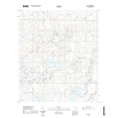 2021 Gap Lake2021 Print · USGSFlorida's Panhandle is documented here in the early twenty-first century, showing the rural crossroads of Wausau and the surrounding swamps and hills. Researchers can locate numerous family burial grounds like Wood Cemetery and Deadening Cemetery or trace the early industrial sites at Griffin Mill Pond.
 - 2021 Map of Bonifay, 2021 Print
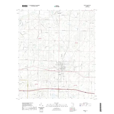 2021 Bonifay2021 Print · USGSBonifay and the wetlands of the Florida Panhandle are captured here in the early twenty-first century. Researchers can trace family-named sites like Tom Williams Bay and Pate Pond, or locate civic landmarks including the Holmes County Courthouse and Still Cem.
 - 2021 Map of Red Head, 2021 Print
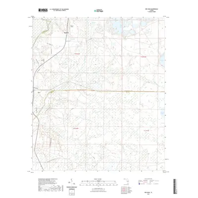 2021 Red Head2021 Print · USGSNorthwest Florida's riverine corridor comes into focus here in the early 2020s, centered on the Choctawhatchee River and the rural communities of Red Head and Ebro. Genealogists and hikers can trace the Ebro Community Cem and the path of the Florida National Scenic Trl through the pine forests.
 - 2021 Map of Crystal Lake, 2021 Print
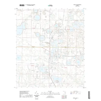 2021 Crystal Lake2021 Print · USGSThe Florida Panhandle's lake country is captured here in the early twenty-first century, showing the developed shorelines of Washington and Bay counties. Genealogists and local historians can trace residential growth around Crystal Lake, Compass Lake, and the winding Shoreline Dr.
 - 2021 Map of Chipley, 2021 Print
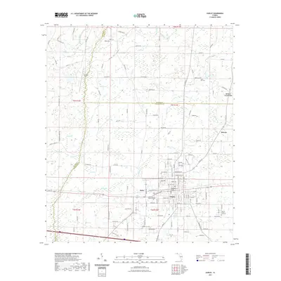 2021 Chipley2021 Print · USGSIn the Florida Panhandle during the early twenty-first century, Chipley stands as a vital crossroads for rail and commerce. Genealogists and local historians can locate Mount Zion Cem, the Washington County Courthouse, and the site of Richter Crossroads.
 - 2024 Map of Redbay, 2024 Print
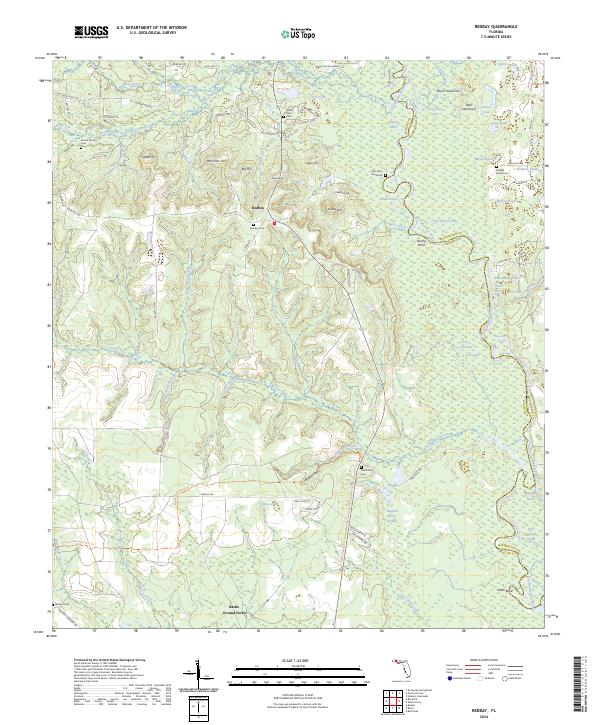 2024 Redbay2024 Print · USGSThe Florida panhandle near the Walton and Washington county line is documented here in the early twenty-first century. Genealogists and local historians can trace family roots through the Sam Story Burial Site, Red Bay Cem, and landmarks like Battle Ground Forks.
 - 2024 Map of Chipley, 2024 Print
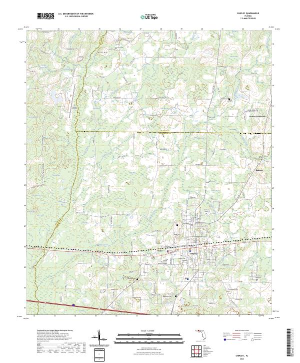 2024 Chipley2024 Print · USGSChipley and its surrounding Panhandle wetlands are captured in the 2020s, showing a landscape defined by old bay terrain and family-named crossroads. Researchers can trace local lineages through several burial sites like Poplar Springs Baptist Church Cem and find early settlements such as Richter Crossroads and Hulaw.
 - 2024 Map of Wausau, 2024 Print
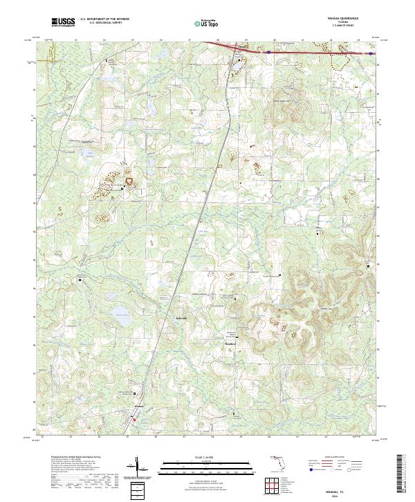 2024 Wausau2024 Print · USGSThe Florida Panhandle near Wausau and Bradford appears here as a land of creek-fed bays and deep-rooted rural communities. Researchers can trace family history through numerous church grounds and cemeteries, including Bells Mill, Shiloh Cem, and Orange Hill.
 - 2024 Map of Fountain, 2024 Print
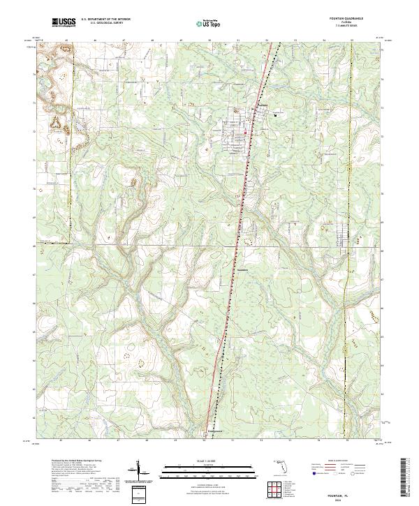 2024 Fountain2024 Print · USGSBay County's rural northern landscape is captured in the modern era, showing the communities of Fountain and Youngstown as they exist today. Researchers can trace local landmarks and watercourses including the Fountain Cem, Bear Pond, and Mitchell Mill Creek.
 - 2024 Map of Gap Lake, 2024 Print
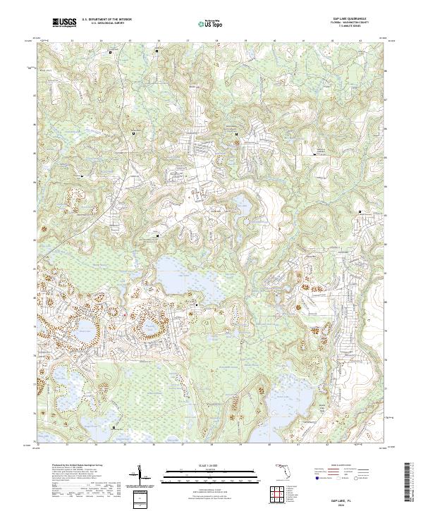 2024 Gap Lake2024 Print · USGSWashington County in the early twenty-first century reveals a landscape of dense residential planning integrated with historic community sites. Genealogists and researchers can locate several key burial grounds, including Gap Pond Church Cem, Deadening Cem, and White Oak Cem.
 - 2024 Map of Alford, 2024 Print
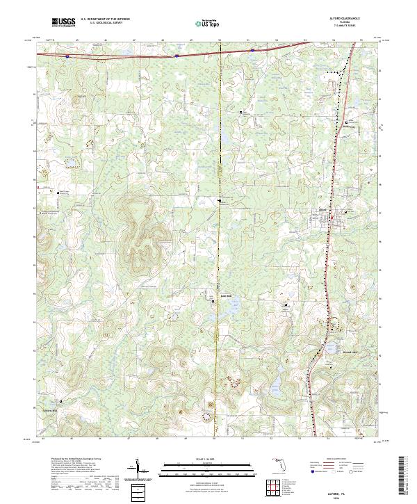 2024 Alford2024 Print · USGSThe Florida panhandle landscape around Jackson and Washington counties comes into focus in this contemporary survey. Local historians can trace family roots at Alford City Cem, explore the wetlands of Steele City Bay, or locate the site of Kent Mill.
Showing maps 1-25 of 38
Top cities of Washington County
- Chipley historical maps
- Vernon historical maps
- Wausau historical maps
- Ebro historical maps
- Caryville historical maps
Frequently asked questions
- What are the different types of historical maps available for Washington County?
- What is the oldest map of Washington County?
- Where can I purchase historical maps of Washington County for my home or office?
- Where can I download high-res historical maps of Washington County?
- Are there historical topographic maps available for Washington County?
- Is there historical aerial imagery available for Washington County?
- Where are historical maps of Washington County sourced from?