Old Maps of Wausau, Florida for Academic Research
Study the evolution of Wausau with 23 high-resolution historic maps. Whether you're teaching, researching, or modeling changes in land use, these maps provide essential visual documentation of urban, environmental, and geographic change.
- Analyze long-term change: Track patterns in development, transportation, and natural features.
- Ideal for environmental or urban studies: Support academic projects with primary historical map data.
- Use in the classroom or lab: Educators and researchers rely on these maps to bring historical context to life.
These maps are a powerful tool for teaching, research, and visualizing how Wausau has changed over the decades.
Wausau, FL maps
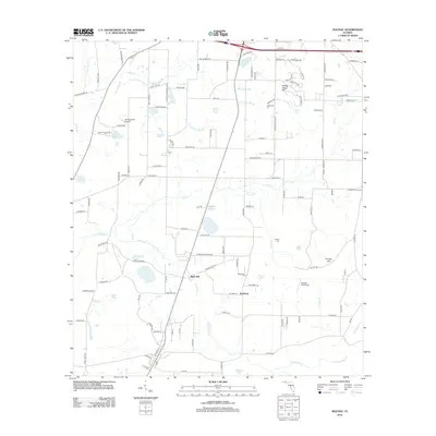
(23)- 1950 Map of Wausau, 1968 Print
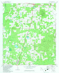
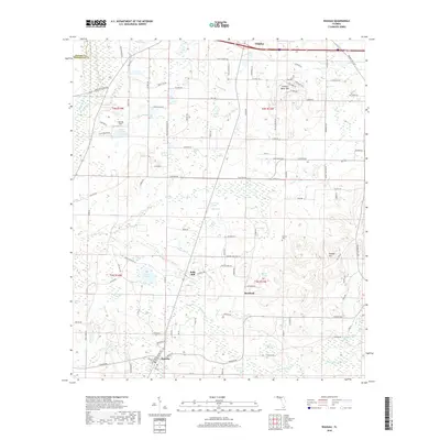
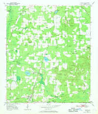 1950 Wausau1968 Print · USGSWashington County during the early post-war years reveals a landscape of dispersed farmsteads and rural schoolhouses. Genealogists can locate family landmarks such as Bells Mill, Orange Hill Corners, and several rural burial grounds like Bradford Cem.
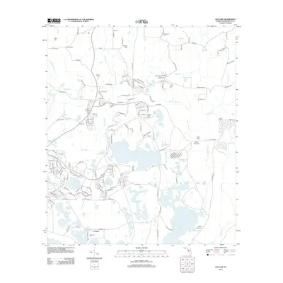
 - 1950 Map of Gap Lake, 1971 Print
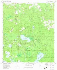
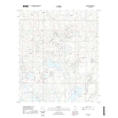
 1950 Gap Lake1971 Print · USGSFlorida's Panhandle is shown here in the early fifties, a landscape of intricate cypress swamps and rural pine woods. Genealogists can trace family landmarks like Deadening Cem, White Oak Ch, and the small settlement of Daniels.
 - 1951 Map of Wausau
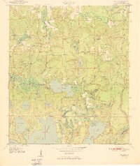
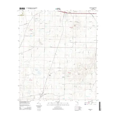
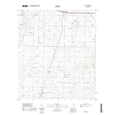
 1951 Wausau1951 Print · USGSFlorida's Panhandle is documented here in the early fifties, showing the rural communities of Washington and Holmes counties before modern development. Researchers can trace ancestral roots through sites like Everett Cem, Oak Grove Sch, and the community of Wausau.
 - 1951 Map of Gap Pond
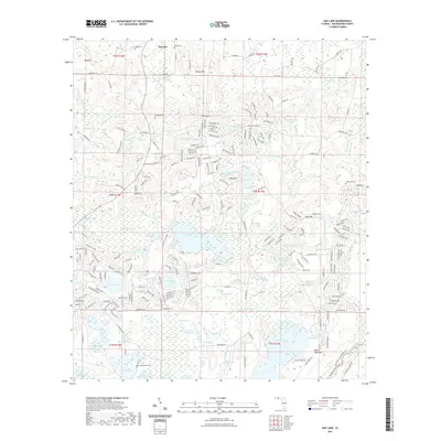
 1951 Gap Pond1951 Print · USGSNorthwest Florida's lake country is captured here in the early fifties, showing a rural landscape of scattered homesteads and pine forests. Genealogists and local historians can locate specific family burial sites like Barfield Cem and Wood Cem, or trace the community life around Gap Pond Ch.
 - 1954 Map of Tallahassee, 1967 Print
 1954 Tallahassee1967 Print · USGSThe Florida Panhandle and South Georgia are captured here during a period of mid-century growth and military expansion. Researchers can trace the development of Panama City, the footprint of Tyndall Air Force Base, and the rail lines of the Atlantic Coast Line.4 unique versions available
 - 1959 Map of Tallahassee
 1959 Tallahassee1959 Print · USGSFlorida's Panhandle and the Big Bend region appear here in the mid-fifties, showing a landscape defined by its great river systems and developing coast. Trace the early layout of Panama City, the expansive Apalachicola National Forest, and the coastal St Marks Lighthouse.
 - 1960 Map of Tallahassee
 1960 Tallahassee1960 Print · USGSThe Florida Panhandle and southern Georgia are captured here in the mid-twentieth century, showing a region defined by its rivers and military installations. Genealogists and historians can trace the growth of Tallahassee or locate coastal landmarks like the St Marks Lighthouse and Tyndall Air Force Base.
 - 1979 Map of Marianna, 1980 Print
 1979 Marianna1980 Print · USGSFlorida's northern panhandle and the neighboring Alabama-Georgia borderlands are captured here in the late seventies. Genealogists and local historians can trace family roots through settlements like Graceville and Cottondale or follow the historic Louisville and Nashville rail lines.2 unique versions available
 - 1982 Map of Wausau, 1983 Print
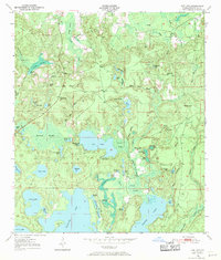
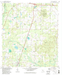
 1982 Wausau1983 Print · USGSIn the early 1980s, the rural border between Holmes and Washington counties was defined by the transition from karst uplands to winding creek bottoms. Genealogists and local historians can trace legacy sites like Everett Cem, Hard Labor Ch, and the community of Orange Hill.
 - 1982 Map of Gap Lake, 1983 Print
 1982 Gap Lake1983 Print · USGSFlorida's Panhandle is captured here in the early eighties as the rural landscape around Wausau began to meet modern residential growth. Genealogists and historians can trace old family burial grounds like Lay Cem and Swindle Cem alongside the waters of GAP LAKE.
 - 1988 Map of Tallahassee
 1988 Tallahassee1988 Print · USGSThe Florida Panhandle and South Georgia are captured here in the late eighties, showing the expansion of the regional highway network and coastal growth. Genealogists and historians can trace rail lines like the Seaboard System Railroad or locate family roots in Blountstown, Graceville, or Crawfordville.2 unique versions available
 - 1994 Map of Gap Lake, 1995 Print
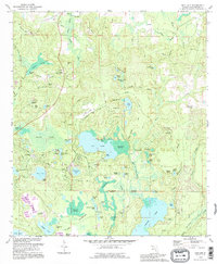 1994 Gap Lake1995 Print · USGSThe Florida Panhandle's lake country is captured here in the mid-nineties, showing the rural landscapes of Washington County. Genealogists can locate several family cemeteries, including Deadening Cem and White Oak Cem, alongside landmarks like Gap Pond Ch.
 - 1994 Map of Wausau, 1998 Print
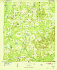
 1994 Wausau1998 Print · USGSWashington County during the late twentieth century reveals a landscape of sinkholes and rural homesteads. Genealogists and local historians can trace legacy sites like Washington Ch, Everett Cem, and the high ground of Falling Waters Hill.
 - 2012 Map of Wausau, 2012 Print
 2012 Wausau2012 Print · USGSCovers Wausau, including Chipley, Bells Mill, and other nearby areas
 - 2012 Map of Gap Lake, 2012 Print
 2012 Gap Lake2012 Print · USGSCovers Wausau, including Grantham, Washington County, and other nearby areas
 - 2015 Map of Gap Lake, 2015 Print
 2015 Gap Lake2015 Print · USGSCovers Wausau, including Grantham, Washington County, and other nearby areas
 - 2015 Map of Wausau, 2015 Print
 2015 Wausau2015 Print · USGSCovers Wausau, including Chipley, Bells Mill, and other nearby areas
 - 2018 Map of Wausau, 2018 Print
 2018 Wausau2018 Print · USGSCovers Wausau, including Chipley, Bells Mill, and other nearby areas
 - 2018 Map of Gap Lake, 2018 Print
 2018 Gap Lake2018 Print · USGSCovers Wausau, including Grantham, Washington County, and other nearby areas
 - 2021 Map of Wausau, 2021 Print
 2021 Wausau2021 Print · USGSCovers Wausau, including Chipley, Bells Mill, and other nearby areas
 - 2021 Map of Gap Lake, 2021 Print
 2021 Gap Lake2021 Print · USGSCovers Wausau, including Grantham, Washington County, and other nearby areas
 - 2024 Map of Wausau, 2024 Print
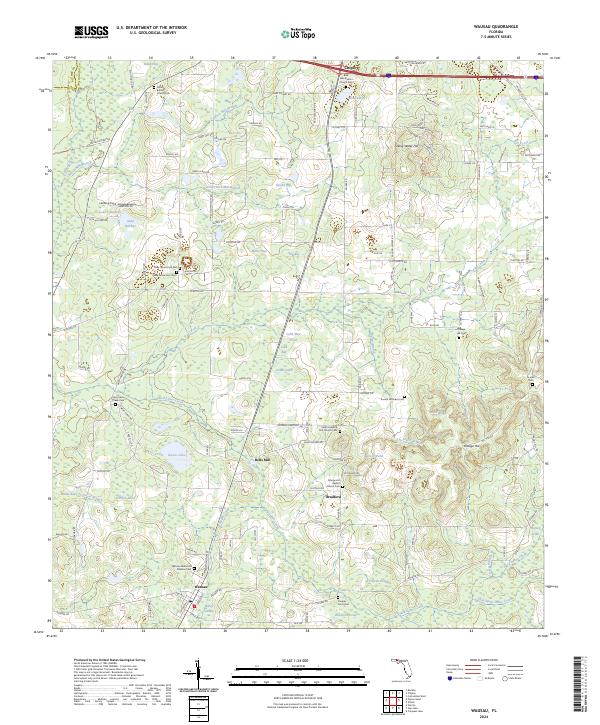 2024 Wausau2024 Print · USGSThe Florida Panhandle near Wausau and Bradford appears here as a land of creek-fed bays and deep-rooted rural communities. Researchers can trace family history through numerous church grounds and cemeteries, including Bells Mill, Shiloh Cem, and Orange Hill.
 - 2024 Map of Gap Lake, 2024 Print
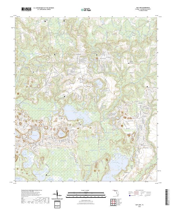 2024 Gap Lake2024 Print · USGSWashington County in the early twenty-first century reveals a landscape of dense residential planning integrated with historic community sites. Genealogists and researchers can locate several key burial grounds, including Gap Pond Church Cem, Deadening Cem, and White Oak Cem.
End of results
Showing maps 1-23 of 23
Top cities near Wausau
- Chipley historical maps
- Bonifay historical maps
- Cottondale historical maps
- Vernon historical maps
- Alford historical maps
- Caryville historical maps
Frequently asked questions
- What are the different types of historical maps available for Wausau?
- What is the oldest map of Wausau?
- Where can I purchase historical maps of Wausau for my home or office?
- Where can I download high-res historical maps of Wausau?
- Are there historical topographic maps available for Wausau?
- Is there historical aerial imagery available for Wausau?
- Where are historical maps of Wausau sourced from?