2000s (21st Century) Maps of Allentown, Georgia
Explore 10 historic maps of Allentown from the 2000s (21st Century). These maps offer a rare glimpse into what life looked like during the 2000s — showing old roads, neighborhoods, homes, and landmarks that have changed or disappeared over time.
Whether you're researching your family's past, planning a metal detecting trip, or studying how Allentown's landscape evolved across the 2000s, these high-resolution maps are a powerful tool for exploring the history of this region.
- Focus on a specific era: All maps on this page are from the 2000s, giving you a focused view of this time period.
- See what’s changed: Compare century-old streets, trails, and buildings to today's modern landscape using overlays and satellite layers.
- Research with precision: Use these maps for genealogy, historical research, land use analysis, or educational projects.
- View, download, or print: Maps are fully viewable online in high resolution, and can be downloaded or printed for your own records.
Start exploring Allentown's history through authentic maps from the 2000s. This is your window into the past.
Allentown, GA maps
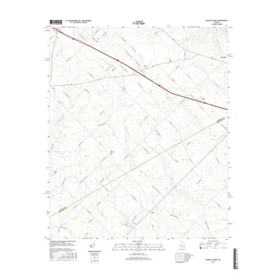
(10)- 2011 Map of Danville West, 2011 Print
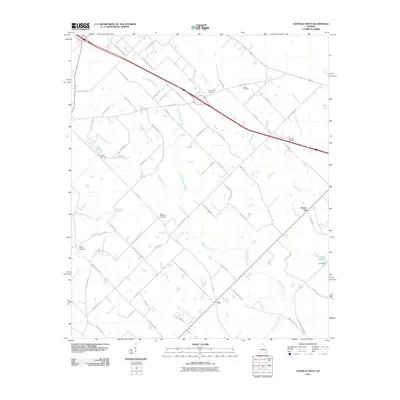 2011 Danville West2011 Print · USGSCovers Allentown, including Danville, Brown Hill, and other nearby areas
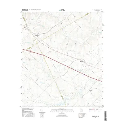
 - 2011 Map of Danville East, 2011 Print
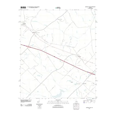 2011 Danville East2011 Print · USGSCovers Allentown, including Danville, Montrose, and other nearby areas
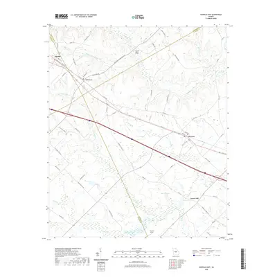
 - 2014 Map of Danville West, 2014 Print
 2014 Danville West2014 Print · USGSCovers Allentown, including Danville, Brown Hill, and other nearby areas
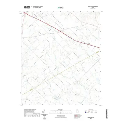
 - 2014 Map of Danville East, 2014 Print
 2014 Danville East2014 Print · USGSCovers Allentown, including Danville, Montrose, and other nearby areas
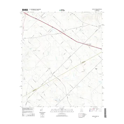
 - 2017 Map of Danville West, 2017 Print
 2017 Danville West2017 Print · USGSCovers Allentown, including Danville, Brown Hill, and other nearby areas
 - 2017 Map of Danville East, 2017 Print
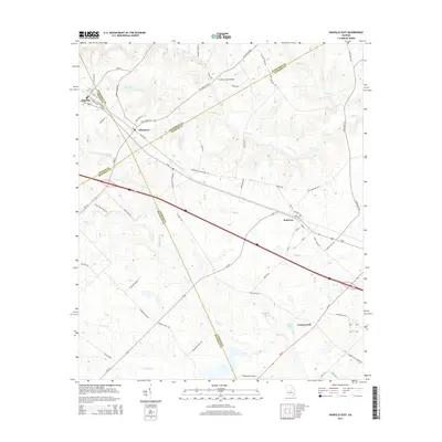
 2017 Danville East2017 Print · USGSCovers Allentown, including Danville, Montrose, and other nearby areas
 - 2020 Map of Danville East, 2020 Print
 2020 Danville East2020 Print · USGSCovers Allentown, including Danville, Montrose, and other nearby areas
 - 2020 Map of Danville West, 2020 Print
 2020 Danville West2020 Print · USGSCovers Allentown, including Danville, Brown Hill, and other nearby areas
 - 2024 Map of Danville East, 2024 Print
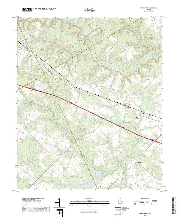 2024 Danville East2024 Print · USGSThe crossroads of four Georgia counties come into view in the 2020s, revealing a landscape of rural townships and winding creek bottoms. Genealogists can trace family connections near Montrose Cem, Macedonia Cem, and the settlement of Laurens Hill.
 - 2024 Map of Danville West, 2024 Print
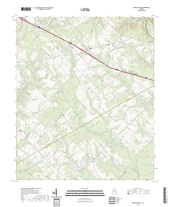 2024 Danville West2024 Print · USGSThe rural landscape of Twiggs and Bleckley Counties comes into focus in this contemporary survey. Genealogists and historians can trace local family lineages through Mount Zion Cem and Lizzy Harold Cem or locate the Danville Airpark.
End of results
Showing maps 1-10 of 10
Top cities near Allentown
- Cochran historical maps
- Chester historical maps
- Jeffersonville historical maps
- Dexter historical maps
- Dudley historical maps
- Irwinton historical maps
See more
Top neighborhoods of Allentown
Frequently asked questions
- What are the different types of historical maps available for Allentown?
- What is the oldest map of Allentown?
- Where can I purchase historical maps of Allentown for my home or office?
- Where can I download high-res historical maps of Allentown?
- Are there historical topographic maps available for Allentown?
- Is there historical aerial imagery available for Allentown?
- Where are historical maps of Allentown sourced from?