2020s Maps of Atkinson County, Georgia
Explore 24 historic maps of Atkinson County from the 2020s. These maps offer a rare glimpse into what life looked like during the 2020s — showing old roads, neighborhoods, homes, and landmarks that have changed or disappeared over time.
Whether you're researching your family's past, planning a metal detecting trip, or studying how Atkinson County's landscape evolved across the 2020s, these high-resolution maps are a powerful tool for exploring the history of this region.
- Focus on a specific era: All maps on this page are from the 2020s, giving you a focused view of this time period.
- See what’s changed: Compare century-old streets, trails, and buildings to today's modern landscape using overlays and satellite layers.
- Research with precision: Use these maps for genealogy, historical research, land use analysis, or educational projects.
- View, download, or print: Maps are fully viewable online in high resolution, and can be downloaded or printed for your own records.
Start exploring Atkinson County's history through authentic maps from the 2020s. This is your window into the past.
Atkinson County, GA maps
(24)- 2020 Map of Mora, 2020 Print
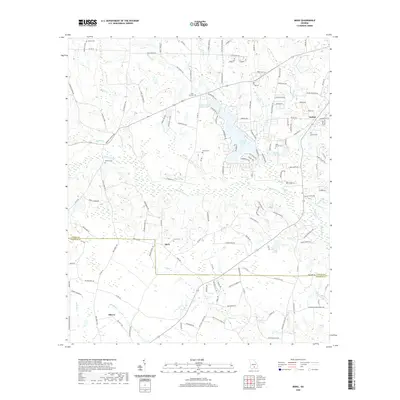 2020 Mora2020 Print · USGSCoastal plain settlements and family-named landmarks define this rural Georgia landscape at the turn of the decade. Researchers can trace family history through numerous burial sites like Saint Illa Cem or explore the banks of the Satilla River near Mora.
 - 2020 Map of Pearson, 2020 Print
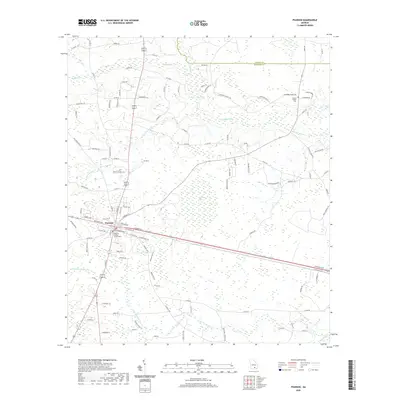 2020 Pearson2020 Print · USGSPearson and the surrounding Georgia pine lands are documented here in recent detail, centered on the Atkinson County Courthouse. Researchers can trace local lineage through rural landmarks like Jowers Chapel Cem and family-named roads along the Satilla River.
 - 2020 Map of Henderson Still, 2020 Print
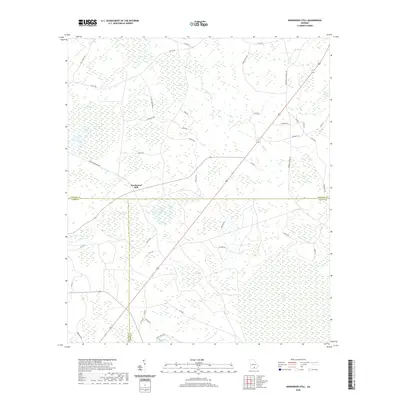 2020 Henderson Still2020 Print · USGSIn the Georgia pine belt of the late 2010s, this area spans the intersection of three counties amid a unique landscape of wetlands and bays. Genealogists and local historians can trace rural family routes like Johnson Settlement Rd and find landmarks such as Henderson Still and Arabia Swamp.
 - 2020 Map of Sandy Bottom, 2020 Print
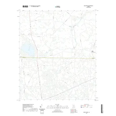 2020 Sandy Bottom2020 Print · USGSThe rural borderlands of Atkinson and Clinch Counties are captured here in the early twenty-first century, showing a landscape shaped by pine woods and vast cypress bays. Genealogists and local historians can trace family-named routes like Joe Nugent Rd or locate Guest Millpond and the settlement at Sandy Bottom.
 - 2020 Map of Kirkland, 2020 Print
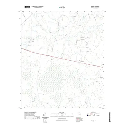 2020 Kirkland2020 Print · USGSAtkinson County in the modern era remains a landscape of deep southern wetlands and quiet settlements. Researchers can trace family history through community landmarks like Kirkland, Roundabout Swamp, and the numerous "bays" including Hog Creek Bay and Still Bay.
 - 2020 Map of Cogdell, 2020 Print
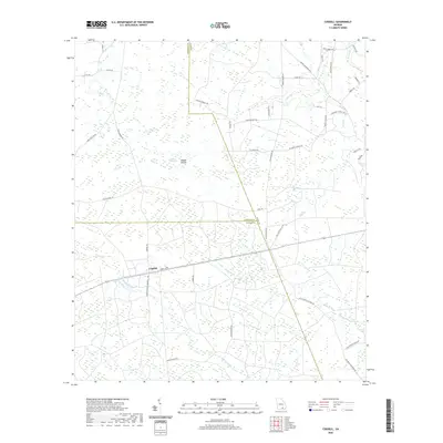 2020 Cogdell2020 Print · USGSThis Georgia lowland landscape in the early twenty-first century centers on the settlement of Cogdell at a triple-county junction. Genealogists and researchers can trace local family landholdings along Leland Bennett Rd and navigate the marshy terrain of Buzzard Bay and Suwannee Cr.
 - 2020 Map of Hastings Fish Pond, 2020 Print
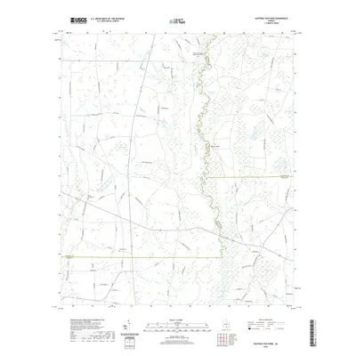 2020 Hastings Fish Pond2020 Print · USGSThe rural borders of Atkinson, Berrien, and Lanier counties are mapped here at the start of the 2020s, dominated by the serpentine Alapaha River. Genealogists and local historians can trace family-named landmarks and centers of community life like Riverside Missionary Baptist Church and the Hendley Cem.
 - 2020 Map of Willacoochee, 2020 Print
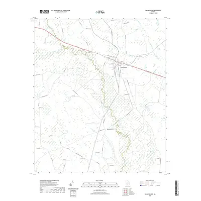 2020 Willacoochee2020 Print · USGSIn the river-veined country of South Georgia, this recent survey captures the confluence of the Willacoochee River and the Alapaha River. Genealogists and local historians can trace the town of Willacoochee, find local burials at Gaskins Cem, and explore the distinct wetlands of Meeting House Bay.
 - 2020 Map of Axson, 2020 Print
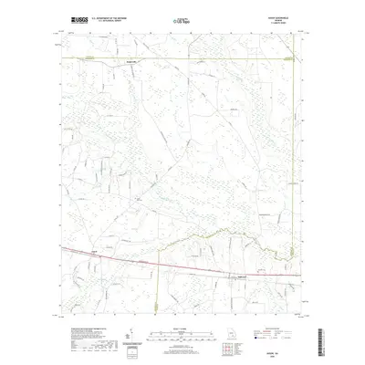 2020 Axson2020 Print · USGSCoastal Plain river basins and rural crossroads define this corner of South Georgia in the early twenty-first century. Genealogists can trace family landmarks like Little Utah Cem and Bennett Cem or locate the settlements of Axson and Millwood.
 - 2020 Map of Lax, 2020 Print
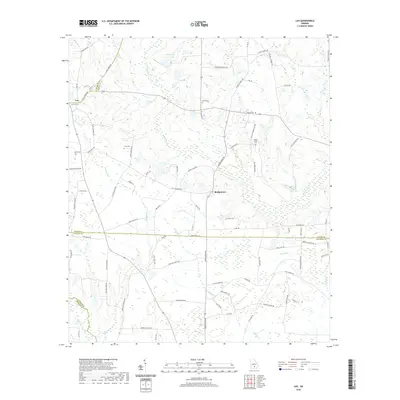 2020 Lax2020 Print · USGSCoastal plain agriculture and family-named landmarks define this south Georgia landscape where four counties meet. Genealogists can trace deep local roots at Lax Cem and Vickers Cem or follow the waters of the Satilla River through Bridgetown.
 - 2020 Map of Douglas South, 2020 Print
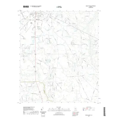 2020 Douglas South2020 Print · USGSSouthern Douglas and the surrounding Coffee County countryside are shown here in the early twenty-first century as the city meets the lowlands of the Satilla River. Genealogists and historians can trace numerous family landmarks, including Ashley Yoemans Cem, Tison Cem, and Harrell Grove Church.
 - 2020 Map of Alapaha, 2020 Print
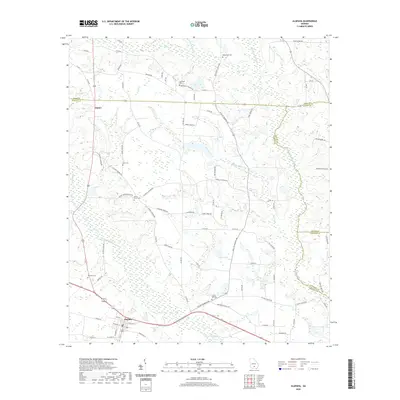 2020 Alapaha2020 Print · USGSBerrien County is captured in the recent decade, showing the agricultural landscape and rural communities surrounding Alapaha. Genealogists can locate family burial sites at Gopher Hill Cemetery and Luke Cemetery or trace landmarks along the Alapaha River.
 - 2024 Map of Axson, 2024 Print
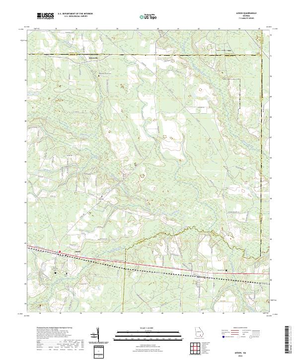 2024 Axson2024 Print · USGSAtkinson and Ware counties are captured here in the contemporary era, centered on the historic crossroads of Axson and the Satilla River wetlands. Genealogists can trace family roots through several local burial sites including Axson Cem, White Cem, and the Little Utah Cem.
 - 2024 Map of Mora, 2024 Print
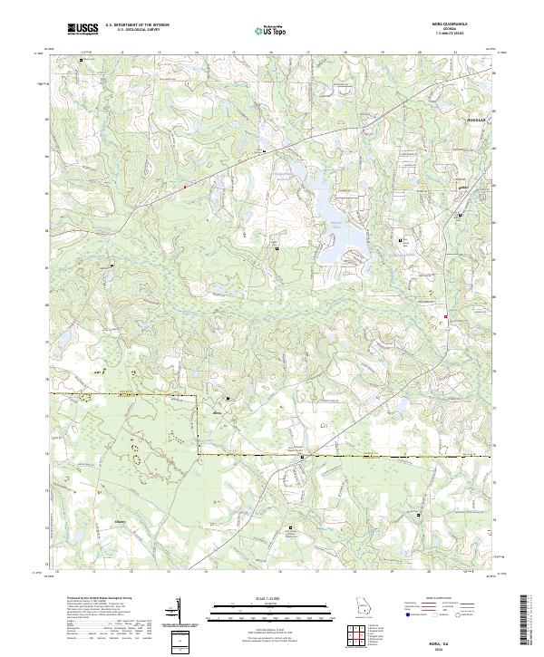 2024 Mora2024 Print · USGSCoastal plain settlements and family burial grounds dot the Coffee and Atkinson county lines in recent years. Researchers can trace the roots of rural communities like Mora and Oberry while locating landmarks such as Arna Primitive Baptist Church and Saint Illa Cem.
 - 2024 Map of Douglas South, 2024 Print
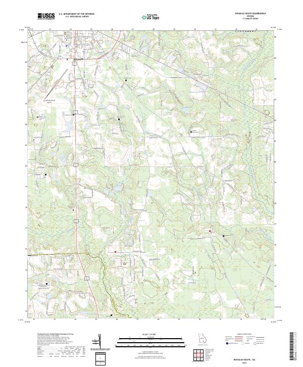 2024 Douglas South2024 Print · USGSThe southern outskirts of Douglas and the Satilla River basin are captured here in the early twenty-first century. Researchers can locate numerous local burial sites like Tanner Cemetery and Ashley Yoemans Cemetery or trace the campus grounds of South Georgia State College.
 - 2024 Map of Cogdell, 2024 Print
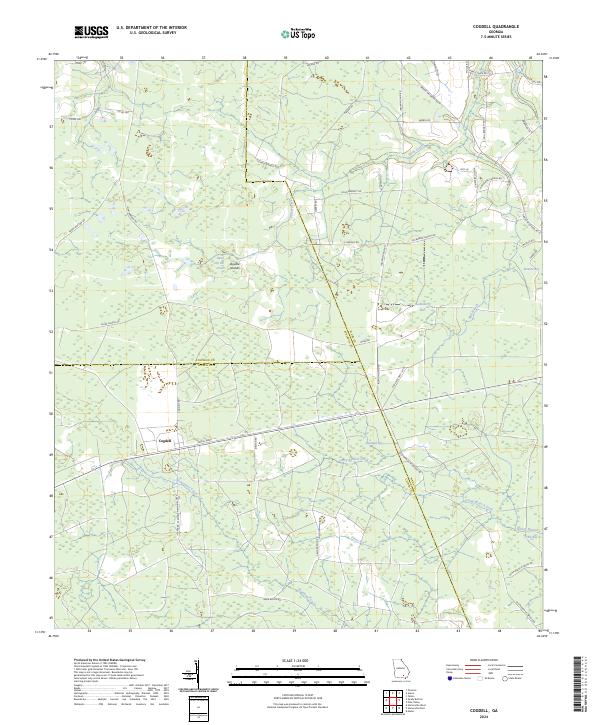 2024 Cogdell2024 Print · USGSThe marshy flatwoods of Atkinson and Clinch Counties are shown in the modern era, revealing a landscape of large wetland basins and rural crossroads. Researchers can trace family-named routes like Jessee Booth Rd and explore the geography of Cogdell and Huckleberry Bay.
 - 2024 Map of Hastings Fish Pond, 2024 Print
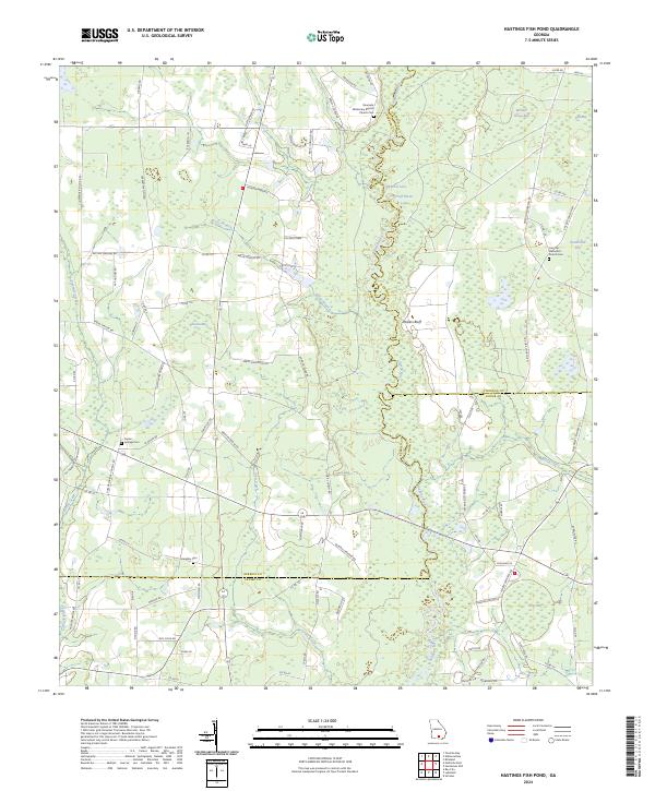 2024 Hastings Fish Pond2024 Print · USGSThe Alapaha River corridor between Berrien and Atkinson counties reveals a landscape of family farms and unique wetlands in this recent survey. Researchers can trace rural lineages at Riverside Missionary Baptist Church Cem or locate the historic Vickers Farm.
 - 2024 Map of Kirkland, 2024 Print
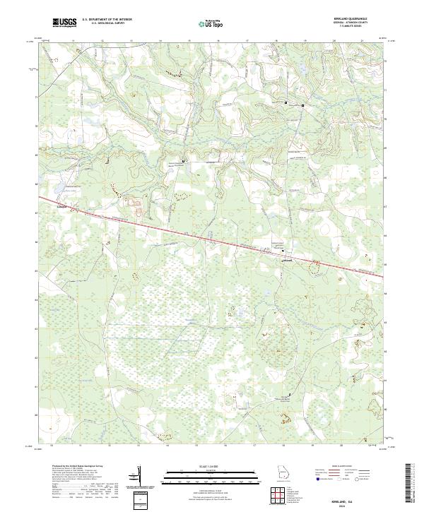 2024 Kirkland2024 Print · USGSThe community of Kirkland and the settlement at Leliaton are captured here during the 2020s, set against the vast wetlands of Atkinson County. Researchers can locate family landmarks and rural congregations including Oak Grove Cem and the Kirkland United Methodist Church Cem.
 - 2024 Map of Pearson, 2024 Print
 2024 Pearson2024 Print · USGSPearson and the surrounding Atkinson County countryside are captured here in the early twenty-first century, showing the town at its modern extent. Researchers can trace local lineage at Pearson Cem, Jowers Chapel Cem, and the Atkinson County Courthouse.
 - 2024 Map of Lax, 2024 Print
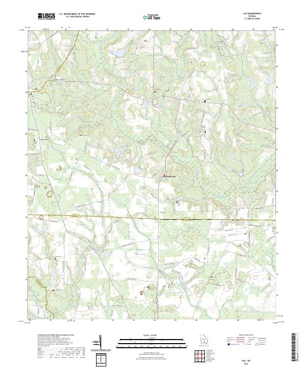 2024 Lax2024 Print · USGSCoastal plain agriculture and family-named homesteads define this Coffee County region in the early twenty-first century. Researchers can trace ancestral lines through the numerous burial sites such as Union Cem, Vickers Cem, and the small settlement of Bridgetown.
 - 2024 Map of Alapaha, 2024 Print
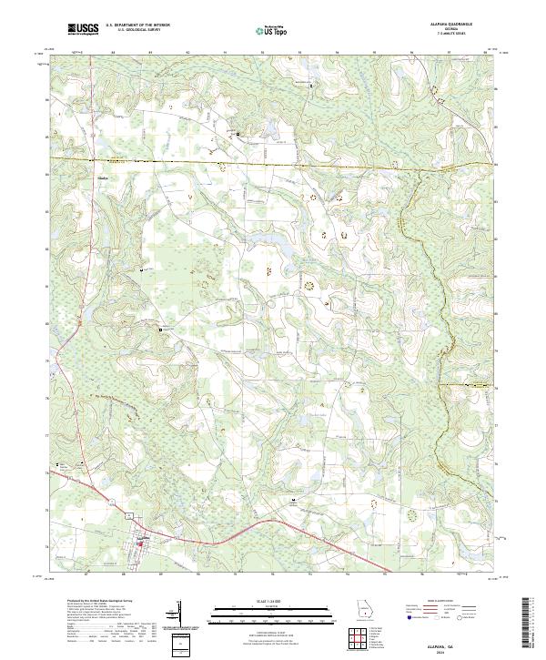 2024 Alapaha2024 Print · USGSAlapaha and the river forks of southern Georgia are documented here in recent detail. Researchers can trace family history through numerous landmarks like West Fletcher Cem, Springhill Church, and the winding path of the Willacoochee River.
 - 2024 Map of Willacoochee, 2024 Print
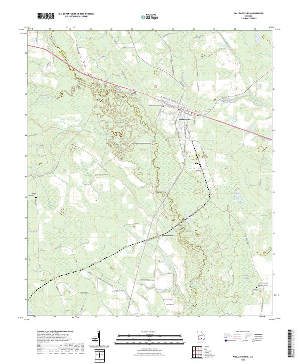 2024 Willacoochee2024 Print · USGSAtkinson and Berrien counties meet at the confluence of the Alapaha and Willacoochee rivers in this recent Georgia survey. Genealogists can trace local roots at the Springhead United Methodist Church and the William Gaskins Cem.
 - 2024 Map of Henderson Still, 2024 Print
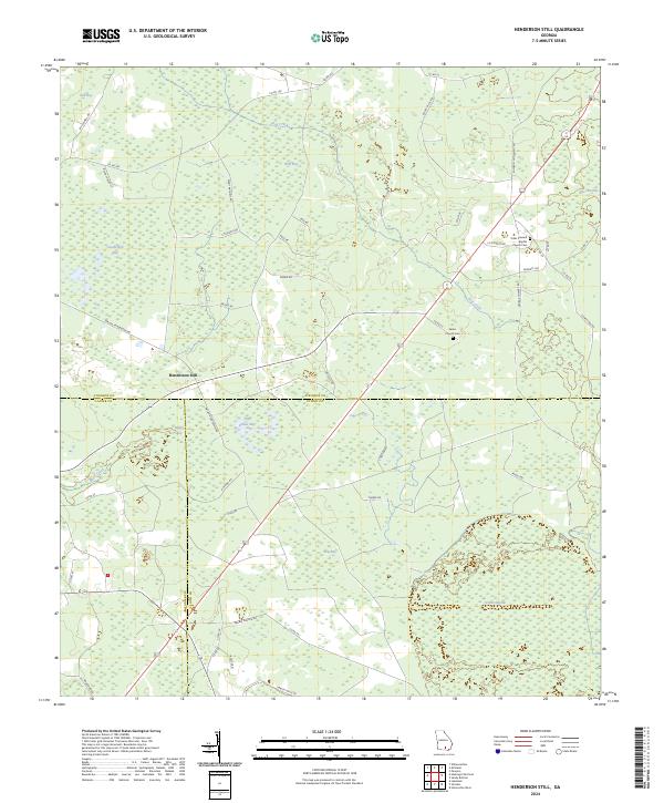 2024 Henderson Still2024 Print · USGSThe rural borderlands of Atkinson, Clinch, and Lanier counties are documented here in the modern era. Researchers can locate family history at Salem Church Cem or trace the unique geography of Fifty Dollar Bay and the extensive Arabia Swamp.
 - 2024 Map of Sandy Bottom, 2024 Print
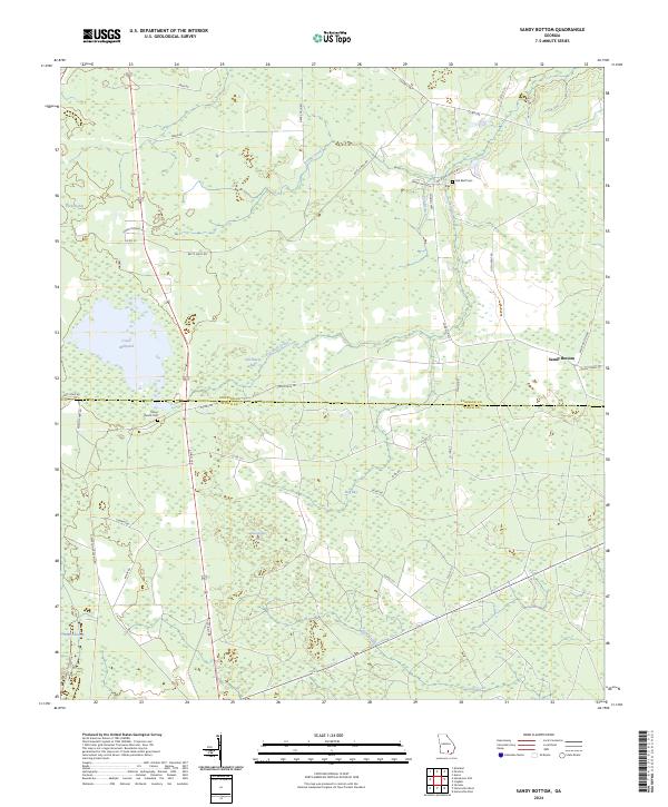 2024 Sandy Bottom2024 Print · USGSThe borderlands of Atkinson and Clinch County are captured in this recent survey of southern Georgia's wetlands and rural settlements. Researchers can trace local lineage through Red Bluff Cem or follow the historic path of Stagecoach Rd past Old Ninety Bay.
End of results
Showing maps 1-24 of 24
Top cities of Atkinson County
Frequently asked questions
- What are the different types of historical maps available for Atkinson County?
- What is the oldest map of Atkinson County?
- Where can I purchase historical maps of Atkinson County for my home or office?
- Where can I download high-res historical maps of Atkinson County?
- Are there historical topographic maps available for Atkinson County?
- Is there historical aerial imagery available for Atkinson County?
- Where are historical maps of Atkinson County sourced from?