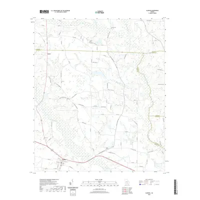
2020 Map of Alapaha
USGS Topo · Published 2020About this map
Alapaha sits at the southern edge of this landscape where the Alapaha River bends through the South Georgia coastal plain. This 2020 survey records a rural geography defined by its cemeteries and family-named landmarks, many tied to small community centers like Gladys. The terrain is etched by drainage systems including Little Brushy Cr, Mill Creek, and Reedy Cr, which feed into the primary river corridor. Genealogy and local history researchers will find a high density of burial sites distributed across the area, from Gopher Hill Cem and Springhill Cem to the grounds of Bethlehem Church and Mount Paron Church. The map also details numerous country roads, such as Wycliff Roberts Rd and Obie Griffin Rd, which connect the scattered homesteads and small agricultural tracts characteristic of this part of Berrien County.
Find a feature on this map
86 named features on this map. Tap any name to fly to it.
Don’t see what you’re looking for? This feature index may not catch every label — zoom into the map to look around manually.
Map Details
Editions of this 2020 Alapaha Map
This is the sole edition of this map. No revisions or reprints were ever made.
Other maps of this area

1953 · Waycross
USGS Topo · 1:250,000

1958 · Waycross
USGS Topo · 1:250,000

1972 · Tenmile Bay
USGS Topo · 1:24,000

1972 · Willacoochee
USGS Topo · 1:24,000

1972 · Lax
USGS Topo · 1:24,000

1972 · Ambrose
USGS Topo · 1:24,000

1972 · Ocilla East
USGS Topo · 1:24,000

1973 · Ocilla West
USGS Topo · 1:24,000

1973 · Sapps Lake
USGS Topo · 1:24,000

1973 · Enigma
USGS Topo · 1:24,000