Old Maps of Baker County, Georgia for Genealogy
Trace your family roots with 90 historic maps of Baker County. These high-res maps reveal old neighborhoods, homesites, landmarks, and streets — helping you uncover where your ancestors lived and how the area evolved over time.
- Explore historic neighborhoods: Identify where your relatives may have lived in the 1800s or 1900s.
- Compare maps over time: Trace the changes in streets, buildings, and landmarks for multi-generational research.
- Perfect for genealogy & ancestry research: Used by family historians and researchers to map out lineage and migration.
These maps are an incredible resource for exploring your personal connection to Baker County's past.
Baker County, GA maps
(90)- 1953 Map of Dothan, 1966 Print
 1953 Dothan1966 Print · USGSSoutheast Alabama and Southwest Georgia are captured during a period of massive hydraulic and military expansion in the mid-fifties. Genealogists and historians can trace rural landmarks like Antioch Church and School, the Andrew Jackson Monument, and the early footprint of Fort Rucker Military Reservation.3 unique versions available
 - 1954 Map of Dothan
 1954 Dothan1954 Print · USGSSoutheast Alabama and Southwest Georgia are seen here in the mid-fifties, during a decade of military expansion and rural transition. Genealogists can trace the location of country schools like Little Zion School or the grounds of Kolomoki Mounds State Park.
 - 1955 Map of Dothan
 1955 Dothan1955 Print · USGSSoutheast Alabama and Southwest Georgia are captured here in the mid-fifties, showing a landscape of river-port history and growing military bases. Researchers can trace rural life via the Andrew Jackson Monument, Bauxite mines, and the Central of Georgia RR.
 - 1956 Map of Baconton, 1957 Print
 1956 Baconton1957 Print · USGSMitchell and Dougherty counties in the mid-fifties are defined by the winding Flint River and a dense network of rural rail lines. Researchers can trace genealogical roots through dozens of local landmarks like Noahs Ark Ch, Hard Up Cem, and Sale City.2 unique versions available
 - 1956 Map of Newton, 1958 Print
 1956 Newton1958 Print · USGSBaker County in the mid-fifties is captured here as a landscape of rural schoolhouses and riverfront commerce. Researchers can locate specific family sites and community centers like New Salem Sch, Travelers Rest, and Mt Airy.
 - 1971 Map of Hopeful, 1974 Print
 1971 Hopeful1974 Print · USGSSouthwestern Georgia's river country is captured here in the early seventies, centered on the Flint River and its rural wetlands. Researchers can trace the community around Hopeful, its Hopeful Lookout Tower, and churches like Green Grove Ch.2 unique versions available
 - 1971 Map of Branchville, 1974 Print
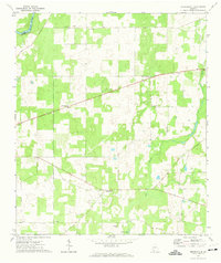 1971 Branchville1974 Print · USGSMitchell County in the early seventies remained a quiet landscape of rural crossroads and river bottomlands. Researchers can trace family sites and community hubs like Branchville, Turkey Pen Cem, and several historic country churches.
 - 1974 Map of Baconton South, 1976 Print
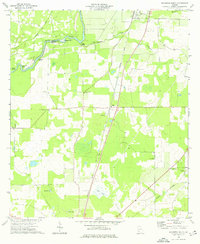 1974 Baconton South1976 Print · USGSSouth of Baconton in the mid-1970s, this Mitchell County landscape shows a well-defined rural network of rail lines and country churches. Genealogists and historians can trace local family landmarks and burial sites like China Grove Cem, St Mary Ch, and the settlement at Duffee.
 - 1974 Map of Damascus, 1976 Print
 1974 Damascus1976 Print · USGSIn the mid-seventies, this portion of Early County centered on the town of Damascus and the Seaboard Coast Line railroad. Local researchers can trace family landmarks like Billings Cem, Gross Cem, and the historic site of Old Damascus.
 - 1974 Map of Arlington, 1976 Print
 1974 Arlington1976 Print · USGSArlington served as a vital rail junction in Southwest Georgia during the mid-seventies, where two major lines crossed amidst a landscape of timber and agriculture. Researchers can trace rural lineages through sites like Timmons Cem, Nicholasville, and Kiokee Ch.
 - 1974 Map of Cooktown, 1976 Print
 1974 Cooktown1976 Print · USGSMiller and Baker counties in the mid-seventies remained a rural landscape of scattered homesteads and community-centered churches. Researchers can trace family ties through landmarks like Cooktown, Bellview, and local sites such as Kelly Cem and Kimbell Chapel.
 - 1974 Map of Elmodel, 1976 Print
 1974 Elmodel1976 Print · USGSBaker County in the mid-seventies is a landscape of limestone sinks and rural crossroads. Trace old church sites like New Salem Ch and settlements like Hawkinstown or Elmodel set among dozens of named water bodies like Cypress Pond.
 - 1974 Map of Steinham Store, 1976 Print
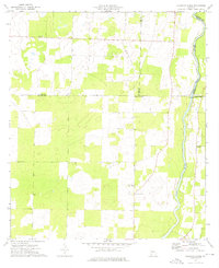 1974 Steinham Store1976 Print · USGSThe rural Georgia backcountry in the mid-seventies is defined here by the winding Flint River and a network of quiet country crossroads. Genealogists can trace family connections to several local congregations like First Macedonia Ch and the landmark Steinham Store.
 - 1974 Map of Newton, 1976 Print
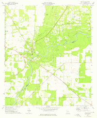 1974 Newton1976 Print · USGSThe riverfront town of Newton and the winding Flint River define this Baker County landscape in the mid-1970s. Local historians can trace established community sites such as White Corner Ch, County High Sch, and the uniquely named Baptism Pond.2 unique versions available
 - 1974 Map of Leary, 1976 Print
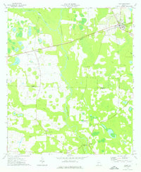 1974 Leary1976 Print · USGSCalhoun and Baker Counties are shown here in the mid-1970s, defined by the winding course of Ichawaynochaway Creek. Researchers can trace the Central of Georgia rail line connecting Leary and Williamsburg, or locate rural landmarks like Bethel Cem and Iveys Mill.
 - 1974 Map of Bermuda, 1976 Print
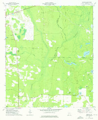 1974 Bermuda1976 Print · USGSSouthwest Georgia's riverine borderlands are captured here in the mid-1970s, showcasing the rural landscapes where Baker, Calhoun, and Dougherty counties meet. Researchers can locate family landmarks like Mt Pleasant Ch or trace the Central of Georgia rail line past Bermuda.
 - 1974 Map of Red Store Crossroads, 1976 Print
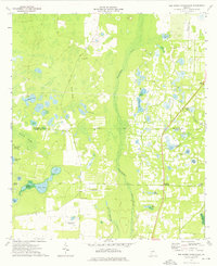 1974 Red Store Crossroads1976 Print · USGSSouthwest Georgia in the mid-1970s was a landscape of cypress swamps and quiet rural hubs like Red Store Crossroads. Genealogists and historians can trace family locations along Tarva Road or near landmarks like Chapel Hill Ch and Whitehill Cem.
 - 1974 Map of Bethany, 1976 Print
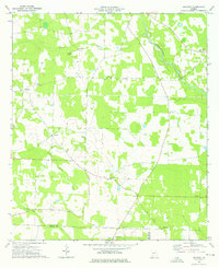 1974 Bethany1976 Print · USGSThe rural borderlands of Baker and Miller counties are captured here in the mid-1970s, showcasing a landscape of small agricultural settlements and creek drainages. Genealogists can trace family footprints through sites like Bethany, Oak Grove Cem, and Baker Academy.
 - 1974 Map of Baconton North, 1976 Print
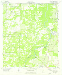 1974 Baconton North1976 Print · USGSThe Flint River basin in the mid-1970s reveals a landscape of river-bend settlements and deep-rooted rural communities. Family historians can trace landmarks like Hard Up Cem, Pleasant Grove Ch, and the rail corridor serving Putney and Baconton.2 unique versions available
 - 1981 Map of Camilla, 1982 Print
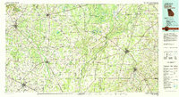 1981 Camilla1982 Print · USGSSouthwest Georgia in the early 1980s is defined by the winding Flint River and the ancient legacy of Kolomoki Mounds State Park. Researchers can trace the agricultural and rail economy through junctions like Blakely, Pelham, and the rail lines of the Central of Georgia.2 unique versions available
 - 2011 Map of Steadhams Store, 2011 Print
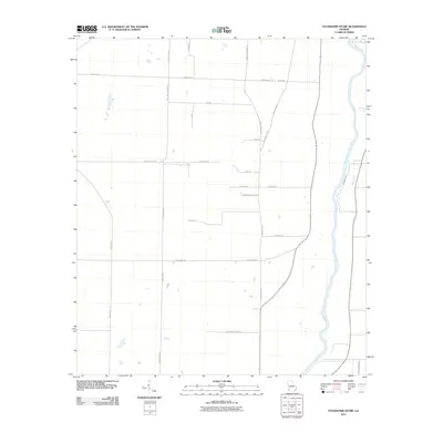 2011 Steadhams Store2011 Print · USGSDecatur County near the river at the start of the 2010s shows a landscape of rural family homesteads and agricultural routes. Trace the reach of the Flint River and locate specific local landmarks along Stoney Lonesome Rd and Cooktown Rd.
 - 2011 Map of Leary, 2011 Print
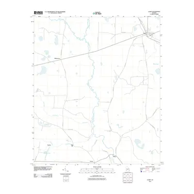 2011 Leary2011 Print · USGSSouthwest Georgia's agricultural character is preserved here in the early twenty-first century as rural roads bridge the winding creeks. Genealogists and local historians can locate Leary City Cemetery and trace old family routes between Iveys Mill, Williamsburg, and Milford.
 - 2011 Map of Baconton South, 2011 Print
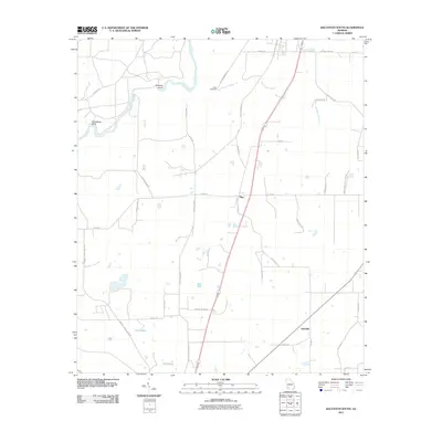 2011 Baconton South2011 Print · USGSMitchell County, Georgia, is captured here in the early twenty-first century, showcasing its river-fed agricultural lands. Researchers can trace family sites near Creek Cemetery or locate old crossings like Prossers Island and the settlement at Adelaide.
 - 2011 Map of Cooktown, 2011 Print
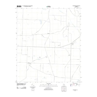 2011 Cooktown2011 Print · USGSMiller County, Georgia, is documented here in the early 2000s, showing a rural landscape defined by family-named roads and quiet crossroads. Genealogists can trace local roots through several burial grounds including Cooks Union Cemetery, Bellview Cemetery, and Davis Cemetery.
 - 2011 Map of Baconton North, 2011 Print
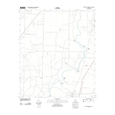 2011 Baconton North2011 Print · USGSDougherty and Mitchell Counties are captured here in the early twenty-first century as the Flint River meanders through a landscape of rural roads and quiet settlements. Researchers can locate family landmarks such as Hard Up Cemetery, the Baconton Post Office, and the riverside community of DeWitt.
Showing maps 1-25 of 90
Top cities of Baker County
Frequently asked questions
- What are the different types of historical maps available for Baker County?
- What is the oldest map of Baker County?
- Where can I purchase historical maps of Baker County for my home or office?
- Where can I download high-res historical maps of Baker County?
- Are there historical topographic maps available for Baker County?
- Is there historical aerial imagery available for Baker County?
- Where are historical maps of Baker County sourced from?