2020s Maps of Baker County, Georgia
Explore 28 historic maps of Baker County from the 2020s. These maps offer a rare glimpse into what life looked like during the 2020s — showing old roads, neighborhoods, homes, and landmarks that have changed or disappeared over time.
Whether you're researching your family's past, planning a metal detecting trip, or studying how Baker County's landscape evolved across the 2020s, these high-resolution maps are a powerful tool for exploring the history of this region.
- Focus on a specific era: All maps on this page are from the 2020s, giving you a focused view of this time period.
- See what’s changed: Compare century-old streets, trails, and buildings to today's modern landscape using overlays and satellite layers.
- Research with precision: Use these maps for genealogy, historical research, land use analysis, or educational projects.
- View, download, or print: Maps are fully viewable online in high resolution, and can be downloaded or printed for your own records.
Start exploring Baker County's history through authentic maps from the 2020s. This is your window into the past.
Baker County, GA maps
(28)- 2020 Map of Bermuda, 2020 Print
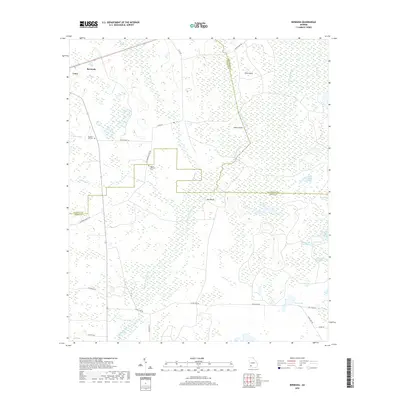 2020 Bermuda2020 Print · USGSThe rural borderlands of Calhoun and Baker counties are documented here in 2020, centered on the quiet communities of Bermuda and Leary. Researchers can trace local landmarks like Mt Pleasant Ch and find several family-history sites, including Pleasant Hill Cem and Mount Pleasant Cem.
 - 2020 Map of Arlington, 2020 Print
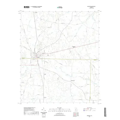 2020 Arlington2020 Print · USGSThe borderlands of Calhoun, Early, and Baker counties are captured here in the early twenty-first century, centered on the crossroads town of Arlington. Researchers can trace rural settlement patterns through sites like Timmons Cem, Sheffield Millpond, and Rowena.
 - 2020 Map of Baconton North, 2020 Print
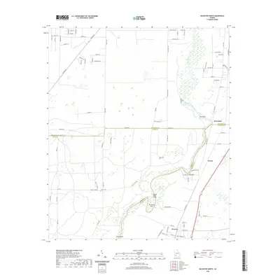 2020 Baconton North2020 Print · USGSThe Flint River corridor comes into sharp focus during the 2020s as it meanders through the Georgia coastal plain near the Baker and Mitchell county lines. Local historians can trace family roots through rural landmarks like Hard Up Cem, Miller Springs, and the town of Baconton.
 - 2020 Map of Elmodel, 2020 Print
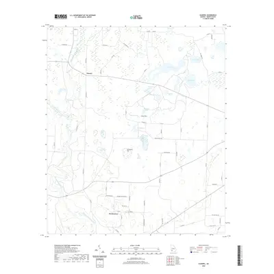 2020 Elmodel2020 Print · USGSBaker County at the start of the 2020s shows a landscape deeply tied to its water and agricultural roots. Local historians can trace the creek-side settlements of Hawkinstown and Elmodel, or locate distinct sites like Baptizing Pond and Grassy Flat.
 - 2020 Map of Bethany, 2020 Print
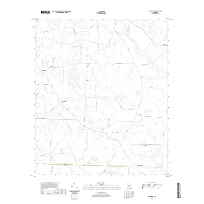 2020 Bethany2020 Print · USGSSouthwest Georgia's rural character is preserved in this modern survey of the Baker and Miller County border. Genealogists can locate several family landmarks and burial sites like Stephen Bush Cem, Oak Grove Cem, and the settlement of Bethany.
 - 2020 Map of Damascus, 2020 Print
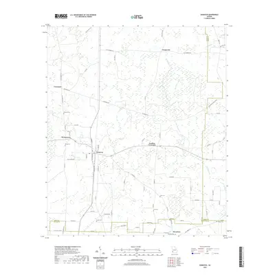 2020 Damascus2020 Print · USGSThe rural agricultural lands of Early County are captured here in the contemporary era, centered on the historic hub of Damascus. Genealogists and historians can trace family roots through numerous local burial grounds such as Gordon Cem, Gross Cem, and Macedonia Cem.
 - 2020 Map of Red Store Crossroads, 2020 Print
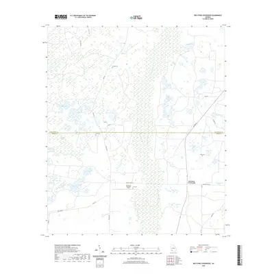 2020 Red Store Crossroads2020 Print · USGSCrossing the Baker and Dougherty County line in the late 2010s, this area reveals a landscape deeply defined by its wetlands and rural plantations. Researchers can trace family history at Trinity Cem or locate the sprawling grounds of the Pinebloom Plantation Airport.
 - 2020 Map of Leary, 2020 Print
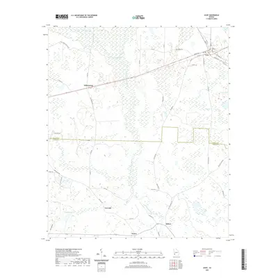 2020 Leary2020 Print · USGSCoastal Plain wetlands and small rural settlements define this corner of Georgia in the early twenty-first century. Researchers can trace the layout of Leary, locate the Leary City Cem, and follow the banks of Ichawaynochaway Creek.
 - 2020 Map of Hopeful, 2020 Print
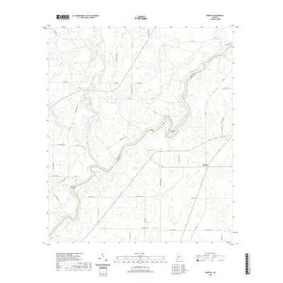 2020 Hopeful2020 Print · USGSThe rural riverlands along the Baker and Mitchell county line are captured here as they appeared in 2020. Local researchers can trace old family routes such as Hoggard Mill Rd and explore the winding Flint River at Horseshoe Bend.
 - 2020 Map of Steadhams Store, 2020 Print
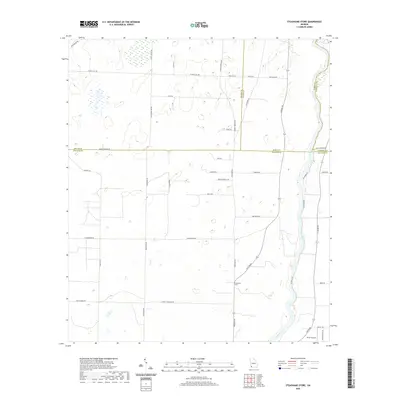 2020 Steadhams Store2020 Print · USGSDecatur County is captured here in the early twenty-first century, showing a rural landscape defined by the Flint River. Genealogists can trace family land via roads like Casey Carter Rd and Robinson Wells Rd near Steadhams Store.
 - 2020 Map of Newton, 2020 Print
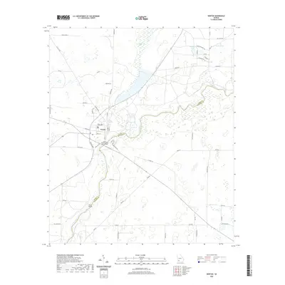 2020 Newton2020 Print · USGSNewton and the surrounding Baker County farmland are shown here in the contemporary era, centered on the Flint River corridor. Researchers can locate the Baker County Courthouse and trace local landmarks like Wildcat Spring or the Sister Islands.
 - 2020 Map of Baconton South, 2020 Print
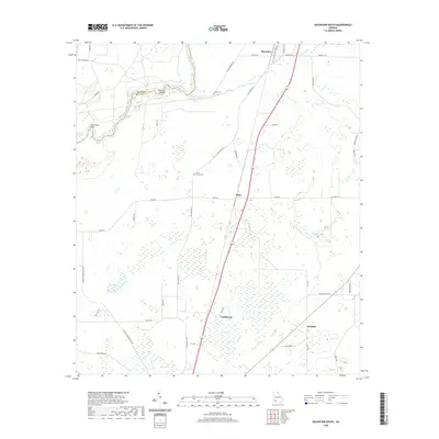 2020 Baconton South2020 Print · USGSMitchell County in the early twenty-first century remains defined by its relationship with the Flint River and its rural road network. Genealogists and local historians can trace the vicinity of Camilla and Baconton, finding landmarks like China Grove Cem and Wethington Slough.
 - 2020 Map of Cooktown, 2020 Print
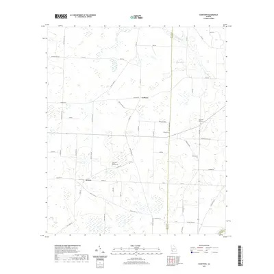 2020 Cooktown2020 Print · USGSMiller and Baker counties maintain a strong rural character in this recent survey of Southwest Georgia. Researchers can trace family history through numerous burial sites and namesake roads like Cooks Union United Methodist Cem, Bellview Cem, and Johnny Freeman Rd.
 - 2020 Map of Branchville, 2020 Print
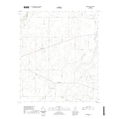 2020 Branchville2020 Print · USGSMitchell County communities appear in the modern era as agricultural and geological patterns converge near the Flint River. Genealogists and local historians can trace family sites at Turkey Pen Cem and explore the rural layout of Branchville and Greenwood.
 - 2024 Map of Arlington, 2024 Print
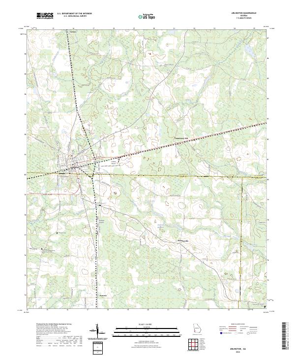 2024 Arlington2024 Print · USGSArlington sits at the junction of three Georgia counties in this modern-era survey of Southwest Georgia's agricultural heartland. Genealogists and local historians can locate several family and community landmarks, including Oak Grove Cem, Sheffield Millpond, and Rowena.
 - 2024 Map of Newton, 2024 Print
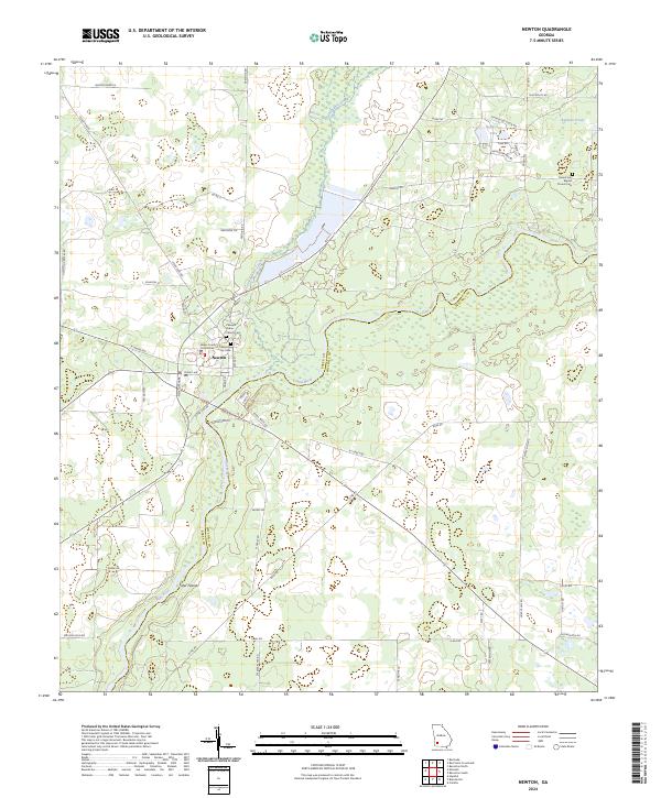 2024 Newton2024 Print · USGSNewton and the surrounding Baker County countryside are shown in detail here just as the modern riverfront begins to evolve. Researchers can trace family history at the Newton City Cem, locate the Baker County Courthouse, or explore the banks of the Flint River and Sister Islands.
 - 2024 Map of Hopeful, 2024 Print
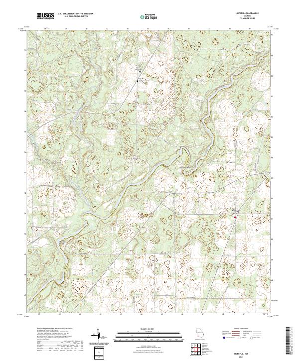 2024 Hopeful2024 Print · USGSThe rural landscape of southwest Georgia is preserved in this recent survey of the area around Hopeful. Researchers can trace family history at Thankful Baptist Church Cem or locate river landmarks like Horseshoe Bend and Hell Gate Shoals along the Flint River.
 - 2024 Map of Branchville, 2024 Print
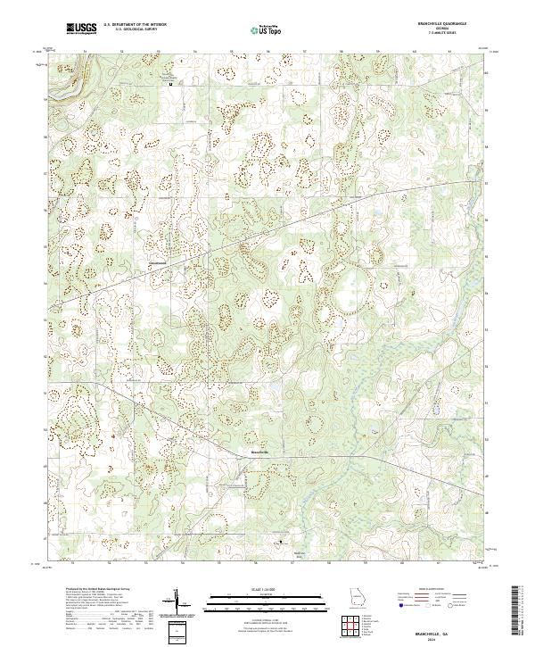 2024 Branchville2024 Print · USGSMitchell County settlement patterns are detailed in this contemporary survey of the rural Georgia landscape. Genealogists can locate family landmarks such as Turkey Pen Cem, Mount Zion Missionary Baptist Church, and the river crossing at Bagg's Ferry Rd.
 - 2024 Map of Leary, 2024 Print
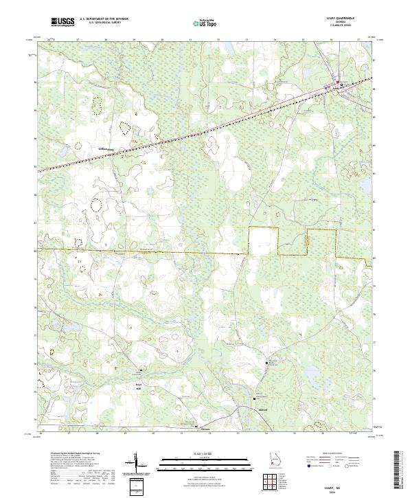 2024 Leary2024 Print · USGSAgricultural lands and creek-side settlements define this corner of Calhoun and Baker Counties in the modern era. Researchers can trace local lineage through several documented burial grounds, such as Bethel Church Cem, or locate the historic site of Iveys Mill along the water.
 - 2024 Map of Cooktown, 2024 Print
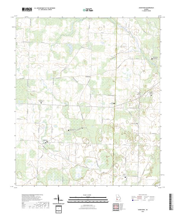 2024 Cooktown2024 Print · USGSSouthwest Georgia agriculture and rural life are documented here as of 2024, centered on the Miller and Baker County line. Genealogists can trace family names at Davis Cem, Donley Cem, and the Colquitt Mennonite Church Cem.
 - 2024 Map of Baconton North, 2024 Print
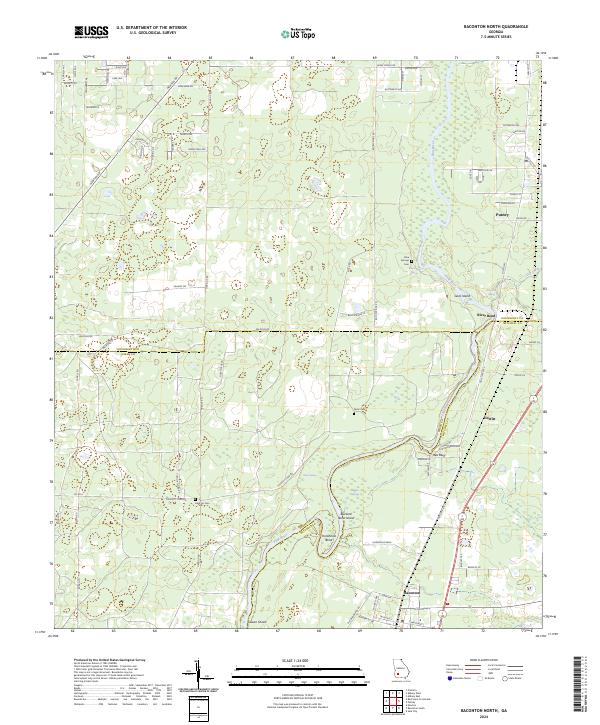 2024 Baconton North2024 Print · USGSSouthwest Georgia's river country comes into focus in this contemporary survey of the Dougherty and Mitchell county border. Genealogists and local historians can locate family burial sites like Hard Up Cem and trace the winding course of the Flint River past Red Bluff and Putney.
 - 2024 Map of Baconton South, 2024 Print
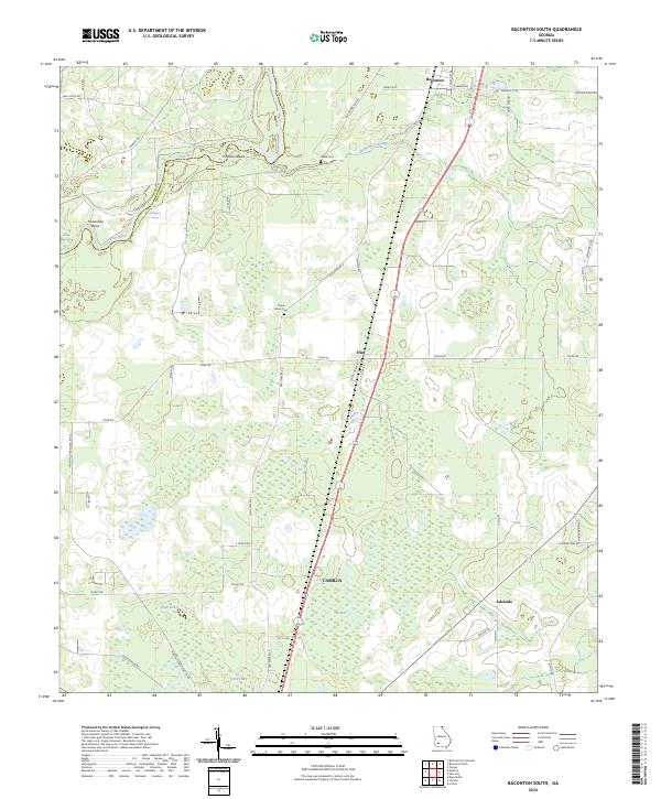 2024 Baconton South2024 Print · USGSMitchell County, Georgia, is captured here in its current rural configuration, where the Flint River meets fertile farmland. Genealogists and local researchers can trace family landmarks like China Grove Cem or follow the old tracks through Baconton and Adelaide.
 - 2024 Map of Elmodel, 2024 Print
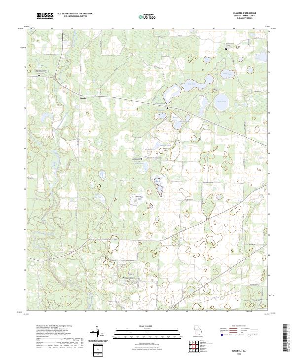 2024 Elmodel2024 Print · USGSBaker County's rural crossroads and water-pocketed landscape are documented here in the modern era. Genealogists can locate family sites near Hawkinstown or trace historic burials at Mount Carmel Baptist Church Cem and Travelers Rest Freewill Baptist Church Cem.
 - 2024 Map of Bethany, 2024 Print
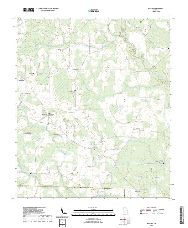 2024 Bethany2024 Print · USGSSouthwest Georgia's agricultural heartland is documented here in the early twenty-first century, showing the rural communities of Baker and Miller counties. Researchers can trace local history through many small cemeteries and country churches, including Stephen Bush Cem, Bethany, and Mimsville.
 - 2024 Map of Bermuda, 2024 Print
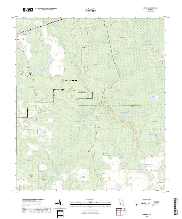 2024 Bermuda2024 Print · USGSThe tri-county boundary of Baker, Calhoun, and Dougherty counties comes alive in this survey of Southwest Georgia's wetlands. Genealogists can trace family names at the Mount Pleasant Primitive Baptist Church Cem or follow the waters of Chickasawhatchee Creek to Hellgate Swamp.
Showing maps 1-25 of 28
Top cities of Baker County
Frequently asked questions
- What are the different types of historical maps available for Baker County?
- What is the oldest map of Baker County?
- Where can I purchase historical maps of Baker County for my home or office?
- Where can I download high-res historical maps of Baker County?
- Are there historical topographic maps available for Baker County?
- Is there historical aerial imagery available for Baker County?
- Where are historical maps of Baker County sourced from?