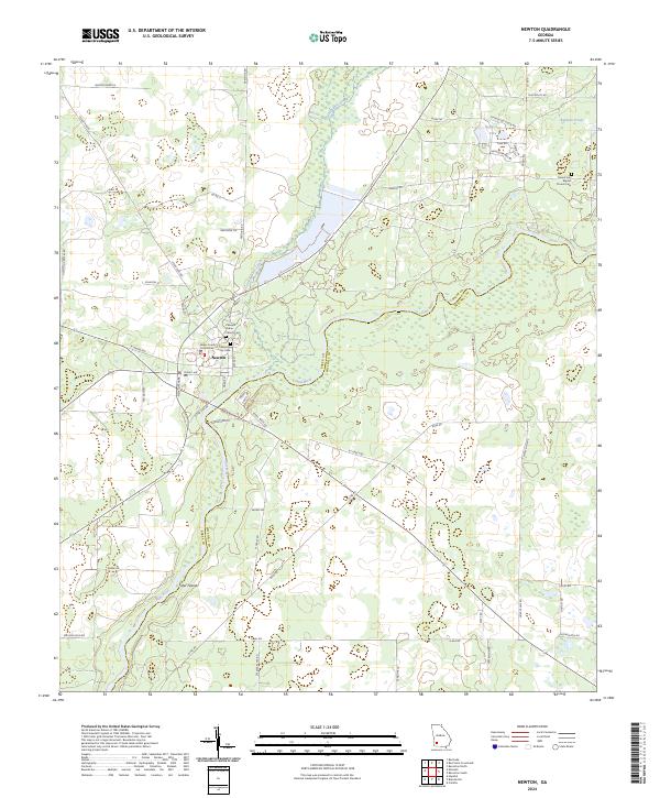
2024 Map of Newton
USGS Topo · Published 2024About this map
The town of Newton, Georgia, serves as the central hub of this Baker County landscape, situated along the west bank of the Flint River. The map provides a contemporary look at the civic heart of the area, including the Baker County Courthouse and the local Newton City Cem. The surrounding terrain is characterized by the confluence of the Cooleewahee Creek and the river, with notable water features like Wildcat Spring and Reflection Lake dotting the northern countryside.
Find a feature on this map
59 named features on this map. Tap any name to fly to it.
Don’t see what you’re looking for? This feature index may not catch every label — zoom into the map to look around manually.
Map Details
Editions of this 2024 Newton Map
This is the sole edition of this map. No revisions or reprints were ever made.
Other maps of this area

1953 · Dothan
USGS Topo · 1:250,000

1954 · Dothan
USGS Topo · 1:250,000

1955 · Dothan
USGS Topo · 1:250,000

1956 · Baconton
USGS Topo · 1:62,500

1956 · Newton
USGS Topo · 1:62,500

1971 · Camilla
USGS Topo · 1:24,000

1971 · Hopeful
USGS Topo · 1:24,000
1971 · Branchville
USGS Topo · 1:24,000
1974 · Baconton South
USGS Topo · 1:24,000

1974 · Elmodel
USGS Topo · 1:24,000