2000s (21st Century) Maps of Charlton County, Georgia
Explore 119 historic maps of Charlton County from the 2000s (21st Century). These maps offer a rare glimpse into what life looked like during the 2000s — showing old roads, neighborhoods, homes, and landmarks that have changed or disappeared over time.
Whether you're researching your family's past, planning a metal detecting trip, or studying how Charlton County's landscape evolved across the 2000s, these high-resolution maps are a powerful tool for exploring the history of this region.
- Focus on a specific era: All maps on this page are from the 2000s, giving you a focused view of this time period.
- See what’s changed: Compare century-old streets, trails, and buildings to today's modern landscape using overlays and satellite layers.
- Research with precision: Use these maps for genealogy, historical research, land use analysis, or educational projects.
- View, download, or print: Maps are fully viewable online in high resolution, and can be downloaded or printed for your own records.
Start exploring Charlton County's history through authentic maps from the 2000s. This is your window into the past.
Charlton County, GA maps
(119)- 2006 Map of Macclenny NW, 2007 Print
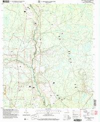 2006 Macclenny NW2007 Print · USGSThe Florida-Georgia borderlands along the St Marys River appear in detail in this mid-2000s survey of the northern Osceola National Forest. Researchers can trace rural lineages through local landmarks like Moniac Ch and family sites such as the Canaday Cem.
 - 2011 Map of Boulogne, 2011 Print
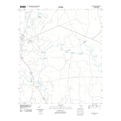 2011 Boulogne2011 Print · USGSThe Georgia-Florida border along the Saint Marys River is captured here during a period of modern growth and historical preservation. Researchers can trace the legacy of river commerce through numerous historic landings like Cooneys Landing and Gum Stump Landing.
 - 2011 Map of Burnt Fort, 2011 Print
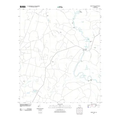 2011 Burnt Fort2011 Print · USGSSoutheast Georgia's river-driven landscape is captured here in the early twenty-first century as it borders the winding Satilla River. Researchers can trace old family burial grounds like Corinth Cemetery and river access points including Allens Ferry and Clarks Landing.
 - 2011 Map of Waycross SE, 2011 Print
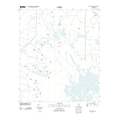 2011 Waycross SE2011 Print · USGSWare County’s wetland interior is documented here in the early twenty-first century, showing the intricate maze of islands and landings near the swamp perimeter. Researchers can map out specific points of local interest like Taylors Landing, Wheel of Fortune Island, and the settlement at Skullhead.
 - 2011 Map of Winokur, 2011 Print
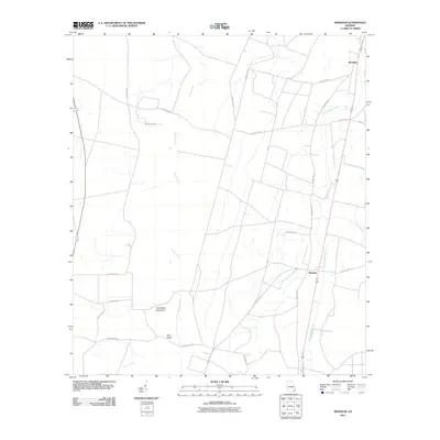 2011 Winokur2011 Print · USGSBrantley County is shown in the early twenty-first century, centered on the small settlements of Winokur and Bachlott. Genealogists and local historians can trace rural family connections along named routes like John S Pond Rd and near White Oak Hammock.
 - 2011 Map of Double Lakes, 2011 Print
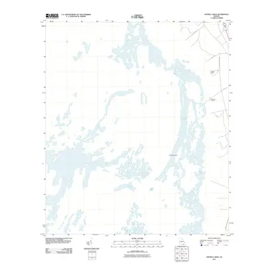 2011 Double Lakes2011 Print · USGSCharlton County’s intricate wetlands and inland waters are documented here in the early twenty-first century. Researchers can trace the narrow corridors of Canal Rd and Swamp Perimeter Rd to find remote landmarks like Kingfisher Landing.
 - 2011 Map of Dinner Pond, 2011 Print
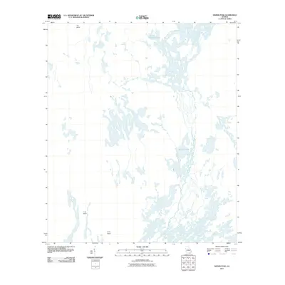 2011 Dinner Pond2011 Print · USGSCharlton County’s interior wetlands are mapped here in the early twenty-first century, showing a labyrinth of water and isolated land. Researchers can trace the winding Middle Fork Suwannee River and locate features like Maul Hammock Lake and Camp Island.
 - 2011 Map of Chesser Island, 2011 Print
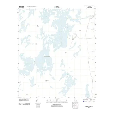 2011 Chesser Island2011 Print · USGSThe Georgia wetlands are captured here in the early twenty-first century, showing a remote landscape of land masses and named waters. Trace the layout of isolated sites like Camp Cornelia, Chesser Island, and the waters of Monkey Lake.
 - 2011 Map of Chase Prairie, 2011 Print
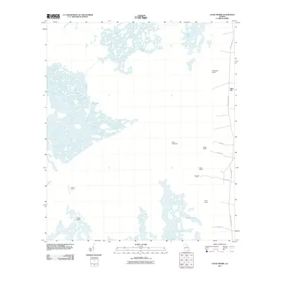 2011 Chase Prairie2011 Print · USGSCoastal Georgia's wetland interior is documented here in the early twenty-first century, showing the interface of dry land and deep swamp. Researchers can trace the path of the Suwannee Canal and find remote access points like Bugaboo Landing and Silver Hill.
 - 2011 Map of Billys Island, 2011 Print
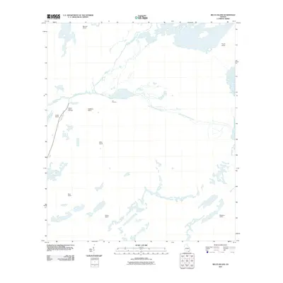 2011 Billys Island2011 Print · USGSWare County, Georgia, is shown in the early twenty-first century as a land shaped by the winding forks of the Suwannee River. Genealogists and historians can locate Lee Cemetery or trace the elevated landmasses of Billys Island and Honey Island across the wetlands.
 - 2011 Map of Macclenny NE, 2011 Print
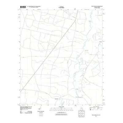 2011 Macclenny NE2011 Print · USGSThe Georgia-Florida borderlands near the river come alive in the early twenty-first century, showing the rural homesteads and wetlands of the region. Genealogists can locate several family burial sites including Emmaus Cemetery and Pringle Cemetery near the banks of the Saint Marys River.
 - 2011 Map of The Pocket, 2011 Print
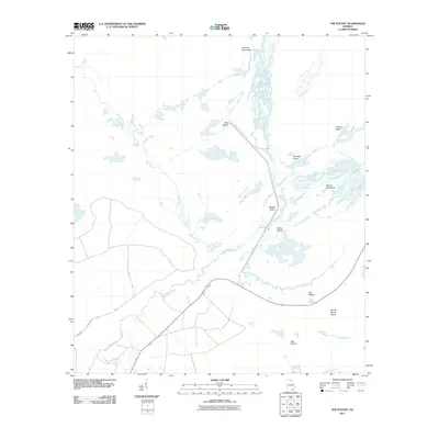 2011 The Pocket2011 Print · USGSWare County wetlands are captured here at the start of the 2010s, showcasing the complex water system of the upper Suwannee. Researchers can trace the path of the Suwannee River Sill and locate family-named landmarks like Mixons Hammock and Macks Island.
 - 2011 Map of Folkston, 2011 Print
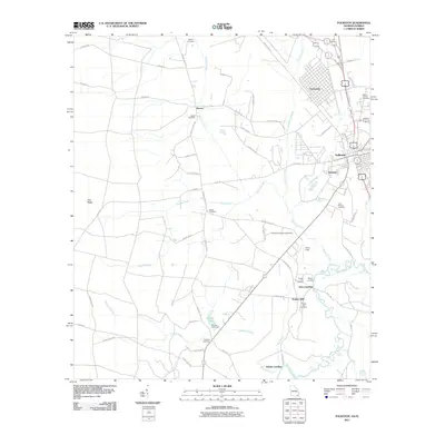 2011 Folkston2011 Print · USGSFolkston and the riverbanks of the Saint Marys River are shown here in the early 21st century, detailing a landscape defined by water and woods. Genealogists can locate family names and burial sites at Traders Hill Cemetery, Sardis Cemetery, and Moody Landing.
 - 2011 Map of Macclenny West, 2011 Print
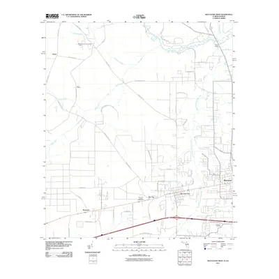 2011 Macclenny West2011 Print · USGSBaker County in the early twenty-first century shows a landscape of established river towns and rural crossroads. Genealogists and local historians can trace family-named routes and sites like Turner Cemetery, Margaretta, and Smith Bridge along the Saint Marys River.
 - 2011 Map of Moniac, 2011 Print
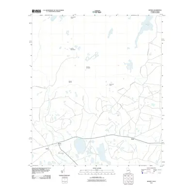 2011 Moniac2011 Print · USGSNear the Georgia-Florida border in the early twenty-first century, this landscape is defined by the wetlands surrounding the North Prong Saint Marys River. Researchers can trace the layout of Baxter, Moniac, and Boggy, or locate family sites at the Moniac Cemetery and landmarks like Ellicotts Mound.
 - 2011 Map of Toledo, 2011 Print
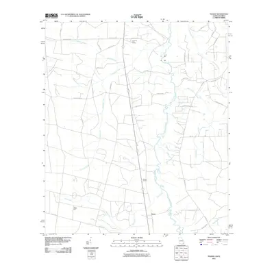 2011 Toledo2011 Print · USGSThe Georgia-Florida borderlands come to life in this study of Charlton County, where the river meets a network of historic family lands. Trace local roots at the Cornhouse Creek Cemetery, locate the Toledo Lookout Tower, and follow the bends of the Saint Marys River.
 - 2011 Map of Cravens Island, 2011 Print
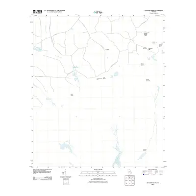 2011 Cravens Island2011 Print · USGSCoastal Georgia's wetland edge comes into focus in this study of the landscape surrounding the Suwannee River headwaters. Genealogists and local historians can trace family-named landmarks like McLeods Mill and Pittmans Pond alongside islands like Hog Island.
 - 2011 Map of Macclenny NW, 2011 Print
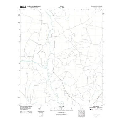 2011 Macclenny NW2011 Print · USGSThe Florida-Georgia borderlands are defined by the winding course of the Saint Marys River in the early twenty-first century. Researchers can trace family-named routes such as Frederick Raulerson Rd and Hassie Johns Rd near the banks of Tiger Branch.
 - 2011 Map of Saint George, 2011 Print
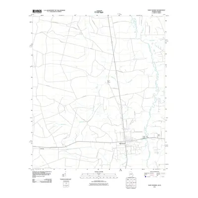 2011 Saint George2011 Print · USGSSoutheast Georgia meets the Florida border in the early 2000s, where the winding Saint Marys River defines the landscape. Genealogists and local historians can trace family roots through sites like Saint George Cemetery or the Conner-Green Cemetery near Saint George.
 - 2011 Map of Fort Mudge, 2011 Print
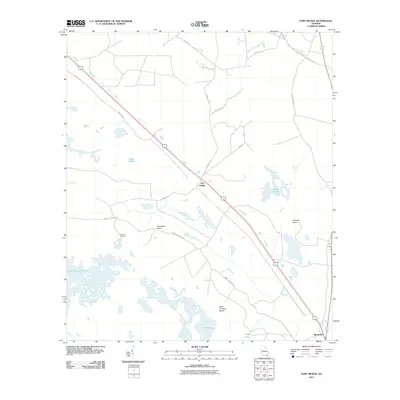 2011 Fort Mudge2011 Print · USGSWare County at the start of the 2010s reveals a landscape of islands and landings interwoven with the region's expansive wetlands. Genealogists and local historians can trace family-named locations such as Kitchens Landing, Fort Mudge, and Racepond along the highway and swamp margins.
 - 2011 Map of Waycross SW, 2011 Print
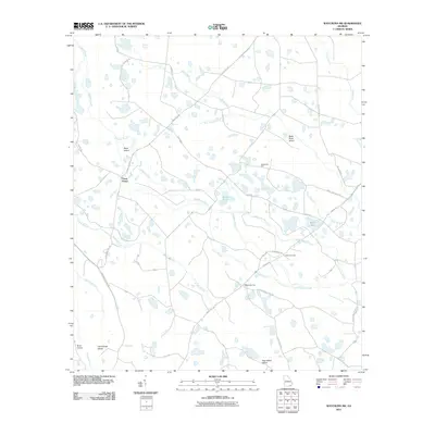 2011 Waycross SW2011 Print · USGSWare County in the early 2010s reveals a landscape defined by its deep south Georgia wetlands and historic post roads. Genealogists and local historians can locate Carter Cemetery and trace the drainage of Alligator Creek and Bear Belly Strand near the Three Points junction.
 - 2011 Map of Macclenny East, 2011 Print
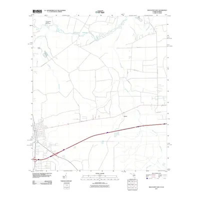 2011 Macclenny East2011 Print · USGSSpanning the Florida-Georgia border in the early twenty-first century, this landscape is defined by the winding Saint Marys River. Genealogists and local historians can trace the rural settlement at Mattox or locate Thrifts Airport and the waters of Worley Lake.
 - 2011 Map of Newell, 2011 Print
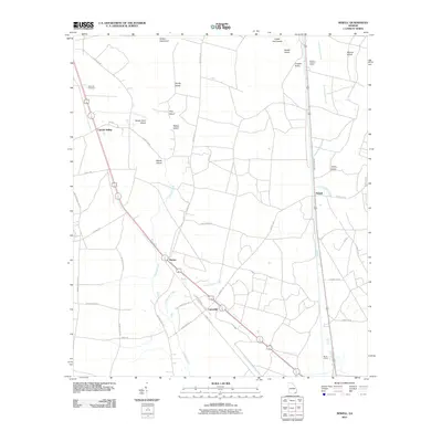 2011 Newell2011 Print · USGSSoutheast Georgia at the start of the 2010s reveals a landscape of island-like hummocks and vital rail sidings. Researchers can locate the Sand Hill Cemetery, trace the path of Little Buffalo Creek, or identify old hubs at Newell and Uptonville.
 - 2011 Map of Boons Lake, 2011 Print
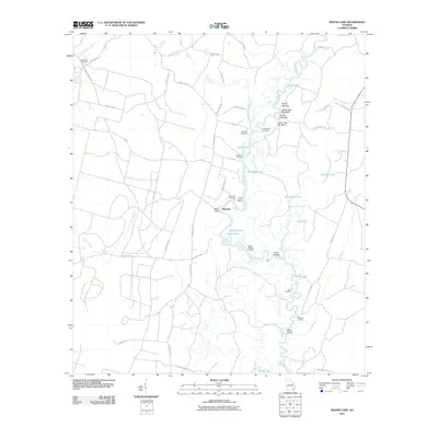 2011 Boons Lake2011 Print · USGSDeep in the river country of southeast Georgia in the early twenty-first century, the river landscape remains defined by its winding channels and backwater lakes. Genealogists and local historians can trace family locations near Bethlehem Cemetery, Gold Mine Landing, and the settlement of Big Oak.
 - 2012 Map of Macclenny East, 2012 Print
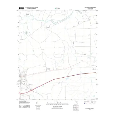 2012 Macclenny East2012 Print · USGSThe Florida-Georgia borderlands near the start of the decade reveal a landscape defined by the winding Saint Marys River and the expanding town of Macclenny. Researchers can trace local development around Mattox and identify family-named roads near Worley Lake and Trail Ridge.
Showing maps 1-25 of 119
Top cities of Charlton County
Frequently asked questions
- What are the different types of historical maps available for Charlton County?
- What is the oldest map of Charlton County?
- Where can I purchase historical maps of Charlton County for my home or office?
- Where can I download high-res historical maps of Charlton County?
- Are there historical topographic maps available for Charlton County?
- Is there historical aerial imagery available for Charlton County?
- Where are historical maps of Charlton County sourced from?