2020s Maps of Charlton County, Georgia
Explore 46 historic maps of Charlton County from the 2020s. These maps offer a rare glimpse into what life looked like during the 2020s — showing old roads, neighborhoods, homes, and landmarks that have changed or disappeared over time.
Whether you're researching your family's past, planning a metal detecting trip, or studying how Charlton County's landscape evolved across the 2020s, these high-resolution maps are a powerful tool for exploring the history of this region.
- Focus on a specific era: All maps on this page are from the 2020s, giving you a focused view of this time period.
- See what’s changed: Compare century-old streets, trails, and buildings to today's modern landscape using overlays and satellite layers.
- Research with precision: Use these maps for genealogy, historical research, land use analysis, or educational projects.
- View, download, or print: Maps are fully viewable online in high resolution, and can be downloaded or printed for your own records.
Start exploring Charlton County's history through authentic maps from the 2020s. This is your window into the past.
Charlton County, GA maps
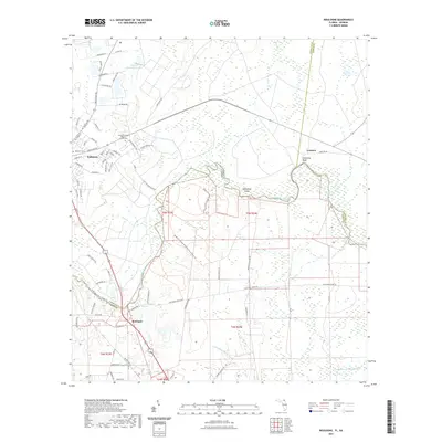
(46)- 2020 Map of Toledo, 2020 Print
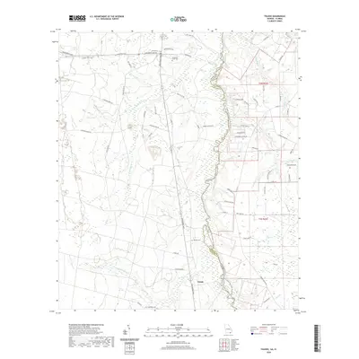 2020 Toledo2020 Print · USGSCovers Charlton County, including Toledo, Nassau County, and other nearby areas
 - 2020 Map of Chesser Island, 2020 Print
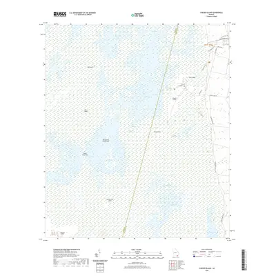 2020 Chesser Island2020 Print · USGSCovers Charlton County, including Ware County, United States, and other nearby areas
 - 2020 Map of Macclenny NE, 2020 Print
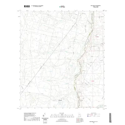 2020 Macclenny NE2020 Print · USGSCovers Charlton County, including Stokesville, Nassau County, and other nearby areas
 - 2020 Map of Moniac, 2020 Print
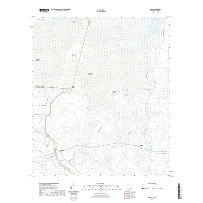 2020 Moniac2020 Print · USGSCovers Charlton County, including Baxter, Moniac, and other nearby areas
 - 2020 Map of Folkston, 2020 Print
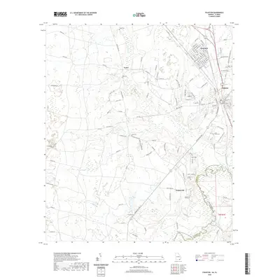 2020 Folkston2020 Print · USGSCovers Charlton County, including Folkston, Homeland, and other nearby areas
 - 2020 Map of Macclenny NW, 2020 Print
 2020 Macclenny NW2020 Print · USGSCovers Charlton County, including Baker County, United States, and other nearby areas
 - 2020 Map of Dinner Pond, 2020 Print
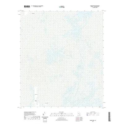 2020 Dinner Pond2020 Print · USGSCovers Charlton County, including United States, Georgia, and other nearby areas
 - 2020 Map of Cravens Island, 2020 Print
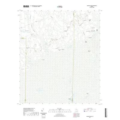 2020 Cravens Island2020 Print · USGSCovers Charlton County, including McLeods Mill, Hopkins, and other nearby areas
 - 2020 Map of Newell, 2020 Print
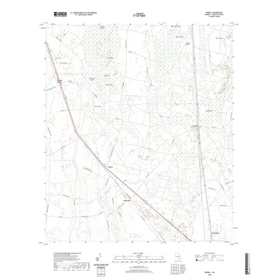 2020 Newell2020 Print · USGSCovers Charlton County, including Homeland, Newell, and other nearby areas
 - 2020 Map of The Pocket, 2020 Print
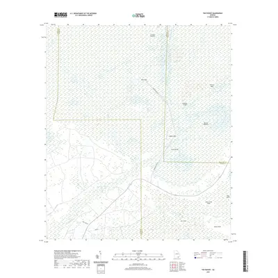 2020 The Pocket2020 Print · USGSCovers Charlton County, including Ware County, Clinch County, and other nearby areas
 - 2020 Map of Saint George, 2020 Print
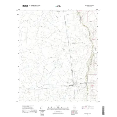 2020 Saint George2020 Print · USGSCovers Charlton County, including Saint George, Clarking, and other nearby areas
 - 2020 Map of Burnt Fort, 2020 Print
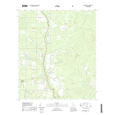
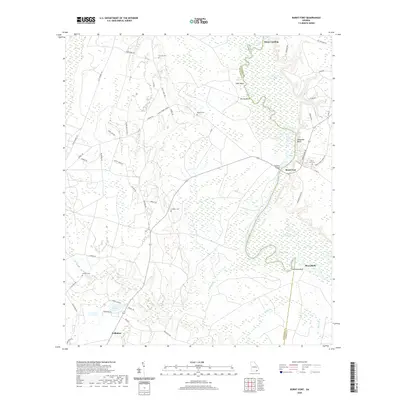 2020 Burnt Fort2020 Print · USGSCovers Charlton County, including Folkston, Mays Bluff, and other nearby areas
 - 2020 Map of Chase Prairie, 2020 Print
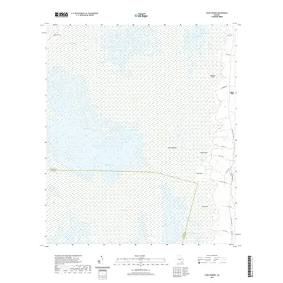 2020 Chase Prairie2020 Print · USGSCovers Charlton County, including Silver Hill, Ware County, and other nearby areas
 - 2020 Map of Double Lakes, 2020 Print
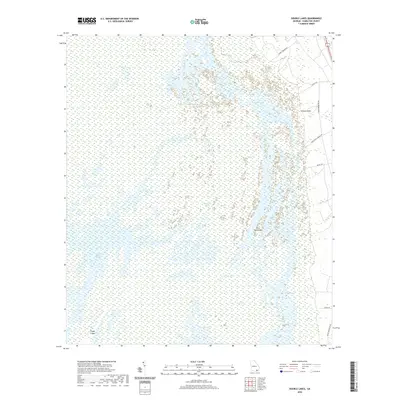 2020 Double Lakes2020 Print · USGSCovers Charlton County, including United States, Georgia, and other nearby areas
 - 2020 Map of Billys Island, 2020 Print
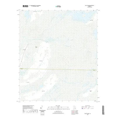 2020 Billys Island2020 Print · USGSCovers Charlton County, including Ware County, United States, and other nearby areas
 - 2020 Map of Winokur, 2020 Print
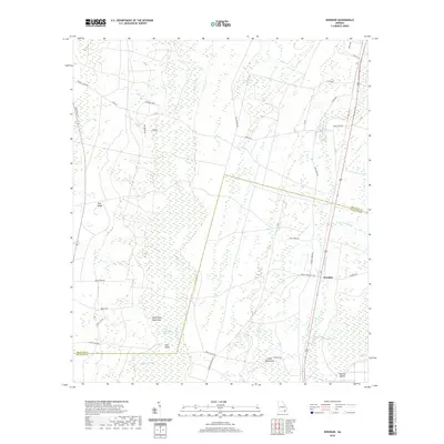 2020 Winokur2020 Print · USGSCovers Charlton County, including Bachlott, Winokur, and other nearby areas
 - 2020 Map of Waycross SW, 2020 Print
 2020 Waycross SW2020 Print · USGSCovers Charlton County, including Three Points, Ware County, and other nearby areas
 - 2020 Map of Fort Mudge, 2020 Print
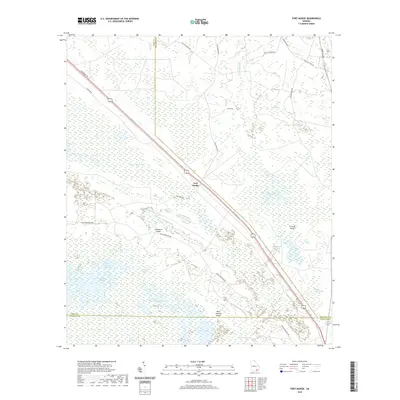 2020 Fort Mudge2020 Print · USGSCovers Charlton County, including Ware County, Brantley County, and other nearby areas
 - 2020 Map of Waycross SE, 2020 Print
 2020 Waycross SE2020 Print · USGSCovers Charlton County, including Skullhead, Ware County, and other nearby areas
 - 2020 Map of Boons Lake, 2020 Print
 2020 Boons Lake2020 Print · USGSCovers Charlton County, including Big Oak, Camden County, and other nearby areas
 - 2021 Map of Boulogne, 2021 Print
 2021 Boulogne2021 Print · USGSCovers Charlton County, including Folkston, Colerain, and other nearby areas
 - 2021 Map of Macclenny East, 2021 Print
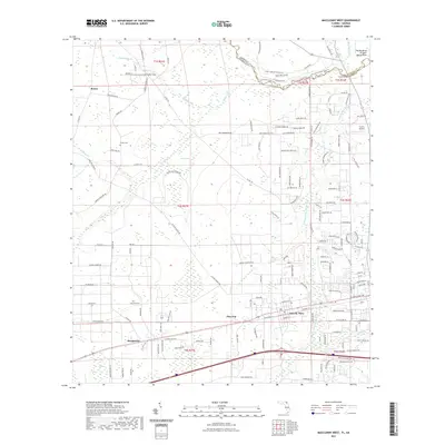
 2021 Macclenny East2021 Print · USGSCovers Charlton County, including Jacksonville, Macclenny, and other nearby areas
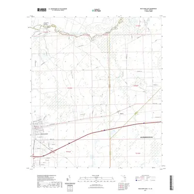
 - 2021 Map of Macclenny West, 2021 Print
 2021 Macclenny West2021 Print · USGSCovers Charlton County, including Macclenny, Glen Saint Mary, and other nearby areas
 - 2024 Map of Chase Prairie, 2024 Print
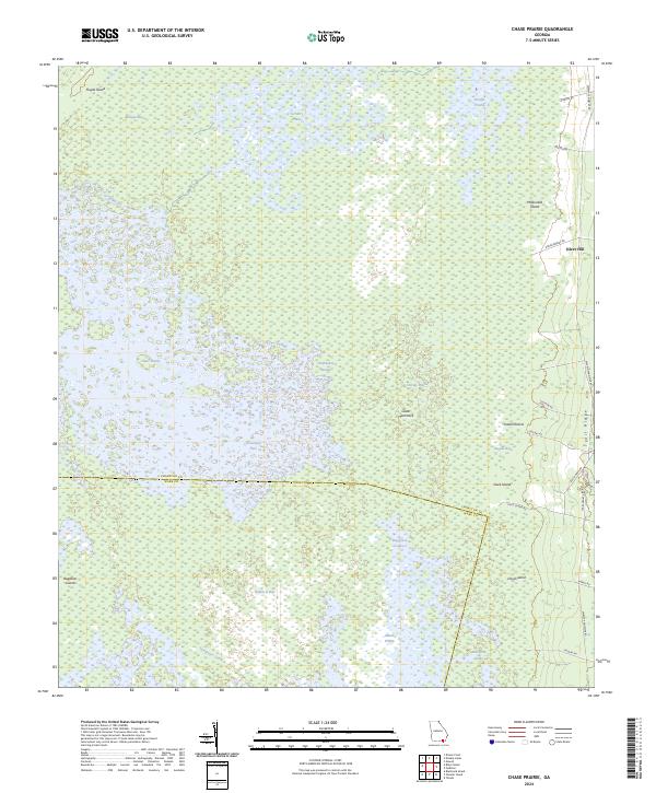 2024 Chase Prairie2024 Print · USGSThe Okefenokee interior comes into sharp focus in this recent survey of the Georgia wetlands. Researchers can trace the navigation of the Suwannee Canal, identify isolated high points like Floyds Island, and locate the settlement of Silver Hill along the eastern ridge.
 - 2024 Map of Fort Mudge, 2024 Print
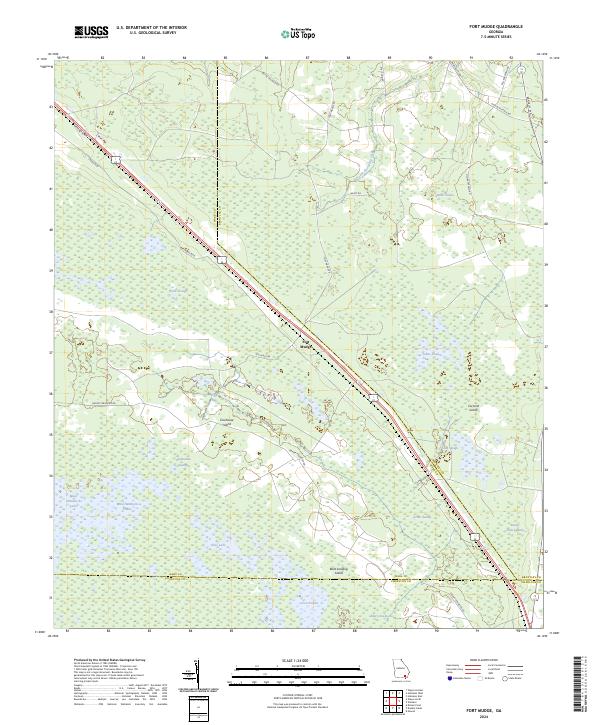 2024 Fort Mudge2024 Print · USGSSoutheast Georgia’s wetland interior comes into focus here, where the settlement of Fort Mudge meets the edge of the great swamp. Researchers can trace the boundaries of the Okefenokee National Wildlife Refuge and locate remote features like Cowhouse Island and Maul Hammock Lake.
Showing maps 1-25 of 46
Top cities of Charlton County
Frequently asked questions
- What are the different types of historical maps available for Charlton County?
- What is the oldest map of Charlton County?
- Where can I purchase historical maps of Charlton County for my home or office?
- Where can I download high-res historical maps of Charlton County?
- Are there historical topographic maps available for Charlton County?
- Is there historical aerial imagery available for Charlton County?
- Where are historical maps of Charlton County sourced from?