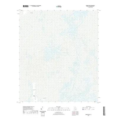
2020 Map of Dinner Pond
USGS Topo · Published 2020About this map
The Okefenokee Swamp dominates this landscape, revealing a complex labyrinth of blackwater channels and freshwater marsh. This modern survey details the intricate drainage patterns of the upper Suwannee basin, where the Middle Fork Suwannee River and Little Fork Suwannee River converge amidst a vast network of peat-based prairies. These open wetlands, including Big Water Prairie and Sapling Prairie, are punctuated by isolated upland "islands" such as Long Island and Minnies Island, which have historically served as crucial dry-ground refuges in the heart of the swamp. To the south, Floyds Island Prairie and Big Water Lake mark significant open-water features within the protected wilderness. The geography here illustrates the slow, southward movement of water through Bird Wind Run, a critical natural artery for this unique ecosystem on the Georgia-Florida border.
Find a feature on this map
13 named features on this map. Tap any name to fly to it.
Don’t see what you’re looking for? This feature index may not catch every label — zoom into the map to look around manually.
Map Details
Editions of this 2020 Dinner Pond Map
This is the sole edition of this map. No revisions or reprints were ever made.
Other maps of this area

1918 · Folkston
USGS Topo · 1:62,500

1953 · Waycross
USGS Topo · 1:250,000

1954 · Valdosta
USGS Topo · 1:250,000

1958 · Valdosta
USGS Topo · 1:250,000

1958 · Waycross
USGS Topo · 1:250,000

1959 · Valdosta
USGS Topo · 1:250,000

1965 · Double Lakes
USGS Topo · 1:24,000

1965 · Chase Prairie
USGS Topo · 1:24,000

1965 · Dinner Pond
USGS Topo · 1:24,000
1966 · Billys Island
USGS Topo · 1:24,000