2020s Maps of Folkston, Georgia
Explore 6 historic maps of Folkston from the 2020s. These maps offer a rare glimpse into what life looked like during the 2020s — showing old roads, neighborhoods, homes, and landmarks that have changed or disappeared over time.
Whether you're researching your family's past, planning a metal detecting trip, or studying how Folkston's landscape evolved across the 2020s, these high-resolution maps are a powerful tool for exploring the history of this region.
- Focus on a specific era: All maps on this page are from the 2020s, giving you a focused view of this time period.
- See what’s changed: Compare century-old streets, trails, and buildings to today's modern landscape using overlays and satellite layers.
- Research with precision: Use these maps for genealogy, historical research, land use analysis, or educational projects.
- View, download, or print: Maps are fully viewable online in high resolution, and can be downloaded or printed for your own records.
Start exploring Folkston's history through authentic maps from the 2020s. This is your window into the past.
Folkston, GA maps
(6)- 2020 Map of Folkston, 2020 Print
 2020 Folkston2020 Print · USGSCovers Folkston, including Homeland, Paxton, and other nearby areas
 - 2020 Map of Burnt Fort, 2020 Print
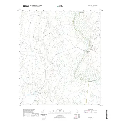 2020 Burnt Fort2020 Print · USGSCovers Folkston, including Mays Bluff, Rains Landing, and other nearby areas
 - 2021 Map of Boulogne, 2021 Print
 2021 Boulogne2021 Print · USGSCovers Folkston, including Colerain, Pinehurst, and other nearby areas
 - 2024 Map of Burnt Fort, 2024 Print
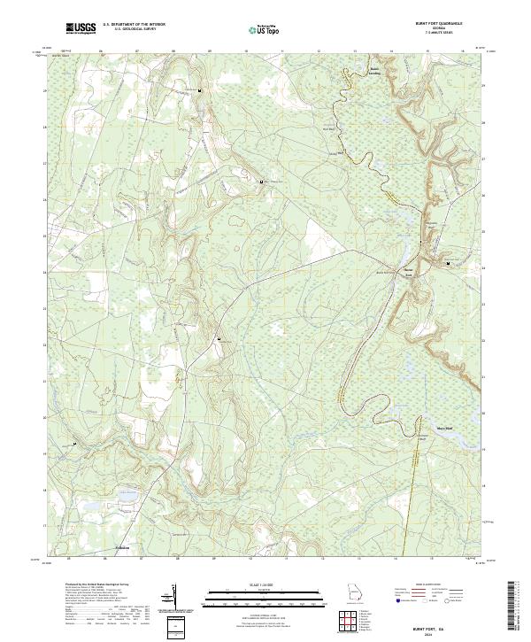 2024 Burnt Fort2024 Print · USGSThe Satilla River corridor at the Charlton and Camden county line comes to life in this detailed modern survey. Genealogists and historians can trace family roots through Burnt Fort Cem and Lowther Cem, or locate landmarks like Burnt Fort Ferry and Rains Landing.
 - 2024 Map of Folkston, 2024 Print
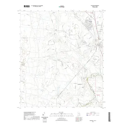
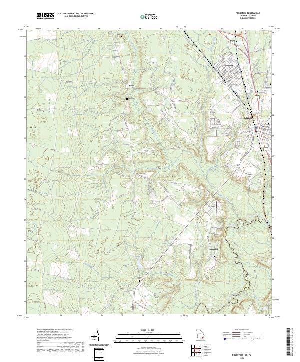 2024 Folkston2024 Print · USGSThe Charlton County seat and the neighboring town of Homeland are mapped here along the Okefenokee swamp edge. Genealogists can locate family sites like Traders Hill Cem, the Little Phoebe Church, and the Charlton County Courthouse.
 - 2024 Map of Boulogne, 2024 Print
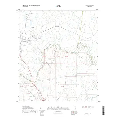
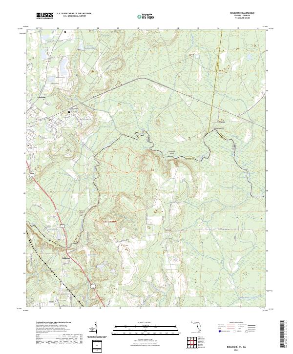 2024 Boulogne2024 Print · USGSThe Georgia-Florida borderlands along the Saint Marys River come into focus in this contemporary survey. Genealogists and local historians can trace the riverside bluffs and settlements from Colerain to the Camp Pinckney Baptist Church Cem.
End of results
Showing maps 1-6 of 6
Top cities near Folkston
Top neighborhoods of Folkston
Frequently asked questions
- What are the different types of historical maps available for Folkston?
- What is the oldest map of Folkston?
- Where can I purchase historical maps of Folkston for my home or office?
- Where can I download high-res historical maps of Folkston?
- Are there historical topographic maps available for Folkston?
- Is there historical aerial imagery available for Folkston?
- Where are historical maps of Folkston sourced from?