Old Maps of Pooler, Georgia for Academic Research
Study the evolution of Pooler with 37 high-resolution historic maps. Whether you're teaching, researching, or modeling changes in land use, these maps provide essential visual documentation of urban, environmental, and geographic change.
- Analyze long-term change: Track patterns in development, transportation, and natural features.
- Ideal for environmental or urban studies: Support academic projects with primary historical map data.
- Use in the classroom or lab: Educators and researchers rely on these maps to bring historical context to life.
These maps are a powerful tool for teaching, research, and visualizing how Pooler has changed over the decades.
Pooler, GA maps
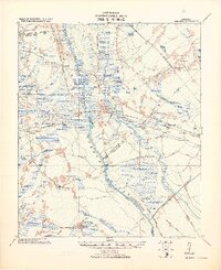
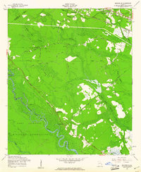
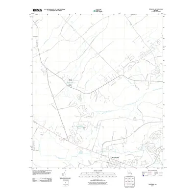
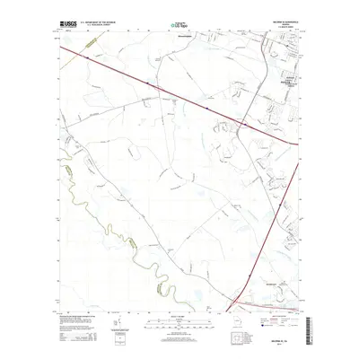
(37)- 1920 Map of Meldrim
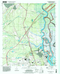
 1920 Meldrim1920 Print · USGSCoastal Georgia during the early post-war period is defined here by the winding Ogeechee River and a busy intersection of rail lines. Genealogists and researchers can trace family roots near Clyde or locate rural landmarks like Zion Church and Miller Chapel.
 - 1942 Map of Meldrim
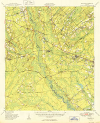
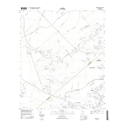
 1942 Meldrim1942 Print · USGSThe Ogeechee River corridor and its railway junctions are captured here in a series of surveys finalized just before the mid-century. Researchers can trace the layout of early settlements like Meldrim and Ellabel or locate ancestral sites at Miller Chapel and Zion Church.
 - 1942 Map of Savannah
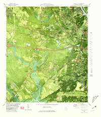
 1942 Savannah1942 Print · USGSCoastal Georgia and the South Carolina borderlands come alive in this wartime survey of the Savannah riverfront. Genealogists and historians can trace industrial housing at Port Wentworth Colored Village, river landmarks like Fort Jackson, and the footprint of the Ogeechee Canal.
 - 1947 Map of Savannah
 1947 Savannah1947 Print · USGSCoastal Georgia and South Carolina are captured here in the mid-forties, showing the rail-and-river networks of the Lowcountry. Genealogists and researchers can trace old crossroads and river towns from Statesboro to Beaufort, alongside military sites like Camp Stewart and Parris Island.
 - 1948 Map of Savannah
 1948 Savannah1948 Print · USGSThe Georgia and South Carolina Lowcountry comes alive in this post-war survey of the coast and its river-fed hinterlands. Genealogists and historians can trace rail lines like the Central of Georgia RR and find established settlements such as Isle of Hope and Sylvania.
 - 1950 Map of Meldrim
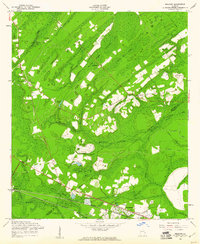
 1950 Meldrim1950 Print · USGSCoastal Georgia in the late forties is defined by the rail lines and river swamps that connect inland towns like Meldrim and Blitchton. Genealogists can trace family landmarks and rural life at the Scaffletown School, Bethesda Ch, and Blitch Cem.2 unique versions available
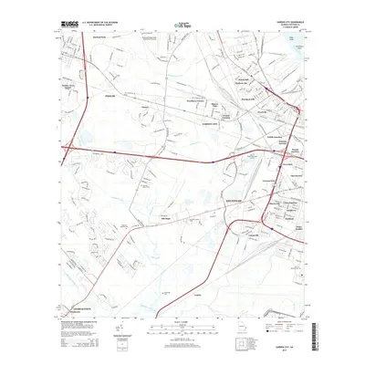
 - 1955 Map of Garden City, 1957 Print
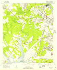 1955 Garden City1957 Print · USGSGarden City and the western outskirts of Savannah are shown here during a period of rapid aviation and rail expansion in the mid-fifties. Genealogists and historians can locate family landmarks like Silk Hope, the Lincoln Memorial Cem, and early recreational sites such as the Oglethorpe Speedway.2 unique versions available
 - 1955 Map of Port Wentworth, 1957 Print
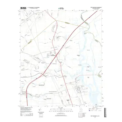
 1955 Port Wentworth1957 Print · USGSCoastal Georgia at the mid-century reveals a complex landscape of river commerce and expanding rail networks north of Savannah. Genealogists and historians can trace family-named sites like Meinhard, Cherokee Hill Cem, and the old Goshen Ch as they appeared before modern development.2 unique versions available
 - 1957 Map of Savannah, 1967 Print
 1957 Savannah1967 Print · USGSThe Lowcountry and Georgia coastal plain are shown here in the late fifties, prior to modern expansion. Researchers can trace the rail-and-river economy through the Central of Georgia lines and the Ogeechee River wetlands.4 unique versions available
 - 1958 Map of Meldrim SE, 1961 Print
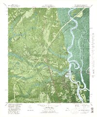
 1958 Meldrim SE1961 Print · USGSThe Ogeechee River corridor is shown in the late fifties as rail lines like the Central of Georgia connect local towns. Researchers can trace family sites like Hopeton Plantation, Ennis Cem, and Spring Hill Ch.4 unique versions available
 - 1958 Map of Meldrim, 1961 Print
 1958 Meldrim1961 Print · USGSThe Effingham and Chatham county line in the late fifties was a land of timber and tracks centered on the railroad junction at Meldrim. Researchers can trace old rural communities through sites like Marlow Sch, Union Ch, and the crossing of the Central of Georgia railroad.4 unique versions available
 - 1960 Map of Savannah
 1960 Savannah1960 Print · USGSCoastal Georgia and the South Carolina Lowcountry are captured in the late fifties, showcasing the intricate web of islands and tidal rivers before modern expansion. Researchers can trace the rail lines of the Atlantic Coast Line or locate sites like Parris Island, Beaufort, and the Tybee Lighthouse.
 - 1961 Map of Savannah
 1961 Savannah1961 Print · USGSThe Georgia and South Carolina Lowcountry comes alive in this mid-century survey of coastal marshes, barrier islands, and river networks. Genealogists and historians can trace the paths of the Seaboard Air Line RR, locate family sites near Isle of Hope, or study the grounds of Fort Stewart Military Reservation.2 unique versions available
 - 1980 Map of Garden City
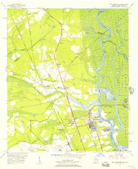
 1980 Garden City1980 Print · USGSCoastal Georgia's industrial and rail hubs are in full view during the mid-seventies, from the Savannah River terminals to the edge of Pooler. Genealogists and local historians can trace family-named sites like Waldburgh Cem, Rossignol Hill, and Silk Hope.2 unique versions available
 - 1980 Map of Port Wentworth
 1980 Port Wentworth1980 Print · USGSCoastal Georgia in the late seventies is captured here at the intersection of heavy industry and wilderness. Trace the rail lines of the Central of Georgia or find family landmarks like Mt Marriah Ch and Cherokee Hill Cem.2 unique versions available
 - 1981 Map of Savannah, 1982 Print
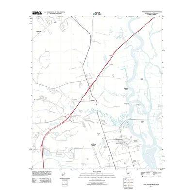
 1981 Savannah1982 Print · USGSCoastal Georgia and the South Carolina borderlands are captured here in the early eighties, showing the region's complex network of riverine islands and military installations. Researchers can trace the rail lines of the Central of Georgia and explore sites like Fort Stewart Military Reservation and Garden City.
 - 1993 Map of Port Wentworth, 1998 Print
 1993 Port Wentworth1998 Print · USGSCoastal Georgia's industrial and riverine landscape is captured here in the 1990s as it borders South Carolina. Researchers can trace historic family and community sites like Cherokee Hill Cem and Mulberry Grove alongside the Savannah River.
 - 2011 Map of Meldrim, 2011 Print
 2011 Meldrim2011 Print · USGSCovers Pooler, including Savannah, Port Wentworth, and other nearby areas
 - 2011 Map of Port Wentworth, 2011 Print
 2011 Port Wentworth2011 Print · USGSCovers Pooler, including Savannah, Garden City, and other nearby areas
 - 2012 Map of Meldrim SE, 2012 Print
 2012 Meldrim SE2012 Print · USGSCovers Pooler, including Savannah, Bloomingdale, and other nearby areas
 - 2012 Map of Garden City, 2012 Print
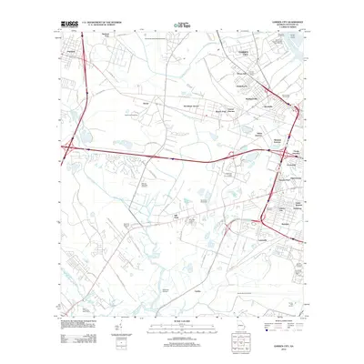 2012 Garden City2012 Print · USGSCovers Pooler, including Savannah, Garden City, and other nearby areas
 - 2014 Map of Meldrim SE, 2014 Print
 2014 Meldrim SE2014 Print · USGSCovers Pooler, including Savannah, Bloomingdale, and other nearby areas
 - 2014 Map of Meldrim, 2014 Print
 2014 Meldrim2014 Print · USGSCovers Pooler, including Savannah, Port Wentworth, and other nearby areas
 - 2014 Map of Garden City, 2014 Print
 2014 Garden City2014 Print · USGSCovers Pooler, including Savannah, Garden City, and other nearby areas
 - 2014 Map of Port Wentworth, 2014 Print
 2014 Port Wentworth2014 Print · USGSCovers Pooler, including Savannah, Garden City, and other nearby areas
Showing maps 1-25 of 37
Top cities near Pooler
- Savannah historical maps
- Richmond Hill historical maps
- Georgetown historical maps
- Garden City historical maps
- Port Wentworth historical maps
- Skidaway Island historical maps
See more
Top neighborhoods of Pooler
Frequently asked questions
- What are the different types of historical maps available for Pooler?
- What is the oldest map of Pooler?
- Where can I purchase historical maps of Pooler for my home or office?
- Where can I download high-res historical maps of Pooler?
- Are there historical topographic maps available for Pooler?
- Is there historical aerial imagery available for Pooler?
- Where are historical maps of Pooler sourced from?