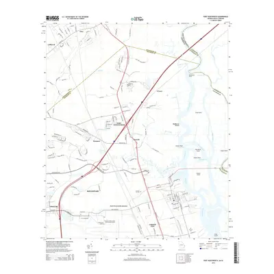
2014 Map of Port Wentworth
USGS Topo · Published 2014About this map
The Savannah River corridor and its complex network of islands and cuts define the eastern boundary of this coastal region, where industrial development and historic transport lines converge. Small settlements like Meinhard and Monteith sit along the rail and road corridors northwest of Savannah, while Port Wentworth serves as a central hub between the river and the inland marshes. The landscape is characterized by a series of significant water features and islands, including Argyle Island, Hog Marsh Island, and Onslow Island, separated by channels such as Middle River and Front River. Local heritage is anchored by sites like Cherokee Hill Cem and Fairlawn Cem, while the modern infrastructure of Savannah/Hilton Head International Airport and the growth of Garden City and Pooler illustrate the late-century expansion of the Georgia coast near the South Carolina border.
Find a feature on this map
149 named features on this map. Tap any name to fly to it.
Don’t see what you’re looking for? This feature index may not catch every label — zoom into the map to look around manually.
Map Details
Editions of this 2014 Port Wentworth Map
This is the sole edition of this map. No revisions or reprints were ever made.
Other maps of this area

1919 · Egypt
USGS Topo · 1:62,500

1920 · Hardeeville
USGS Topo · 1:62,500

1920 · Meldrim
USGS Topo · 1:62,500

1939 · Egypt
USGS Topo · 1:62,500

1942 · Meldrim
USGS Topo · 1:62,500

1942 · Savannah
USGS Topo · 1:62,500

1943 · Hardeeville
USGS Topo · 1:62,500

1943 · Egypt
USGS Topo · 1:62,500

1947 · Savannah
USGS Topo · 1:250,000

1948 · Savannah
USGS Topo · 1:250,000