Old Maps of Port Wentworth, Georgia for Hiking & Exploration
Hike through history with 24 historic maps of Port Wentworth. Explore old trails, ghost towns, and forgotten backroads — perfect for outdoor adventurers and local explorers.
- Rediscover forgotten places: Map out old mining camps, roads, and footpaths that no longer exist on modern maps.
- Layer with modern tools: Combine with LiDAR or satellite views to plan hikes through historical terrain.
- Made for exploration: Popular among hikers, overlanders, and local history lovers.
Use these maps to find adventure and explore the hidden past of Port Wentworth.
Port Wentworth, GA maps
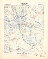
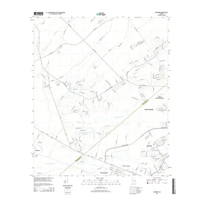
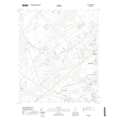
(24)- 1920 Map of Meldrim
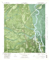
 1920 Meldrim1920 Print · USGSCoastal Georgia during the early post-war period is defined here by the winding Ogeechee River and a busy intersection of rail lines. Genealogists and researchers can trace family roots near Clyde or locate rural landmarks like Zion Church and Miller Chapel.
 - 1942 Map of Meldrim
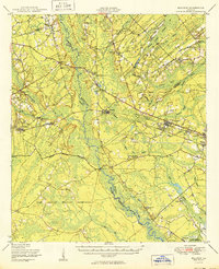
 1942 Meldrim1942 Print · USGSThe Ogeechee River corridor and its railway junctions are captured here in a series of surveys finalized just before the mid-century. Researchers can trace the layout of early settlements like Meldrim and Ellabel or locate ancestral sites at Miller Chapel and Zion Church.
 - 1942 Map of Savannah
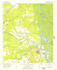
 1942 Savannah1942 Print · USGSCoastal Georgia and the South Carolina borderlands come alive in this wartime survey of the Savannah riverfront. Genealogists and historians can trace industrial housing at Port Wentworth Colored Village, river landmarks like Fort Jackson, and the footprint of the Ogeechee Canal.
 - 1947 Map of Savannah
 1947 Savannah1947 Print · USGSCoastal Georgia and South Carolina are captured here in the mid-forties, showing the rail-and-river networks of the Lowcountry. Genealogists and researchers can trace old crossroads and river towns from Statesboro to Beaufort, alongside military sites like Camp Stewart and Parris Island.
 - 1948 Map of Savannah
 1948 Savannah1948 Print · USGSThe Georgia and South Carolina Lowcountry comes alive in this post-war survey of the coast and its river-fed hinterlands. Genealogists and historians can trace rail lines like the Central of Georgia RR and find established settlements such as Isle of Hope and Sylvania.
 - 1950 Map of Meldrim
 1950 Meldrim1950 Print · USGSCoastal Georgia in the late forties is defined by the rail lines and river swamps that connect inland towns like Meldrim and Blitchton. Genealogists can trace family landmarks and rural life at the Scaffletown School, Bethesda Ch, and Blitch Cem.2 unique versions available
 - 1955 Map of Port Wentworth, 1957 Print
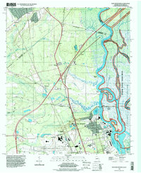
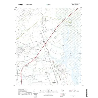
 1955 Port Wentworth1957 Print · USGSCoastal Georgia at the mid-century reveals a complex landscape of river commerce and expanding rail networks north of Savannah. Genealogists and historians can trace family-named sites like Meinhard, Cherokee Hill Cem, and the old Goshen Ch as they appeared before modern development.2 unique versions available
 - 1957 Map of Savannah, 1967 Print
 1957 Savannah1967 Print · USGSThe Lowcountry and Georgia coastal plain are shown here in the late fifties, prior to modern expansion. Researchers can trace the rail-and-river economy through the Central of Georgia lines and the Ogeechee River wetlands.4 unique versions available
 - 1958 Map of Meldrim, 1961 Print
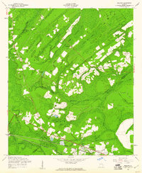 1958 Meldrim1961 Print · USGSThe Effingham and Chatham county line in the late fifties was a land of timber and tracks centered on the railroad junction at Meldrim. Researchers can trace old rural communities through sites like Marlow Sch, Union Ch, and the crossing of the Central of Georgia railroad.4 unique versions available
 - 1960 Map of Savannah
 1960 Savannah1960 Print · USGSCoastal Georgia and the South Carolina Lowcountry are captured in the late fifties, showcasing the intricate web of islands and tidal rivers before modern expansion. Researchers can trace the rail lines of the Atlantic Coast Line or locate sites like Parris Island, Beaufort, and the Tybee Lighthouse.
 - 1961 Map of Savannah
 1961 Savannah1961 Print · USGSThe Georgia and South Carolina Lowcountry comes alive in this mid-century survey of coastal marshes, barrier islands, and river networks. Genealogists and historians can trace the paths of the Seaboard Air Line RR, locate family sites near Isle of Hope, or study the grounds of Fort Stewart Military Reservation.2 unique versions available
 - 1980 Map of Port Wentworth
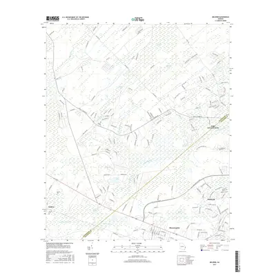
 1980 Port Wentworth1980 Print · USGSCoastal Georgia in the late seventies is captured here at the intersection of heavy industry and wilderness. Trace the rail lines of the Central of Georgia or find family landmarks like Mt Marriah Ch and Cherokee Hill Cem.2 unique versions available
 - 1981 Map of Savannah, 1982 Print
 1981 Savannah1982 Print · USGSCoastal Georgia and the South Carolina borderlands are captured here in the early eighties, showing the region's complex network of riverine islands and military installations. Researchers can trace the rail lines of the Central of Georgia and explore sites like Fort Stewart Military Reservation and Garden City.
 - 1993 Map of Port Wentworth, 1998 Print
 1993 Port Wentworth1998 Print · USGSCoastal Georgia's industrial and riverine landscape is captured here in the 1990s as it borders South Carolina. Researchers can trace historic family and community sites like Cherokee Hill Cem and Mulberry Grove alongside the Savannah River.
 - 2011 Map of Meldrim, 2011 Print
 2011 Meldrim2011 Print · USGSCovers Port Wentworth, including Savannah, Pooler, and other nearby areas
 - 2011 Map of Port Wentworth, 2011 Print
 2011 Port Wentworth2011 Print · USGSCovers Port Wentworth, including Savannah, Pooler, and other nearby areas
 - 2014 Map of Meldrim, 2014 Print
 2014 Meldrim2014 Print · USGSCovers Port Wentworth, including Savannah, Pooler, and other nearby areas
 - 2014 Map of Port Wentworth, 2014 Print
 2014 Port Wentworth2014 Print · USGSCovers Port Wentworth, including Savannah, Pooler, and other nearby areas
 - 2017 Map of Port Wentworth, 2017 Print
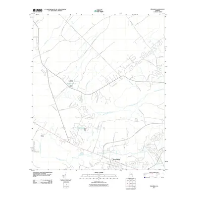
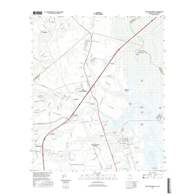 2017 Port Wentworth2017 Print · USGSCovers Port Wentworth, including Savannah, Pooler, and other nearby areas
 - 2017 Map of Meldrim, 2017 Print
 2017 Meldrim2017 Print · USGSCovers Port Wentworth, including Savannah, Pooler, and other nearby areas
 - 2020 Map of Meldrim, 2020 Print
 2020 Meldrim2020 Print · USGSCovers Port Wentworth, including Savannah, Pooler, and other nearby areas
 - 2020 Map of Port Wentworth, 2020 Print
 2020 Port Wentworth2020 Print · USGSCovers Port Wentworth, including Savannah, Pooler, and other nearby areas
 - 2024 Map of Port Wentworth, 2024 Print
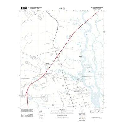
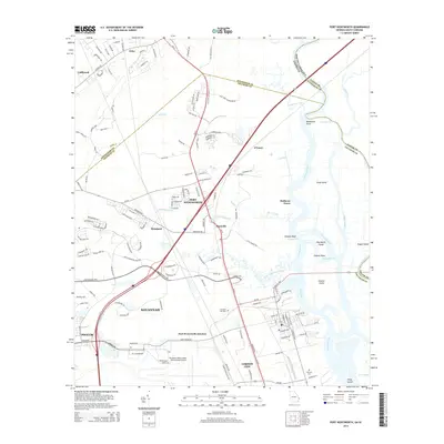
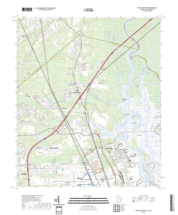 2024 Port Wentworth2024 Print · USGSCoastal Georgia's river-and-rail hub is captured in this modern survey, showing where industrial growth meets the expansive Savannah National Wildlife Refuge. Researchers can locate Goshen Methodist Church Cem and old settlements like Monteith and Meinhard.
 - 2024 Map of Meldrim, 2024 Print
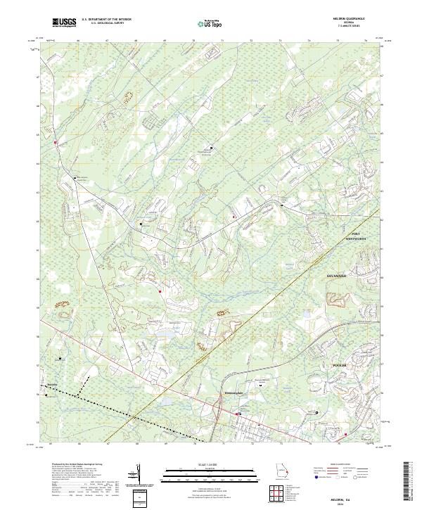 2024 Meldrim2024 Print · USGSCoastal Georgia's inland marshlands and timber tracts appear here as contemporary residential growth meets historic rural settlements. Genealogists can trace family burial sites at Helmey Family Cem and Bethesda United Methodist Church Cem near the winding River Styx.
End of results
Showing maps 1-24 of 24
Top cities near Port Wentworth
- Savannah historical maps
- Pooler historical maps
- Richmond Hill historical maps
- Georgetown historical maps
- Garden City historical maps
- Whitemarsh Island historical maps
See more
Top neighborhoods of Port Wentworth
Frequently asked questions
- What are the different types of historical maps available for Port Wentworth?
- What is the oldest map of Port Wentworth?
- Where can I purchase historical maps of Port Wentworth for my home or office?
- Where can I download high-res historical maps of Port Wentworth?
- Are there historical topographic maps available for Port Wentworth?
- Is there historical aerial imagery available for Port Wentworth?
- Where are historical maps of Port Wentworth sourced from?