2020s Maps of Clinch County, Georgia
Explore 46 historic maps of Clinch County from the 2020s. These maps offer a rare glimpse into what life looked like during the 2020s — showing old roads, neighborhoods, homes, and landmarks that have changed or disappeared over time.
Whether you're researching your family's past, planning a metal detecting trip, or studying how Clinch County's landscape evolved across the 2020s, these high-resolution maps are a powerful tool for exploring the history of this region.
- Focus on a specific era: All maps on this page are from the 2020s, giving you a focused view of this time period.
- See what’s changed: Compare century-old streets, trails, and buildings to today's modern landscape using overlays and satellite layers.
- Research with precision: Use these maps for genealogy, historical research, land use analysis, or educational projects.
- View, download, or print: Maps are fully viewable online in high resolution, and can be downloaded or printed for your own records.
Start exploring Clinch County's history through authentic maps from the 2020s. This is your window into the past.
Clinch County, GA maps
(46)- 2020 Map of Fargo, 2020 Print
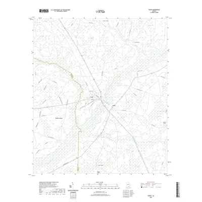 2020 Fargo2020 Print · USGSClinch County at the dawn of the 2020s shows a landscape where the Suwannee River meets the deep wetlands of the Georgia-Florida border. Trace family roots and local travel along Woodpecker Rd or find historical locations like Edith and Fargo Airport.
 - 2020 Map of Council, 2020 Print
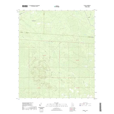 2020 Council2020 Print · USGSThe Georgia-Florida borderlands near Council are captured here in the early twenty-first century, showing a remote landscape of cypress swamps and pine flats. Researchers can trace the drainage of Little Suwannee Creek and locate family-named landmarks like H Sirmans Ln.
 - 2020 Map of Headlight, 2020 Print
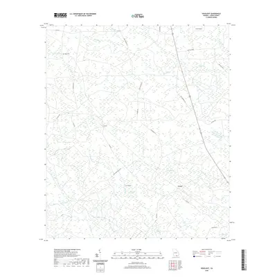 2020 Headlight2020 Print · USGSClinch County's wetland interior is documented here in the early twenty-first century, showing the small settlements of Headlight and Ernest. Researchers can locate Hilliard Cem and trace the names of family-held lands like Stalvey Bay or Crews Island.
 - 2020 Map of Stockton, 2020 Print
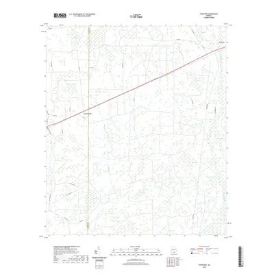 2020 Stockton2020 Print · USGSClinch and Lanier counties meet in this 2020 survey of a landscape shaped by vast wetland bays and southern timberlands. Researchers can trace the rural road network connecting Du Pont and Greenwood across local waters like Buck Cr and Pigeon Bay.
 - 2020 Map of Strange Island, 2020 Print
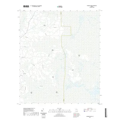 2020 Strange Island2020 Print · USGSThe Okefenokee wetlands of Ware and Clinch counties are captured here in a detailed modern study of their unique island-and-prairie geography. Researchers can trace remote locales like Indian Mound Island, Harpers Hammock, and Strange Island Prairie.
 - 2020 Map of Haylow, 2020 Print
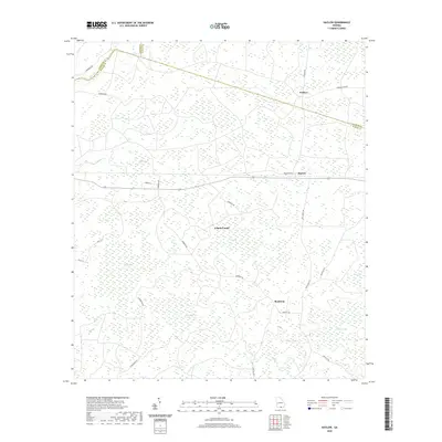 2020 Haylow2020 Print · USGSCoastal plain wetlands and small rural settlements characterize this corner of Echols County in 2020. Local history researchers can trace family-named landmarks like Simmons Bay and Bexley Bay or the road networks connecting Withers and Bamburg.
 - 2020 Map of Thelma, 2020 Print
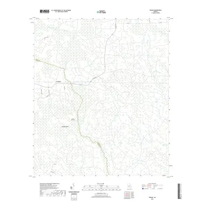 2020 Thelma2020 Print · USGSFruitland and the rural borders of Echols County are mapped here in the modern era, showing a landscape defined by timberlands and intricate wetlands. Researchers can trace the drainage of Suwannoochee Cr or locate specific bay features like McClain Bay and Stalvey Bay.
 - 2020 Map of Spooner, 2020 Print
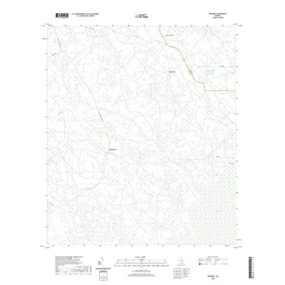 2020 Spooner2020 Print · USGSClinch County and the edge of the great swamp are captured here in the early twenty-first century. Researchers can trace the watercourses and roads that connect old locales like Jamestown and Spooner near Stevens Bay.
 - 2020 Map of Midway, 2020 Print
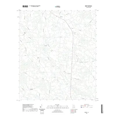 2020 Midway2020 Print · USGSMidway and Magnolia are shown here in the modern era, amidst a landscape of southern Georgia wetland bays and creek bottoms. Researchers can trace rural cemetery sites like Hard Scramble Cem and Ramah Cem alongside landmarks like Turkey Island.
 - 2020 Map of Cravens Island, 2020 Print
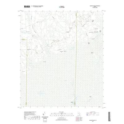 2020 Cravens Island2020 Print · USGSThe Okefenokee Swamp interior is documented in this recent survey, capturing the remote wetland landscape of Southeast Georgia. Researchers can trace the drainage of the Suwannee River and locate historic points like McLeods Mill and Cravens Island.
 - 2020 Map of The Pocket, 2020 Print
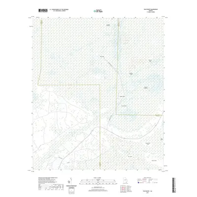 2020 The Pocket2020 Print · USGSWare County in the early twenty-first century remains defined by the intricate wetland geography of the Okefenokee Swamp. Researchers can trace the water levels and landforms of Billys Lake and family-named landmarks like Mixons Hammock and Honey Island.
 - 2020 Map of Pineland, 2020 Print
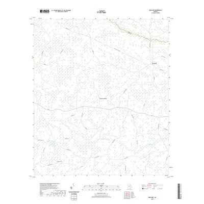 2020 Pineland2020 Print · USGSSouthern Georgia’s wetlands and timberlands are documented here just as the modern road network matured. Genealogists and researchers can trace the vicinity of Pineland and the numerous family-named bay features like Tiger Bay and the drainage of Toms Cr.
 - 2020 Map of Du Pont, 2020 Print
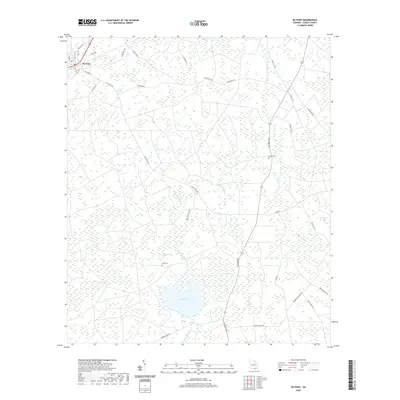 2020 Du Pont2020 Print · USGSDu Pont and the surrounding Clinch County wetlands are shown here in the early twenty-first century. Researchers can locate family landmarks like Dame Cem and Eason Cem or trace the geography of Lake Verne and Whitehead Bay.
 - 2020 Map of Colon, 2020 Print
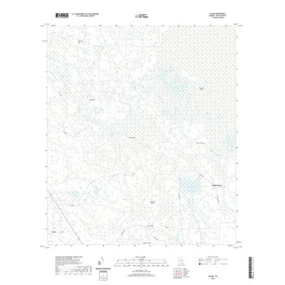 2020 Colon2020 Print · USGSClinch County in the early twenty-first century remains dominated by the sprawling wetlands of the Okefenokee Swamp. Genealogists and local historians can trace old routes and island settlements like Colon, Williamsburg, and the remote Rowells Island.
 - 2020 Map of Needmore, 2020 Print
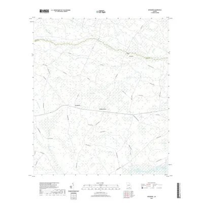 2020 Needmore2020 Print · USGSEchols County’s southern wetlands are captured here in the modern era, showing the remote landscape surrounding the Needmore community. Researchers can trace rural routes like Woodpecker Rte and locate specific local landmarks such as Double Bridges and Cabbage Head.
 - 2020 Map of Homerville East, 2020 Print
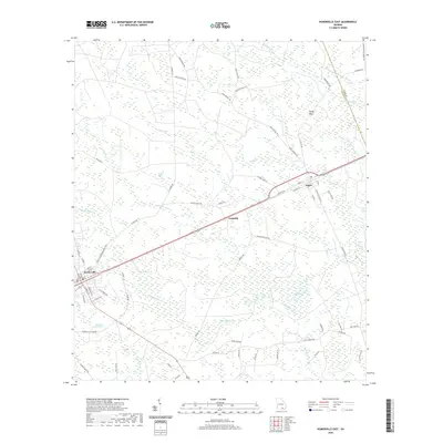 2020 Homerville East2020 Print · USGSClinch County's flatwoods and bay landscapes are captured here in the contemporary era, centered on the historic seat of Homerville. Researchers can trace old family road names and remote wetlands, including the Dickerson Millpond, Sandy Flats, and the rural community of Argyle.
 - 2020 Map of Henderson Still, 2020 Print
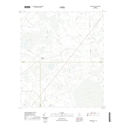 2020 Henderson Still2020 Print · USGSIn the Georgia pine belt of the late 2010s, this area spans the intersection of three counties amid a unique landscape of wetlands and bays. Genealogists and local historians can trace rural family routes like Johnson Settlement Rd and find landmarks such as Henderson Still and Arabia Swamp.
 - 2020 Map of Sandy Bottom, 2020 Print
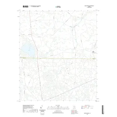 2020 Sandy Bottom2020 Print · USGSThe rural borderlands of Atkinson and Clinch Counties are captured here in the early twenty-first century, showing a landscape shaped by pine woods and vast cypress bays. Genealogists and local historians can trace family-named routes like Joe Nugent Rd or locate Guest Millpond and the settlement at Sandy Bottom.
 - 2020 Map of Sirmans, 2020 Print
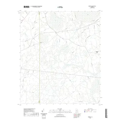 2020 Sirmans2020 Print · USGSCoastal plain wetlands and rural settlements define this area of Georgia in the late twenty-first century. Researchers can trace family history through Arabia Cem and Sirmans, or explore the unique terrain of Devils Bay and Arabia Swamp.
 - 2020 Map of Cogdell, 2020 Print
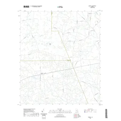 2020 Cogdell2020 Print · USGSThis Georgia lowland landscape in the early twenty-first century centers on the settlement of Cogdell at a triple-county junction. Genealogists and researchers can trace local family landholdings along Leland Bennett Rd and navigate the marshy terrain of Buzzard Bay and Suwannee Cr.
 - 2020 Map of Manor, 2020 Print
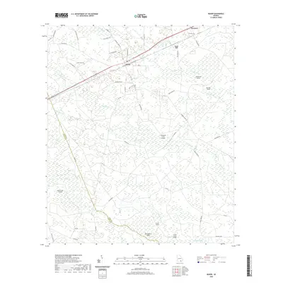 2020 Manor2020 Print · USGSCoastal plain wetlands and timberlands define the landscape near Manor and Glenmore in the twenty-first century. Genealogists and local historians can trace family road names like A P Henderson Rd and Booth Church Rd alongside the CSX Transportation line.
 - 2020 Map of Homerville West, 2020 Print
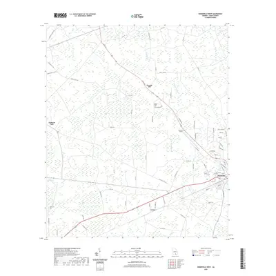 2020 Homerville West2020 Print · USGSHomerville and the surrounding Clinch County wetlands appear here in the early twenty-first century, showcasing a landscape defined by timber and swamp. Genealogists and local historians can locate Pine Forest Cem and trace old family-named routes like Arabia Courthouse Rd and the settlements at Eightmile Still and Cutting.
 - 2021 Map of Sargent, 2021 Print
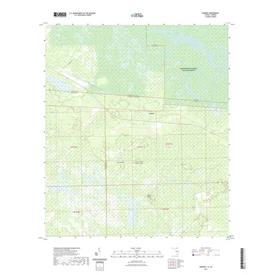 2021 Sargent2021 Print · USGSThe Florida-Georgia borderlands are captured here in the early twenty-first century, showing the remote wetlands where four counties converge. Trace the boundaries of the Okefenokee National Wildlife Refuge and locate named features like Devils Cup and Saucer Island and Sargent.
 - 2024 Map of Council, 2024 Print
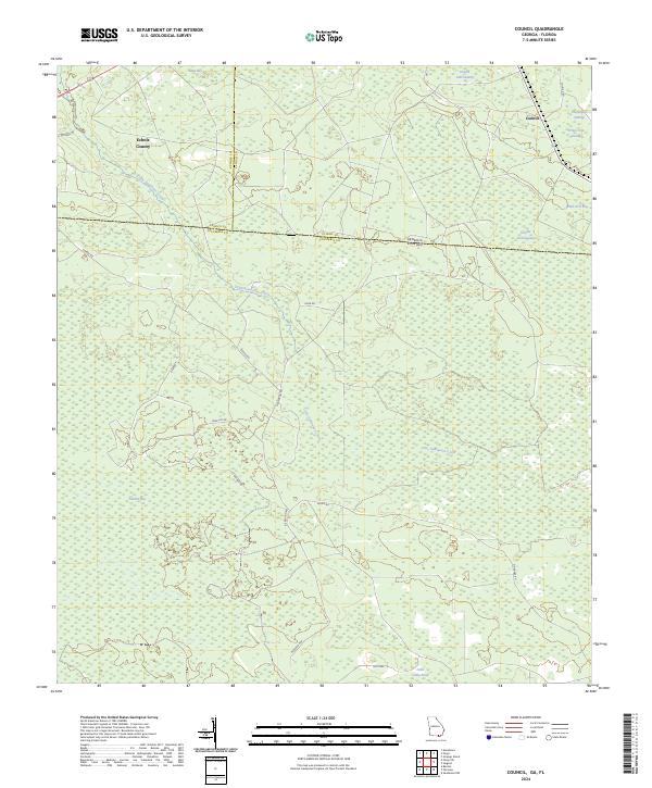 2024 Council2024 Print · USGSThe Georgia-Florida borderlands near Council are documented in this recent survey, showcasing the rural landscape at the edge of the swamp. Trace the winding path of Little Suwannee Creek or locate local landmarks like Sandlin Bay and the Okefenokee National Wildlife Refuge.
 - 2024 Map of Strange Island, 2024 Print
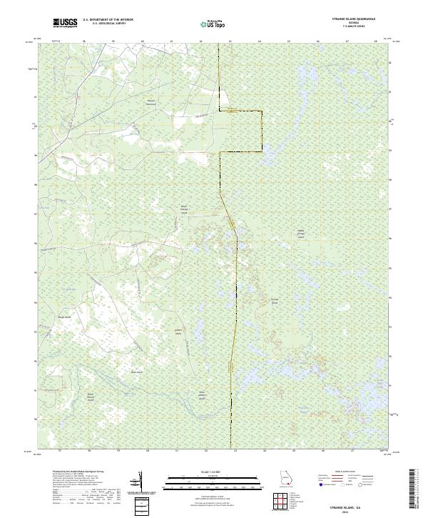 2024 Strange Island2024 Print · USGSThe Clinch and Ware county borderlands in the early twenty-first century are defined by the immense wetlands of the Okefenokee Wilderness. Researchers can trace the unique topography of the swamp through named features like Harpers Hammock, Indian Mound Island, and Rough Island.
Showing maps 1-25 of 46
Top cities of Clinch County
- Homerville historical maps
- Fargo historical maps
- Argyle historical maps
- Du Pont historical maps
- Ernest historical maps
Frequently asked questions
- What are the different types of historical maps available for Clinch County?
- What is the oldest map of Clinch County?
- Where can I purchase historical maps of Clinch County for my home or office?
- Where can I download high-res historical maps of Clinch County?
- Are there historical topographic maps available for Clinch County?
- Is there historical aerial imagery available for Clinch County?
- Where are historical maps of Clinch County sourced from?