Old Maps of Homerville, Georgia for Academic Research
Study the evolution of Homerville with 16 high-resolution historic maps. Whether you're teaching, researching, or modeling changes in land use, these maps provide essential visual documentation of urban, environmental, and geographic change.
- Analyze long-term change: Track patterns in development, transportation, and natural features.
- Ideal for environmental or urban studies: Support academic projects with primary historical map data.
- Use in the classroom or lab: Educators and researchers rely on these maps to bring historical context to life.
These maps are a powerful tool for teaching, research, and visualizing how Homerville has changed over the decades.
Homerville, GA maps
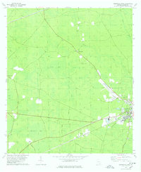
(16)- 1953 Map of Waycross, 1967 Print
 1953 Waycross1967 Print · USGSSouth Georgia's agricultural and rail heartland is captured here in the mid-1950s, showing a vast network of timber and farming towns. Researchers can trace the rail lines connecting Waycross and Tifton or locate landmarks like Jefferson Davis State Park and Lake Blackshear.2 unique versions available
 - 1958 Map of Waycross
 1958 Waycross1958 Print · USGSSoutheast Georgia in the late fifties remains a landscape of deep river basins and vital rail junctions. Genealogists and historians can trace family-named landmarks and rural hubs like Union Church, South Georgia College, and the sprawling Okefenokee Swamp.2 unique versions available
 - 1968 Map of Homerville East, 1969 Print
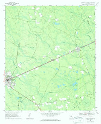 1968 Homerville East1969 Print · USGSClinch County in the late sixties shows a landscape of rail-driven settlements and expansive southern wetlands. Genealogists can locate family landmarks like New Pine Grove Ch and Shiloh Ch, or trace the rail corridor through Argyle and Travisville.3 unique versions available
 - 1978 Map of Homerville West
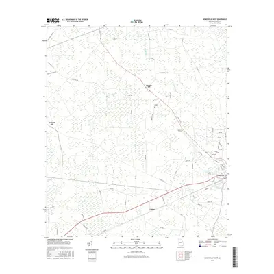
 1978 Homerville West1978 Print · USGSClinch County in the late seventies is a landscape of expansive bays and timber-related history. Researchers can locate the Pine Forest Cem, trace the Seaboard Coast Line through Homerville, or explore the curiously named Useless Bay.2 unique versions available
 - 1978 Map of Waycross, 1982 Print
 1978 Waycross1982 Print · USGSSoutheast Georgia in the late seventies is a landscape of vast wetlands and busy rail junctions. Genealogists and local historians can trace the Seaboard Coast Line through rural stops like Millwood and Pearson or locate family sites near the Okefenokee Swamp.
 - 1988 Map of Waycross
 1988 Waycross1988 Print · USGSSouth Georgia's wiregrass and timber country is documented here in the late eighties, centered on the vital rail junction of Waycross. Genealogists and historians can trace the rural landscape from Okefenokee up to the Ocmulgee, finding sites like Lumber City and Jefferson Davis Memorial State Park.
 - 2011 Map of Homerville West, 2011 Print
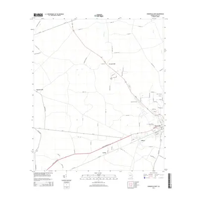
 2011 Homerville West2011 Print · USGSCovers Homerville, including Cutting, Fivemile Still, and other nearby areas
 - 2011 Map of Homerville East, 2011 Print
 2011 Homerville East2011 Print · USGSCovers Homerville, including Argyle, Travisville, and other nearby areas
 - 2014 Map of Homerville East, 2014 Print
 2014 Homerville East2014 Print · USGSCovers Homerville, including Argyle, Travisville, and other nearby areas
 - 2014 Map of Homerville West, 2014 Print
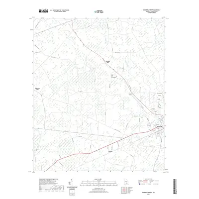
 2014 Homerville West2014 Print · USGSCovers Homerville, including Cutting, Fivemile Still, and other nearby areas
 - 2017 Map of Homerville East, 2017 Print
 2017 Homerville East2017 Print · USGSCovers Homerville, including Argyle, Travisville, and other nearby areas
 - 2017 Map of Homerville West, 2017 Print
 2017 Homerville West2017 Print · USGSCovers Homerville, including Cutting, Fivemile Still, and other nearby areas
 - 2020 Map of Homerville East, 2020 Print
 2020 Homerville East2020 Print · USGSCovers Homerville, including Argyle, Travisville, and other nearby areas
 - 2020 Map of Homerville West, 2020 Print
 2020 Homerville West2020 Print · USGSCovers Homerville, including Cutting, Fivemile Still, and other nearby areas
 - 2024 Map of Homerville East, 2024 Print
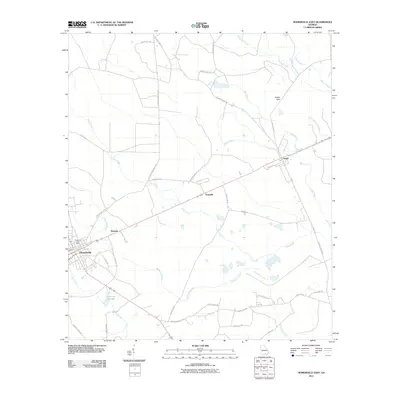
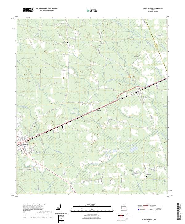 2024 Homerville East2024 Print · USGSClinch County, Georgia, is revealed in this modern survey as a landscape of interconnected wetlands and timber corridors. Researchers can locate family landmarks like the New Pine Grove Church Cem, Smith Gravesites, and the Clinch County Courthouse.
 - 2024 Map of Homerville West, 2024 Print
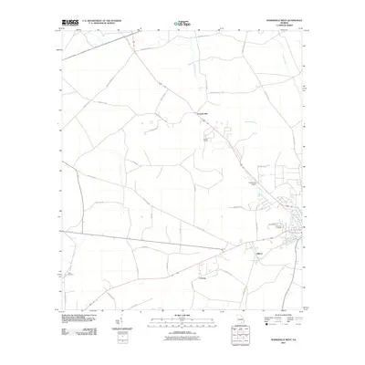
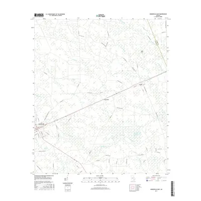
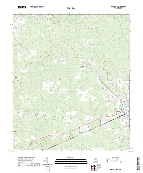 2024 Homerville West2024 Print · USGSClinch County's wiregrass and wetland landscape is documented here in the modern era, centered on the crossroads town of Homerville. Genealogists and local historians can locate rural burial grounds like Sirmans Rest Cem and trace unique terrain features like Useless Bay and Fivemile Still.
End of results
Showing maps 1-16 of 16
Top cities near Homerville
Frequently asked questions
- What are the different types of historical maps available for Homerville?
- What is the oldest map of Homerville?
- Where can I purchase historical maps of Homerville for my home or office?
- Where can I download high-res historical maps of Homerville?
- Are there historical topographic maps available for Homerville?
- Is there historical aerial imagery available for Homerville?
- Where are historical maps of Homerville sourced from?