
1968 Map of Homerville East
USGS Topo · Published 1969About this map
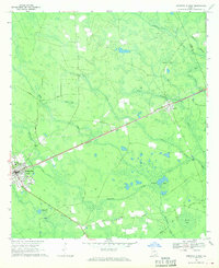
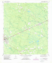
Homerville serves as the focal point for this late-1960s survey of southern Georgia, where the local economy and geography are defined by the Seaboard Coast Line railroad. This steel corridor connects the settlements of Travisville and Argyle, cutting through a landscape dominated by poorly drained depressions and wetlands such as Isiac Bay, Devils Bay, and Bunkle Bay. The map provides specific location data for civic institutions, including the Clinch Mem Hosp and the Sewage Disposal plant serving the Homerville community.
Find a feature on this map
30 named features on this map. Tap any name to fly to it.
Don’t see what you’re looking for? This feature index may not catch every label — zoom into the map to look around manually.
Map Details
Editions of this 1968 Homerville East Map
Other maps of this area

1953 · Waycross
USGS Topo · 1:250,000

1954 · Valdosta
USGS Topo · 1:250,000

1958 · Valdosta
USGS Topo · 1:250,000

1958 · Waycross
USGS Topo · 1:250,000

1959 · Valdosta
USGS Topo · 1:250,000

1967 · Spooner
USGS Topo · 1:24,000

1967 · Pine Valley
USGS Topo · 1:24,000

1968 · Midway
USGS Topo · 1:24,000

1968 · Manor
USGS Topo · 1:24,000

1968 · Cogdell
USGS Topo · 1:24,000