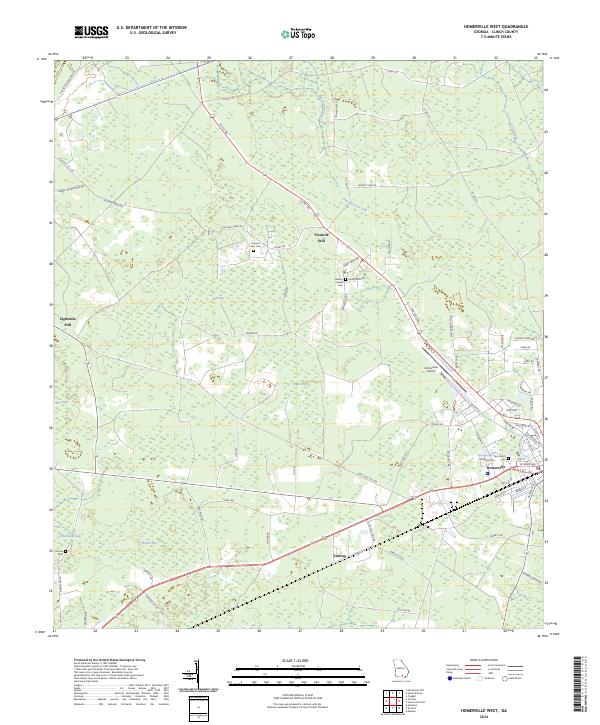
2024 Map of Homerville West
USGS Topo · Published 2024About this map
Homerville serves as the primary hub in this Georgia landscape, situated at the junction of several regional routes and the local rail line. The surrounding Clinch County terrain is defined by a series of low-lying wetland features known as bays, including the curiously named Useless Bay, Light Bay, and Skinner Bay. These natural depressions are interspersed with small settlements such as Fivemile Still and Eightmile Still, whose names likely reflect the area's historical connection to naval stores or local industry distances. For those researching family history in the wiregrass region, the map identifies several critical burial sites, including Sirmans Rest Cem near Averitt Farm Road and Holmes Chapel Cem. The southeastern corner of the sheet transitions into the residential and municipal core of the town, featuring the Homerville Airport and Pine Forest Cem.
Find a feature on this map
77 named features on this map. Tap any name to fly to it.
Don’t see what you’re looking for? This feature index may not catch every label — zoom into the map to look around manually.
Map Details
Editions of this 2024 Homerville West Map
This is the sole edition of this map. No revisions or reprints were ever made.
Other maps of this area

1953 · Waycross
USGS Topo · 1:250,000

1954 · Valdosta
USGS Topo · 1:250,000

1958 · Valdosta
USGS Topo · 1:250,000

1958 · Waycross
USGS Topo · 1:250,000

1959 · Valdosta
USGS Topo · 1:250,000

1968 · Homerville East
USGS Topo · 1:24,000

1968 · Midway
USGS Topo · 1:24,000

1968 · Cogdell
USGS Topo · 1:24,000

1971 · Du Pont
USGS Topo · 1:24,000

1971 · Stockton
USGS Topo · 1:24,000