2000s (21st Century) Maps of Austell, Georgia
Explore 10 historic maps of Austell from the 2000s (21st Century). These maps offer a rare glimpse into what life looked like during the 2000s — showing old roads, neighborhoods, homes, and landmarks that have changed or disappeared over time.
Whether you're researching your family's past, planning a metal detecting trip, or studying how Austell's landscape evolved across the 2000s, these high-resolution maps are a powerful tool for exploring the history of this region.
- Focus on a specific era: All maps on this page are from the 2000s, giving you a focused view of this time period.
- See what’s changed: Compare century-old streets, trails, and buildings to today's modern landscape using overlays and satellite layers.
- Research with precision: Use these maps for genealogy, historical research, land use analysis, or educational projects.
- View, download, or print: Maps are fully viewable online in high resolution, and can be downloaded or printed for your own records.
Start exploring Austell's history through authentic maps from the 2000s. This is your window into the past.
Austell, GA maps
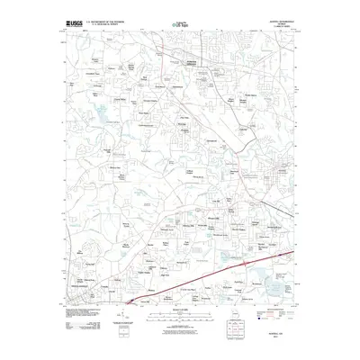
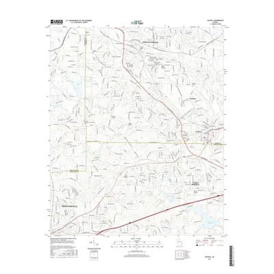
(10)- 2011 Map of Mableton, 2011 Print
 2011 Mableton2011 Print · USGSCovers Austell, including Atlanta, Smyrna, and other nearby areas
 - 2011 Map of Austell, 2011 Print
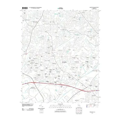
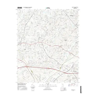
 2011 Austell2011 Print · USGSCovers Austell, including Douglasville, Lithia Springs, and other nearby areas
 - 2014 Map of Austell, 2014 Print
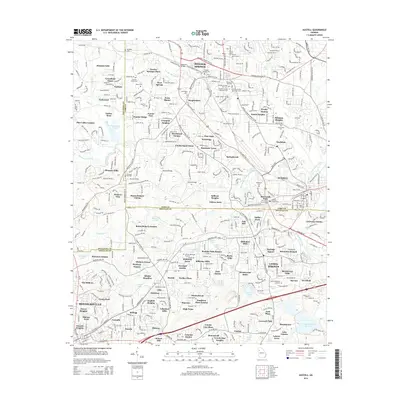 2014 Austell2014 Print · USGSCovers Austell, including Douglasville, Lithia Springs, and other nearby areas
 - 2014 Map of Mableton, 2014 Print
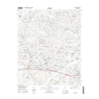 2014 Mableton2014 Print · USGSCovers Austell, including Atlanta, Smyrna, and other nearby areas
 - 2017 Map of Mableton, 2017 Print
 2017 Mableton2017 Print · USGSCovers Austell, including Atlanta, Smyrna, and other nearby areas
 - 2017 Map of Austell, 2017 Print
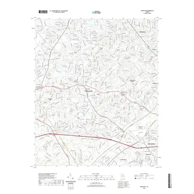
 2017 Austell2017 Print · USGSCovers Austell, including Douglasville, Lithia Springs, and other nearby areas
 - 2020 Map of Mableton, 2020 Print
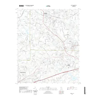
 2020 Mableton2020 Print · USGSCovers Austell, including Atlanta, Smyrna, and other nearby areas
 - 2020 Map of Austell, 2020 Print
 2020 Austell2020 Print · USGSCovers Austell, including Douglasville, Lithia Springs, and other nearby areas
 - 2024 Map of Mableton, 2024 Print
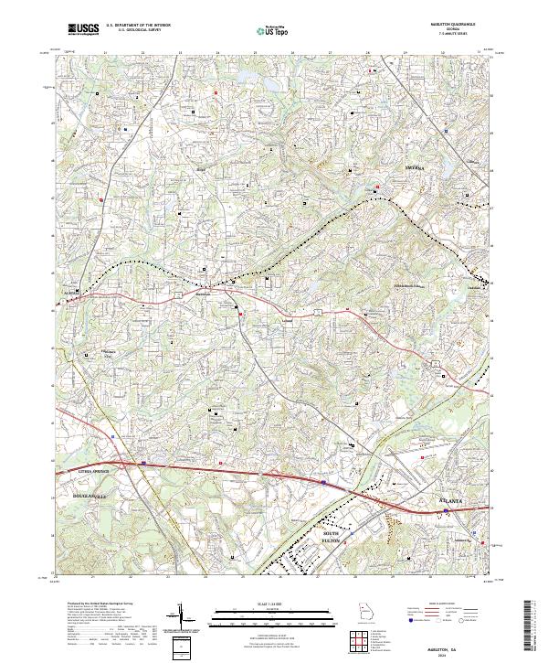 2024 Mableton2024 Print · USGSGreater Atlanta and Mableton come into focus in the early twenty-first century, showing the intersection of historical river crossings and modern growth. Genealogists can trace family heritage through local landmarks like Little Bethel Cem, Turner Ferry, and Trinity United Methodist Church.
 - 2024 Map of Austell, 2024 Print
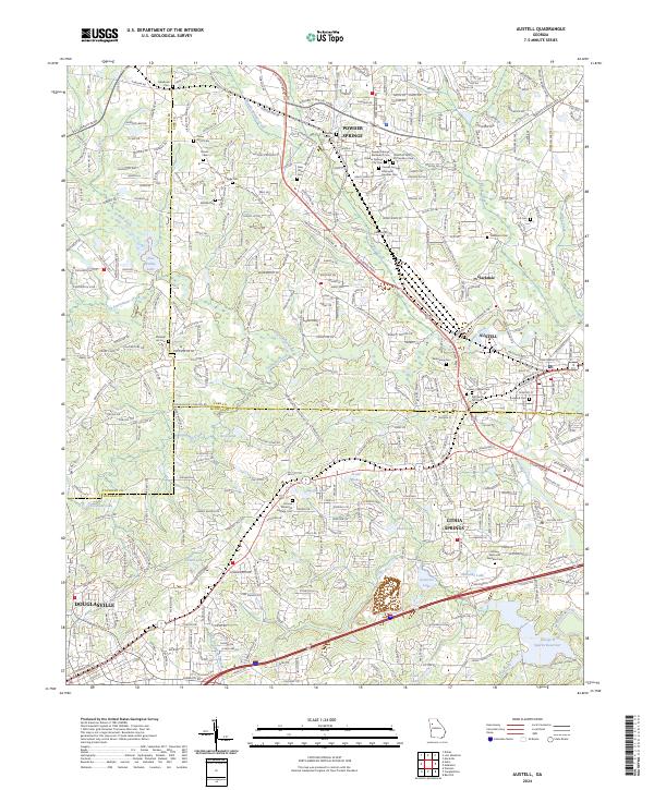 2024 Austell2024 Print · USGSThe growing communities of West Georgia are documented here in the early twenty-first century as suburban expansion meets the region's deep roots. Genealogists and local historians can trace dozens of burial sites, including Old Smith Hill Cem, Causey Chapel Cem, and Rose Hill Cem.
End of results
Showing maps 1-10 of 10
Top cities near Austell
- Atlanta historical maps
- Sandy Springs historical maps
- Roswell historical maps
- Marietta historical maps
- Smyrna historical maps
- Mableton historical maps
See more
Top neighborhoods of Austell
Frequently asked questions
- What are the different types of historical maps available for Austell?
- What is the oldest map of Austell?
- Where can I purchase historical maps of Austell for my home or office?
- Where can I download high-res historical maps of Austell?
- Are there historical topographic maps available for Austell?
- Is there historical aerial imagery available for Austell?
- Where are historical maps of Austell sourced from?