2020s Maps of Colquitt County, Georgia
Explore 30 historic maps of Colquitt County from the 2020s. These maps offer a rare glimpse into what life looked like during the 2020s — showing old roads, neighborhoods, homes, and landmarks that have changed or disappeared over time.
Whether you're researching your family's past, planning a metal detecting trip, or studying how Colquitt County's landscape evolved across the 2020s, these high-resolution maps are a powerful tool for exploring the history of this region.
- Focus on a specific era: All maps on this page are from the 2020s, giving you a focused view of this time period.
- See what’s changed: Compare century-old streets, trails, and buildings to today's modern landscape using overlays and satellite layers.
- Research with precision: Use these maps for genealogy, historical research, land use analysis, or educational projects.
- View, download, or print: Maps are fully viewable online in high resolution, and can be downloaded or printed for your own records.
Start exploring Colquitt County's history through authentic maps from the 2020s. This is your window into the past.
Colquitt County, GA maps
(30)- 2020 Map of Doerun, 2020 Print
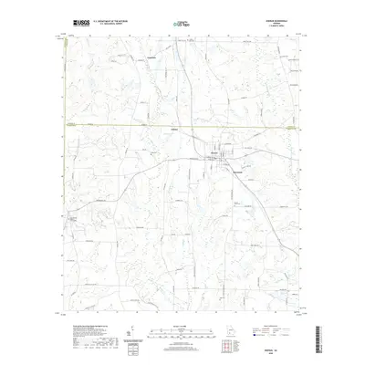 2020 Doerun2020 Print · USGSThe crossroads of Doerun and the surrounding Georgia countryside are captured here in the modern era. Genealogists can locate several family and community burial sites, from Duncan Smith Cem to the Cool Springs Baptist Church Cem.
 - 2020 Map of Hartsfield, 2020 Print
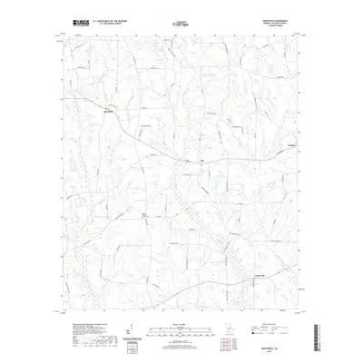 2020 Hartsfield2020 Print · USGSColquitt County agricultural lands are captured here in the contemporary era, showing the enduring layout of rural Georgia crossroads. Researchers can locate family landmarks and burial sites like the Rose Hill Baptist Church Cem or trace the winding course of the Little Ochlockonee River.
 - 2020 Map of Chastain, 2020 Print
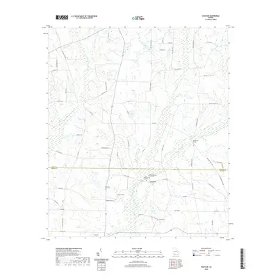 2020 Chastain2020 Print · USGSThe river plains of South Georgia near Chastain come into focus during this recent survey of the Colquitt and Thomas county line. Researchers can trace rural lineages through the Big Ochlockonee Cemetery and old crossings like Watson Bridge.
 - 2020 Map of Omega, 2020 Print
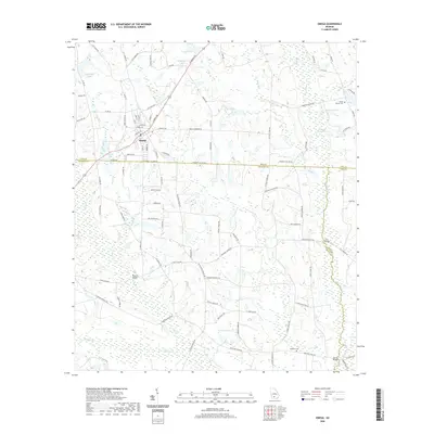 2020 Omega2020 Print · USGSOmega sits at the junction of Tift and Colquitt counties in the twenty-first century, surrounded by a complex network of southern creeks and wetlands. Researchers can trace family roots at Mount Vernon Cem and locate rural landmarks like Powells Bridge and Rutland Lake.
 - 2020 Map of Norman Park, 2020 Print
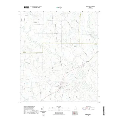 2020 Norman Park2020 Print · USGSSouthern Colquitt County enters the twenty-first century as a landscape of established family farms and rural communities. Genealogists can trace local heritage through numerous burial sites like Rocky Creek Church Cem and Tompkins Cem.
 - 2020 Map of Coolidge, 2020 Print
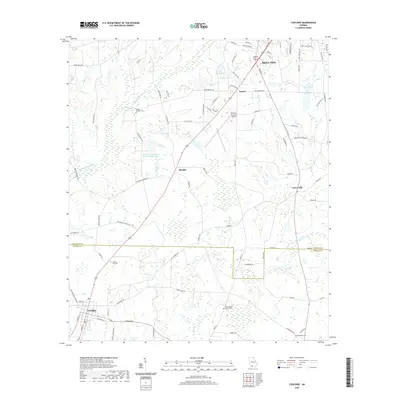 2020 Coolidge2020 Print · USGSThis South Georgia landscape captures the rural communities and family-named homesteads between Moultrie and Coolidge in 2020. Local researchers can trace family roots through sites like Shade Murphy Cem, Evergreen Cem, and Enon Baptist Church Cem.
 - 2020 Map of Moultrie, 2020 Print
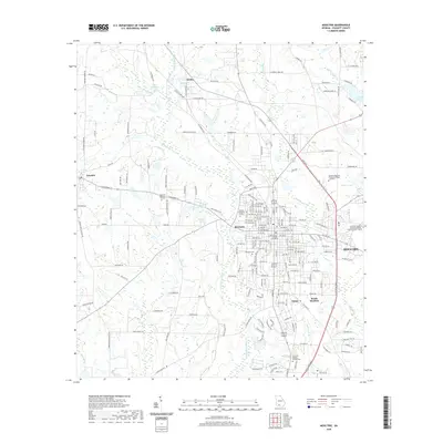 2020 Moultrie2020 Print · USGSMoultrie and its surrounding Georgia townships are shown here in the early twenty-first century as the region remains a vital hub of Colquitt County. Researchers can trace local landmarks from the Colquitt County Courthouse to rural features like Giles Millpond and Westview Cemetery.
 - 2020 Map of Sigsbee, 2020 Print
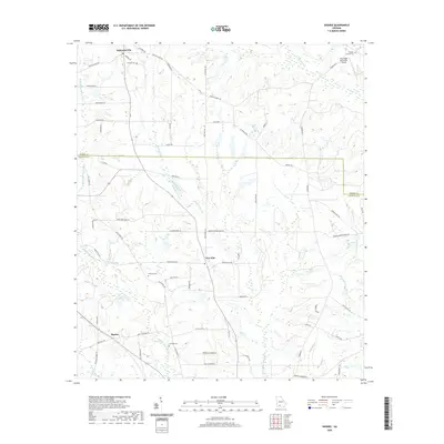 2020 Sigsbee2020 Print · USGSColquitt and Worth counties are captured here in the modern era, showing a landscape of quiet rural hamlets and agricultural tradition. Genealogists can locate family landmarks like Wrights Chapel Cemetery and trace the paths of Okapilco Creek and the Little Ochlockonee River.
 - 2020 Map of Berlin East, 2020 Print
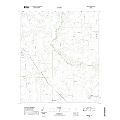 2020 Berlin East2020 Print · USGSSouthern Georgia's agricultural heartland at the Colquitt and Brooks County lines is detailed here just before the turn of the decade. Researchers can trace rural property access and family history through landmarks like Antioch Cem, New Rock Hill, and the Burney Bridge crossing.
 - 2020 Map of Pineboro, 2020 Print
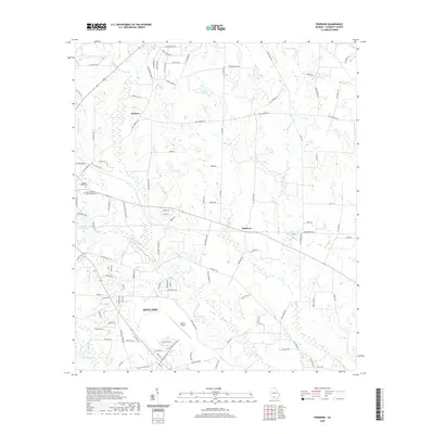 2020 Pineboro2020 Print · USGSColquitt County, Georgia, is mapped here in the modern era, showing the northward expansion of Moultrie toward the communities of Pineboro and Barbers. Genealogists and local historians can locate Pleasant Grove Cem and trace the extensive grounds of Spence Airport.
 - 2020 Map of Cotton, 2020 Print
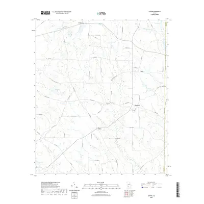 2020 Cotton2020 Print · USGSMitchell County in recent years remains a landscape of deep-rooted farming communities and winding creek beds. Family historians can trace ancestral sites through Akridge Cem and Liberty Hill Cem, or explore old crossroads like Hinsonton and Cotton.
 - 2020 Map of Sale City, 2020 Print
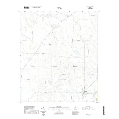 2020 Sale City2020 Print · USGSMitchell County near the turn of the decade is defined by rural crossroads and the winding Little Ochlockonee River. Genealogists and local historians can trace family locations near Shady Grove Cem, Sale City, and the karst terrain of Oaky Sinks.
 - 2020 Map of Meigs, 2020 Print
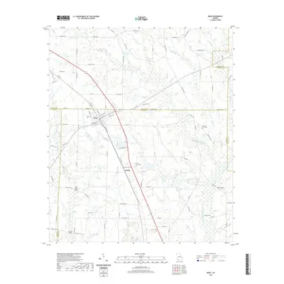 2020 Meigs2020 Print · USGSMeigs occupies a unique corner of Georgia where four counties converge at the turn of the twenty-first century. Genealogists and local historians can trace family locations through sites like Sunset Cem, Midway Church Cem, and the small settlement at Quality.
 - 2020 Map of Ellenton, 2020 Print
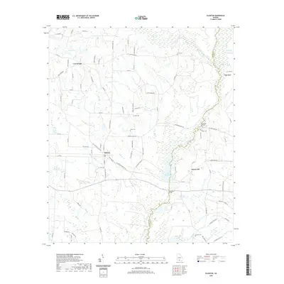 2020 Ellenton2020 Print · USGSThe rural crossing at Ellenton and the winding Little River border characterize this Colquitt County landscape in the modern era. Researchers can locate family landmarks like Baker Cem and Vickers Cem or trace the riparian wetlands around Reed Bingham Park Lake.
 - 2020 Map of Berlin West, 2020 Print
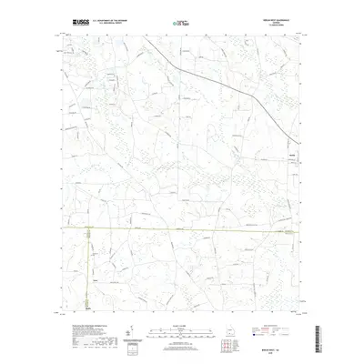 2020 Berlin West2020 Print · USGSThe rural borders of Colquitt, Thomas, and Brooks counties come together in this recent survey of the South Georgia countryside. Genealogists and local historians can trace family-named roads and sites like Hopewell Cemetery and the settlement of Ione.
 - 2024 Map of Hartsfield, 2024 Print
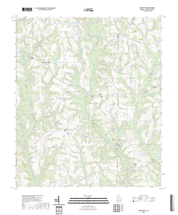 2024 Hartsfield2024 Print · USGSGeorgia's agricultural heartland is documented here in the early twenty-first century, showing the rural communities of Colquitt County. Researchers can trace family history through the Marchant Family Cem and churches like Oak Grove Baptist Church.
 - 2024 Map of Coolidge, 2024 Print
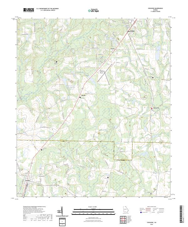 2024 Coolidge2024 Print · USGSCrossing the line between Thomas and Colquitt counties in the twenty-first century, this landscape shows a legacy of family farming and rural settlement. Genealogists can trace family roots at Murphy Family Cem, Enon Cem, and Greenfield Cem near Autreyville.
 - 2024 Map of Pineboro, 2024 Print
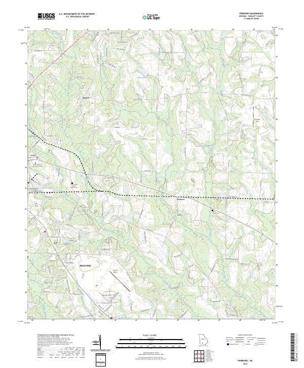 2024 Pineboro2024 Print · USGSThe northern outskirts of Moultrie and the surrounding Colquitt County farmland are documented in this contemporary survey. Genealogists and local historians can trace legacy sites like Mount Olive Baptist Church Cem and the small settlement of Pineboro.
 - 2024 Map of Berlin East, 2024 Print
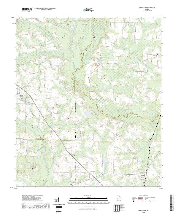 2024 Berlin East2024 Print · USGSThe crossroads of Brooks and Colquitt Counties are mapped in this modern survey of south-central Georgia. Local researchers can trace family roots through landmarks like Hempstead Church Cem, the settlement of Barney, and Strickland Cem near New Rock Hill.
 - 2024 Map of Sigsbee, 2024 Print
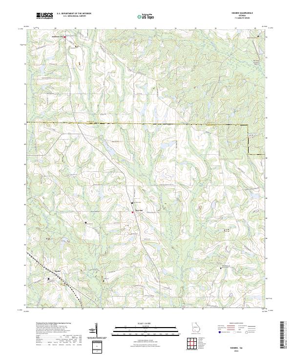 2024 Sigsbee2024 Print · USGSColquitt and Worth counties are captured here in the 2020s, showing a landscape defined by traditional family farming and quiet rural settlements. Researchers can trace local heritage through numerous burial sites like Kimball Cem and family road names such as Rob Bennett Rd.
 - 2024 Map of Chastain, 2024 Print
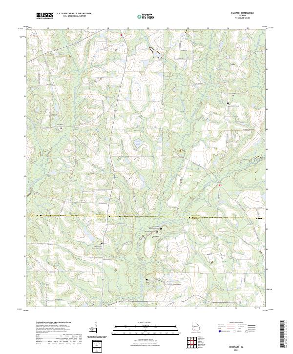 2024 Chastain2024 Print · USGSThe borderlands of Colquitt and Thomas counties are captured in this recent survey of a rural Georgia community. Genealogists and local historians can trace family ties through landmarks like Mount Zion Primitive Baptist Church, Big Ochlocknee Cem, and Chastain.
 - 2024 Map of Berlin West, 2024 Print
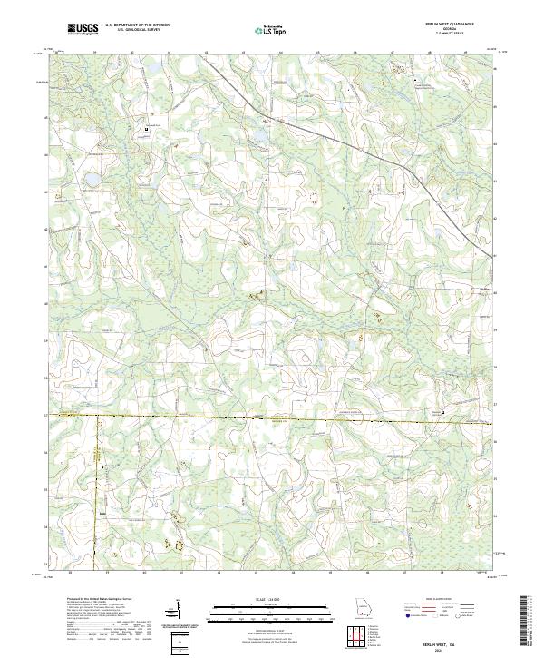 2024 Berlin West2024 Print · USGSCoastal plain agriculture and quiet country settlements define this Georgia landscape where three counties meet. Genealogists can trace family roots at the Indian Creek Primitive Baptist Church or find burial sites at Prosperity Cem and Hopewell Cem.
 - 2024 Map of Doerun, 2024 Print
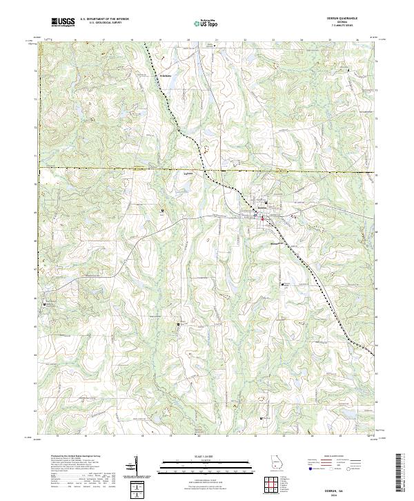 2024 Doerun2024 Print · USGSThe agricultural heart of Colquitt and Worth counties is captured in this recent survey of the Southwest Georgia plains. Genealogists can locate family landmarks like the Marchant Family Cem, Pitts Cem, and the rural community at Minnesota.
 - 2024 Map of Omega, 2024 Print
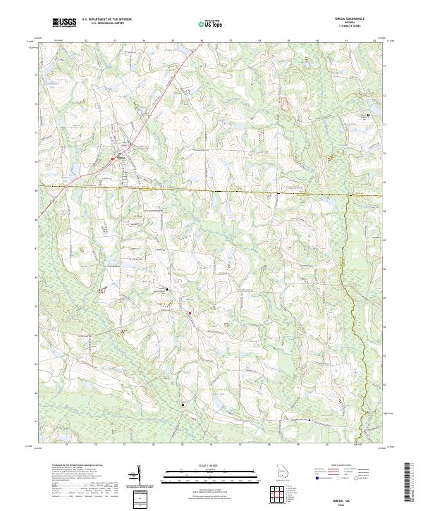 2024 Omega2024 Print · USGSCoastal plain agriculture and deep-rooted family settlements define this Tift County landscape in the early twenty-first century. Genealogists can trace rural heritage through sites like Antioch Baptist Church, Leila Cem, and the McMillan Family Cem.
 - 2024 Map of Sale City, 2024 Print
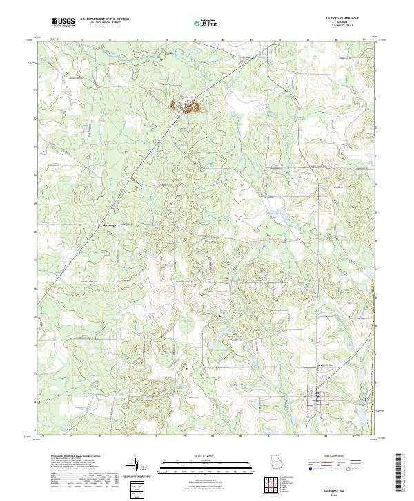 2024 Sale City2024 Print · USGSMitchell County farmland and the community of Sale City are captured in this modern survey of Southwest Georgia. Genealogists and local historians can trace family locations near Shady Grove Cem, Oaky Sinks, and the banks of the Little Ochlockonee River.
Showing maps 1-25 of 30
Top cities of Colquitt County
- Moultrie historical maps
- Norman Park historical maps
- Doerun historical maps
- Berlin historical maps
- Funston historical maps
- Ellenton historical maps
See more
Frequently asked questions
- What are the different types of historical maps available for Colquitt County?
- What is the oldest map of Colquitt County?
- Where can I purchase historical maps of Colquitt County for my home or office?
- Where can I download high-res historical maps of Colquitt County?
- Are there historical topographic maps available for Colquitt County?
- Is there historical aerial imagery available for Colquitt County?
- Where are historical maps of Colquitt County sourced from?