2000s (21st Century) Maps of Moultrie, Georgia
Explore 20 historic maps of Moultrie from the 2000s (21st Century). These maps offer a rare glimpse into what life looked like during the 2000s — showing old roads, neighborhoods, homes, and landmarks that have changed or disappeared over time.
Whether you're researching your family's past, planning a metal detecting trip, or studying how Moultrie's landscape evolved across the 2000s, these high-resolution maps are a powerful tool for exploring the history of this region.
- Focus on a specific era: All maps on this page are from the 2000s, giving you a focused view of this time period.
- See what’s changed: Compare century-old streets, trails, and buildings to today's modern landscape using overlays and satellite layers.
- Research with precision: Use these maps for genealogy, historical research, land use analysis, or educational projects.
- View, download, or print: Maps are fully viewable online in high resolution, and can be downloaded or printed for your own records.
Start exploring Moultrie's history through authentic maps from the 2000s. This is your window into the past.
Moultrie, GA maps
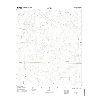
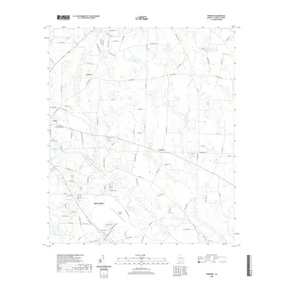
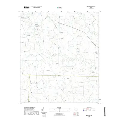
(20)- 2011 Map of Berlin West, 2011 Print
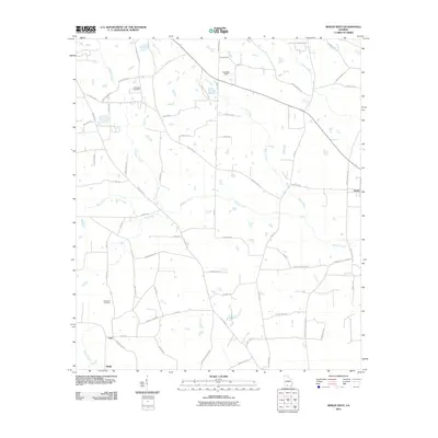 2011 Berlin West2011 Print · USGSCovers Moultrie, including Berlin, Ione, and other nearby areas
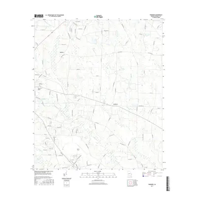
 - 2011 Map of Pineboro, 2011 Print
 2011 Pineboro2011 Print · USGSCovers Moultrie, including Pineboro, Barbers, and other nearby areas
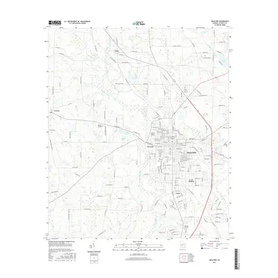
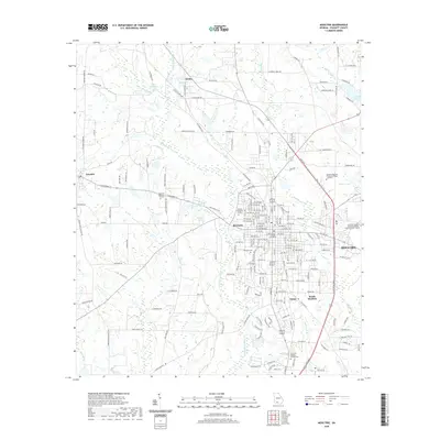
 - 2011 Map of Moultrie, 2011 Print
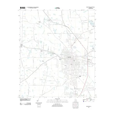 2011 Moultrie2011 Print · USGSCovers Moultrie, including Funston, Riverside, and other nearby areas
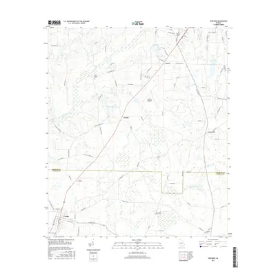
 - 2011 Map of Coolidge, 2011 Print
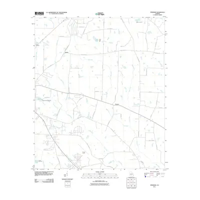
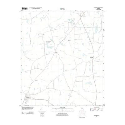 2011 Coolidge2011 Print · USGSCovers Moultrie, including Coolidge, Autreyville, and other nearby areas
 - 2014 Map of Coolidge, 2014 Print
 2014 Coolidge2014 Print · USGSCovers Moultrie, including Coolidge, Autreyville, and other nearby areas
 - 2014 Map of Pineboro, 2014 Print
 2014 Pineboro2014 Print · USGSCovers Moultrie, including Pineboro, Barbers, and other nearby areas
 - 2014 Map of Moultrie, 2014 Print
 2014 Moultrie2014 Print · USGSCovers Moultrie, including Funston, Riverside, and other nearby areas
 - 2014 Map of Berlin West, 2014 Print
 2014 Berlin West2014 Print · USGSCovers Moultrie, including Berlin, Ione, and other nearby areas
 - 2017 Map of Berlin West, 2017 Print
 2017 Berlin West2017 Print · USGSCovers Moultrie, including Berlin, Ione, and other nearby areas
 - 2017 Map of Pineboro, 2017 Print
 2017 Pineboro2017 Print · USGSCovers Moultrie, including Pineboro, Barbers, and other nearby areas
 - 2017 Map of Moultrie, 2017 Print
 2017 Moultrie2017 Print · USGSCovers Moultrie, including Funston, Riverside, and other nearby areas
 - 2017 Map of Coolidge, 2017 Print
 2017 Coolidge2017 Print · USGSCovers Moultrie, including Coolidge, Autreyville, and other nearby areas
 - 2020 Map of Coolidge, 2020 Print
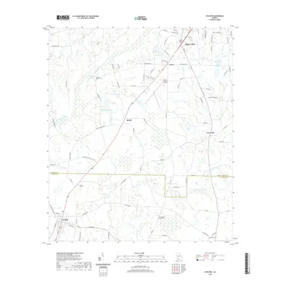 2020 Coolidge2020 Print · USGSCovers Moultrie, including Coolidge, Autreyville, and other nearby areas
 - 2020 Map of Moultrie, 2020 Print
 2020 Moultrie2020 Print · USGSCovers Moultrie, including Funston, Riverside, and other nearby areas
 - 2020 Map of Pineboro, 2020 Print
 2020 Pineboro2020 Print · USGSCovers Moultrie, including Pineboro, Barbers, and other nearby areas
 - 2020 Map of Berlin West, 2020 Print
 2020 Berlin West2020 Print · USGSCovers Moultrie, including Berlin, Ione, and other nearby areas
 - 2024 Map of Coolidge, 2024 Print
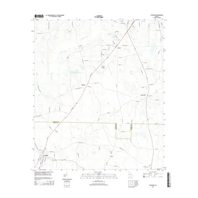
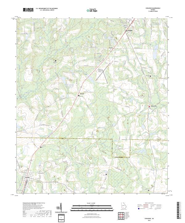 2024 Coolidge2024 Print · USGSCrossing the line between Thomas and Colquitt counties in the twenty-first century, this landscape shows a legacy of family farming and rural settlement. Genealogists can trace family roots at Murphy Family Cem, Enon Cem, and Greenfield Cem near Autreyville.
 - 2024 Map of Pineboro, 2024 Print
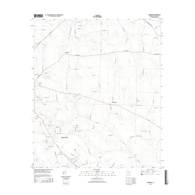
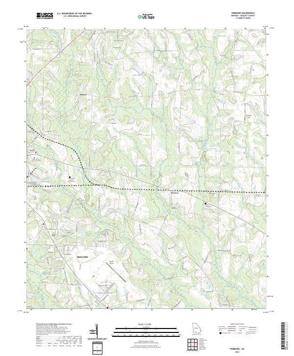 2024 Pineboro2024 Print · USGSThe northern outskirts of Moultrie and the surrounding Colquitt County farmland are documented in this contemporary survey. Genealogists and local historians can trace legacy sites like Mount Olive Baptist Church Cem and the small settlement of Pineboro.
 - 2024 Map of Berlin West, 2024 Print
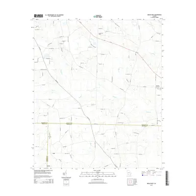
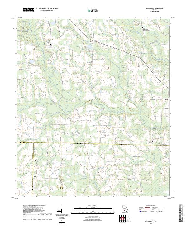 2024 Berlin West2024 Print · USGSCoastal plain agriculture and quiet country settlements define this Georgia landscape where three counties meet. Genealogists can trace family roots at the Indian Creek Primitive Baptist Church or find burial sites at Prosperity Cem and Hopewell Cem.
 - 2024 Map of Moultrie, 2024 Print
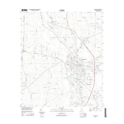
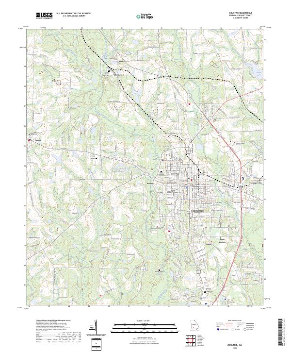 2024 Moultrie2024 Print · USGSThe Colquitt County area is shown in high detail during its modern period of growth and rural preservation. Genealogists and local historians can trace family locations through sites like Midway Freewill Baptist Church Cem, Schley, and the Ochlockonee River.
End of results
Showing maps 1-20 of 20
Top cities near Moultrie
- Omega historical maps
- Norman Park historical maps
- Doerun historical maps
- Berlin historical maps
- Coolidge historical maps
- Funston historical maps
See more
Top neighborhoods of Moultrie
Frequently asked questions
- What are the different types of historical maps available for Moultrie?
- What is the oldest map of Moultrie?
- Where can I purchase historical maps of Moultrie for my home or office?
- Where can I download high-res historical maps of Moultrie?
- Are there historical topographic maps available for Moultrie?
- Is there historical aerial imagery available for Moultrie?
- Where are historical maps of Moultrie sourced from?