Old Maps of Guyton, Georgia for Hiking & Exploration
Hike through history with 21 historic maps of Guyton. Explore old trails, ghost towns, and forgotten backroads — perfect for outdoor adventurers and local explorers.
- Rediscover forgotten places: Map out old mining camps, roads, and footpaths that no longer exist on modern maps.
- Layer with modern tools: Combine with LiDAR or satellite views to plan hikes through historical terrain.
- Made for exploration: Popular among hikers, overlanders, and local history lovers.
Use these maps to find adventure and explore the hidden past of Guyton.
Guyton, GA maps
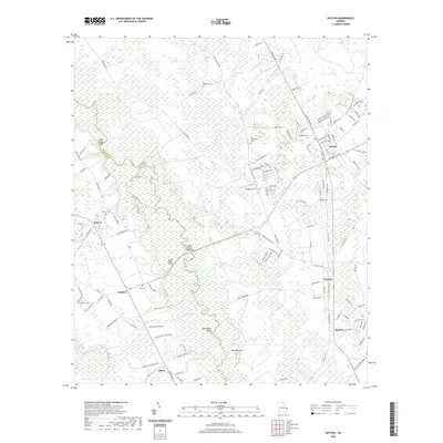
(21)- 1919 Map of Egypt
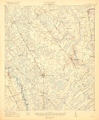 1919 Egypt1919 Print · USGSEffingham County during the late teens was a thriving network of river landings and competing railroad lines. Genealogists can trace family names at local landmarks like Dasher School, Bethel Church, and riverside hubs like Joe Cone Landing.3 unique versions available
 - 1939 Map of Egypt, 1957 Print
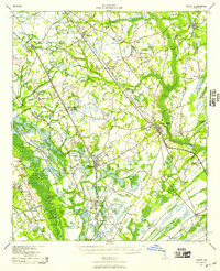 1939 Egypt1957 Print · USGSEffingham County in the late thirties is a region defined by its river landings and a growing network of roads and rails. Genealogists can locate family landmarks such as Turkey Creek Church, Shiloh School, and the Georgia and Florida RR.
 - 1943 Map of Egypt
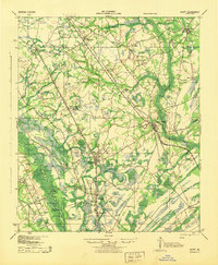 1943 Egypt1943 Print · USGSEffingham County during the mid-forties shows a landscape shaped by river landings and the timber-hauling rail lines. Genealogists and historians can trace the positions of family-named landmarks like St Peters Bluff and rural institutions such as Laurel Hill Ch or Midway Sch.
 - 1947 Map of Savannah
 1947 Savannah1947 Print · USGSCoastal Georgia and South Carolina are captured here in the mid-forties, showing the rail-and-river networks of the Lowcountry. Genealogists and researchers can trace old crossroads and river towns from Statesboro to Beaufort, alongside military sites like Camp Stewart and Parris Island.
 - 1948 Map of Savannah
 1948 Savannah1948 Print · USGSThe Georgia and South Carolina Lowcountry comes alive in this post-war survey of the coast and its river-fed hinterlands. Genealogists and historians can trace rail lines like the Central of Georgia RR and find established settlements such as Isle of Hope and Sylvania.
 - 1957 Map of Savannah, 1967 Print
 1957 Savannah1967 Print · USGSThe Lowcountry and Georgia coastal plain are shown here in the late fifties, prior to modern expansion. Researchers can trace the rail-and-river economy through the Central of Georgia lines and the Ogeechee River wetlands.4 unique versions available
 - 1960 Map of Savannah
 1960 Savannah1960 Print · USGSCoastal Georgia and the South Carolina Lowcountry are captured in the late fifties, showcasing the intricate web of islands and tidal rivers before modern expansion. Researchers can trace the rail lines of the Atlantic Coast Line or locate sites like Parris Island, Beaufort, and the Tybee Lighthouse.
 - 1961 Map of Savannah
 1961 Savannah1961 Print · USGSThe Georgia and South Carolina Lowcountry comes alive in this mid-century survey of coastal marshes, barrier islands, and river networks. Genealogists and historians can trace the paths of the Seaboard Air Line RR, locate family sites near Isle of Hope, or study the grounds of Fort Stewart Military Reservation.2 unique versions available
 - 1978 Map of Guyton
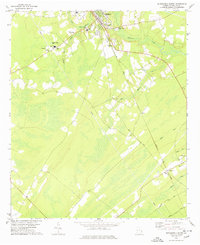
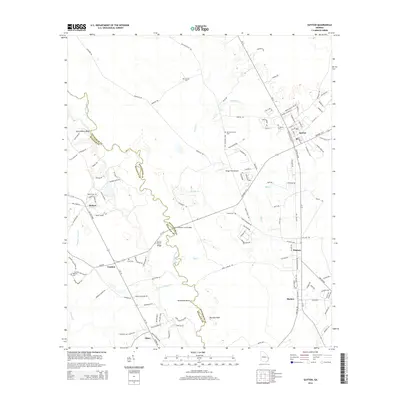
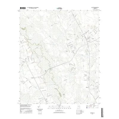
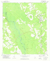 1978 Guyton1978 Print · USGSEffingham and Bulloch counties are documented here in the late 1970s, as the Ogeechee River snakes past historic river landings. Genealogists and local historians can trace family-named sites like Ferguson Cem, St Peters Bluff, and the Old Railroad Grade connecting Pineora and Marlow.
 - 1978 Map of Springfield South
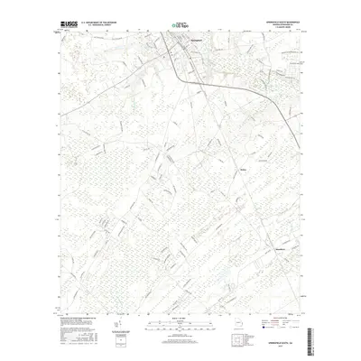
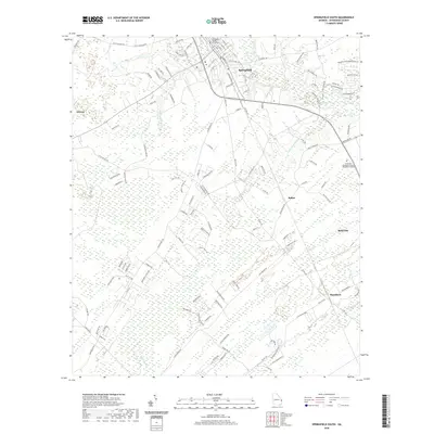
 1978 Springfield South1978 Print · USGSEffingham County in the late seventies reveals a landscape of growing towns and established rail corridors. Genealogists can locate family landmarks such as Effingham Academy, Goodwill Ch, and several rural Cem sites tucked along Ebenezer Creek.
 - 1981 Map of Savannah, 1982 Print
 1981 Savannah1982 Print · USGSCoastal Georgia and the South Carolina borderlands are captured here in the early eighties, showing the region's complex network of riverine islands and military installations. Researchers can trace the rail lines of the Central of Georgia and explore sites like Fort Stewart Military Reservation and Garden City.
 - 2011 Map of Springfield South, 2011 Print
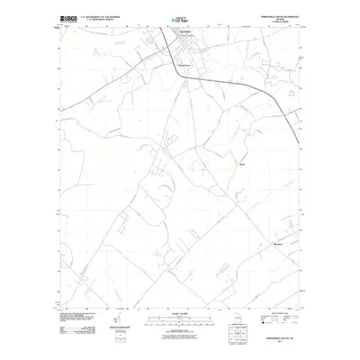 2011 Springfield South2011 Print · USGSCovers Guyton, including Rincon, Springfield, and other nearby areas
 - 2011 Map of Guyton, 2011 Print
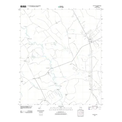 2011 Guyton2011 Print · USGSCovers Guyton, including Marlow, Olney, and other nearby areas
 - 2014 Map of Springfield South, 2014 Print
 2014 Springfield South2014 Print · USGSCovers Guyton, including Rincon, Springfield, and other nearby areas
 - 2014 Map of Guyton, 2014 Print
 2014 Guyton2014 Print · USGSCovers Guyton, including Marlow, Olney, and other nearby areas
 - 2017 Map of Springfield South, 2017 Print
 2017 Springfield South2017 Print · USGSCovers Guyton, including Rincon, Springfield, and other nearby areas
 - 2017 Map of Guyton, 2017 Print
 2017 Guyton2017 Print · USGSCovers Guyton, including Marlow, Olney, and other nearby areas
 - 2020 Map of Springfield South, 2020 Print
 2020 Springfield South2020 Print · USGSCovers Guyton, including Rincon, Springfield, and other nearby areas
 - 2020 Map of Guyton, 2020 Print
 2020 Guyton2020 Print · USGSCovers Guyton, including Marlow, Olney, and other nearby areas
 - 2024 Map of Springfield South, 2024 Print
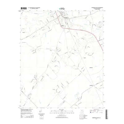
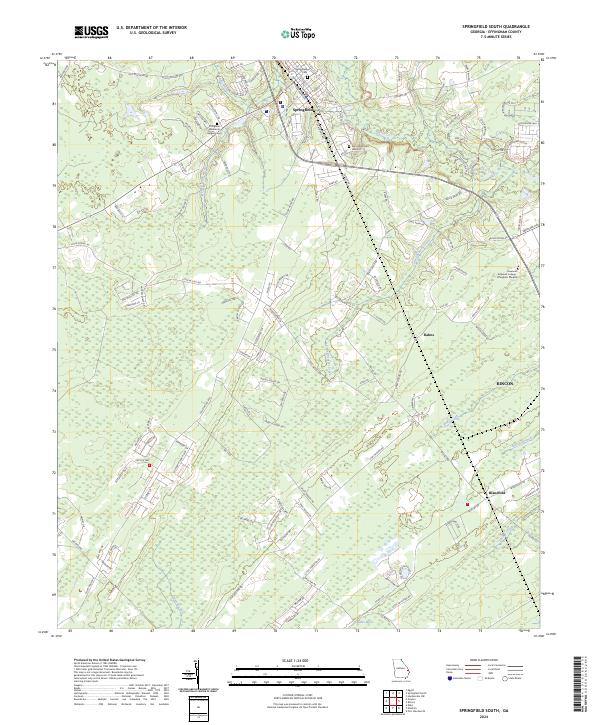 2024 Springfield South2024 Print · USGSEffingham County in the 2020s reflects a landscape where growing communities like Rincon and Rahns meet the bottomlands of the Ogeechee River. Researchers can trace local burial sites at Springfield Cem and the nearby Effingham Memorial Gardens Cem.
 - 2024 Map of Guyton, 2024 Print
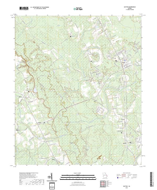 2024 Guyton2024 Print · USGSCoastal Georgia's riverine interior comes into focus in this contemporary survey of the Bulloch and Effingham county line. Genealogists can trace family burial sites across the landscape, from Old Providence Cem to Hubert Cem, while exploring the winding banks of the Ogeechee River.
End of results
Showing maps 1-21 of 21
Top cities near Guyton
- Savannah historical maps
- Pooler historical maps
- Garden City historical maps
- Port Wentworth historical maps
- Rincon historical maps
- Bloomingdale historical maps
See more
Frequently asked questions
- What are the different types of historical maps available for Guyton?
- What is the oldest map of Guyton?
- Where can I purchase historical maps of Guyton for my home or office?
- Where can I download high-res historical maps of Guyton?
- Are there historical topographic maps available for Guyton?
- Is there historical aerial imagery available for Guyton?
- Where are historical maps of Guyton sourced from?