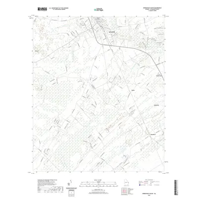
2020 Map of Springfield South
USGS Topo · Published 2020About this map
The Effingham County Courthouse serves as the focal point for this area of coastal Georgia, where the historic seat of Springfield meets a rapidly developing landscape. The map illustrates a transition from traditional agricultural and timber lands toward suburban expansion, particularly around Rincon and Blandford. The hydrography of the region is defined by the winding course of Ebenezer Creek and its various tributaries, including Little Ebenezer Cr and Jacks Br, which thread through the low-lying wetlands of Skinners Bay.
Find a feature on this map
125 named features on this map. Tap any name to fly to it.
Don’t see what you’re looking for? This feature index may not catch every label — zoom into the map to look around manually.
Map Details
Editions of this 2020 Springfield South Map
This is the sole edition of this map. No revisions or reprints were ever made.
Other maps of this area

1919 · Egypt
USGS Topo · 1:62,500

1920 · Hardeeville
USGS Topo · 1:62,500

1920 · Meldrim
USGS Topo · 1:62,500

1939 · Egypt
USGS Topo · 1:62,500

1942 · Meldrim
USGS Topo · 1:62,500

1942 · Savannah
USGS Topo · 1:62,500

1943 · Hardeeville
USGS Topo · 1:62,500

1943 · Egypt
USGS Topo · 1:62,500

1947 · Savannah
USGS Topo · 1:250,000

1948 · Savannah
USGS Topo · 1:250,000