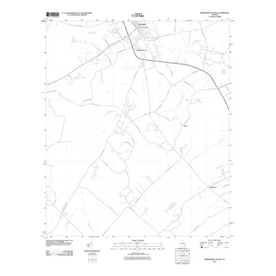
2011 Map of Springfield South
USGS Topo · Published 2011About this map
Springfield and its surrounding rural corridors anchor this Effingham County survey, which documents the transition between town life and the agricultural reaches to the south. The landscape is defined by the winding course of Ebenezer Creek and Little Ebenezer Creek, which carve through the terrain alongside smaller waterways like Jacks Branch and White Deer Branch. This early 21st-century record shows the persistent layout of local thoroughfares such as Courthouse Rd and Stillwell Rd, reflecting a transportation network tied to the county's historical development.
Find a feature on this map
48 named features on this map. Tap any name to fly to it.
Don’t see what you’re looking for? This feature index may not catch every label — zoom into the map to look around manually.
Map Details
Editions of this 2011 Springfield South Map
This is the sole edition of this map. No revisions or reprints were ever made.
Other maps of this area

1919 · Egypt
USGS Topo · 1:62,500

1920 · Hardeeville
USGS Topo · 1:62,500

1920 · Meldrim
USGS Topo · 1:62,500

1939 · Egypt
USGS Topo · 1:62,500

1942 · Meldrim
USGS Topo · 1:62,500

1942 · Savannah
USGS Topo · 1:62,500

1943 · Hardeeville
USGS Topo · 1:62,500

1943 · Egypt
USGS Topo · 1:62,500

1947 · Savannah
USGS Topo · 1:250,000

1948 · Savannah
USGS Topo · 1:250,000