Old Maps of Pine Mountain, Georgia for Metal Detecting
Plan your next treasure hunt with 17 historic maps of Pine Mountain. Find old homesites, ghost towns, trails, and gathering spots that may be lost to time — perfect for identifying promising metal detecting locations.
- Locate forgotten sites: Uncover places like long-lost settlements, abandoned rail lines, or gathering spots.
- Plan better hunts: Use map overlays combined with LiDAR or satellite views to narrow in on historically rich areas.
- Made for detectorists: Thousands of hobbyists use these maps to discover relics, coins, and hidden history.
Use these historic maps to boost your research and find new opportunities beneath the surface of Pine Mountain.
Pine Mountain, GA maps
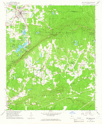
(17)- 1907 Map of Talbotton
 1907 Talbotton1907 Print · USGSWest-central Georgia at the turn of the century is a landscape of ridges and rail-lines, dominated by the thermal waters of Warm Springs. Local historians can trace the foundations of Talbotton and rural life at Turntime Crossroads, Cataula Camp Ground, and Greens Mill.3 unique versions available
 - 1955 Map of Phenix City, 1964 Print
 1955 Phenix City1964 Print · USGSPost-war Alabama and Georgia meet along the Chattahoochee River as industry and military installations expand. Trace the rail lines of the Central of Georgia through towns like Opelika, Tuskegee, and Alexander City.3 unique versions available
 - 1957 Map of Phenix City
 1957 Phenix City1957 Print · USGSThe Alabama-Georgia borderlands are captured here in the mid-fifties, centered on the bustling river crossing at Phenix City and Columbus. Researchers can trace the mid-century footprint of the Fort Benning Military Reservation or locate smaller textile and railroad towns like Langdale and Camp Hill.
 - 1958 Map of Phenix City
 1958 Phenix City1958 Print · USGSThe Alabama-Georgia borderlands thrive during the late fifties, anchored by the river-driven industry of Columbus and Phenix City. Researchers can trace the mid-century footprints of Fort Benning, Auburn, and the textile towns of Fairfax and Lanett.
 - 1964 Map of Pine Mountain, 1966 Print
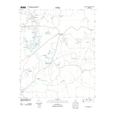
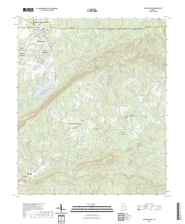
 1964 Pine Mountain1966 Print · USGSHarris County and the ridges of the Pine Mountain range were transitioning into a major recreational corridor in the mid-sixties. Genealogists and local historians can trace the foundations of Pine Mountain Valley, locate the Whitehead Cemetery, and explore the early layout of Callaway Gardens.
 - 1964 Map of Durand, 1966 Print
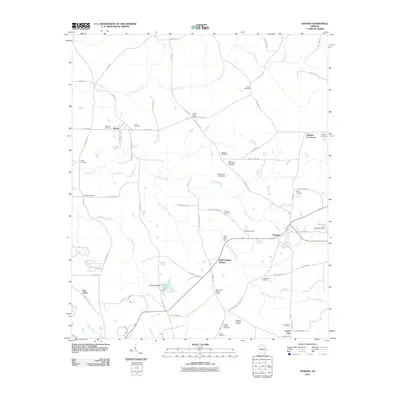
 1964 Durand1966 Print · USGSWestern Georgia at the start of the sixties reveals a transition from rail-dependent commerce to a rural landscape of family homesteads. Genealogists can locate family burial sites at Ogletree Cem and Hardy Cem or trace the Atlantic Coast Line through Durand.
 - 1981 Map of Thomaston, 1982 Print
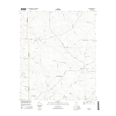
 1981 Thomaston1982 Print · USGSCentral Georgia’s ridgeline and river country comes into focus in this early 1980s survey of the Pine Mountain corridor. Researchers can trace historic church sites like Oak Grove Ch, the rail junctions at Manchester, and the expansive Franklin D Roosevelt State Park.
 - 2011 Map of Pine Mountain, 2011 Print
 2011 Pine Mountain2011 Print · USGSCovers Pine Mountain, including Hamilton, Pine Mountain Valley, and other nearby areas
 - 2011 Map of Durand, 2011 Print
 2011 Durand2011 Print · USGSCovers Pine Mountain, including Oak Grove, Durand, and other nearby areas
 - 2014 Map of Durand, 2014 Print
 2014 Durand2014 Print · USGSCovers Pine Mountain, including Oak Grove, Durand, and other nearby areas
 - 2014 Map of Pine Mountain, 2014 Print
 2014 Pine Mountain2014 Print · USGSCovers Pine Mountain, including Hamilton, Pine Mountain Valley, and other nearby areas
 - 2017 Map of Pine Mountain, 2017 Print
 2017 Pine Mountain2017 Print · USGSCovers Pine Mountain, including Hamilton, Pine Mountain Valley, and other nearby areas
 - 2017 Map of Durand, 2017 Print
 2017 Durand2017 Print · USGSCovers Pine Mountain, including Oak Grove, Durand, and other nearby areas
 - 2020 Map of Durand, 2020 Print
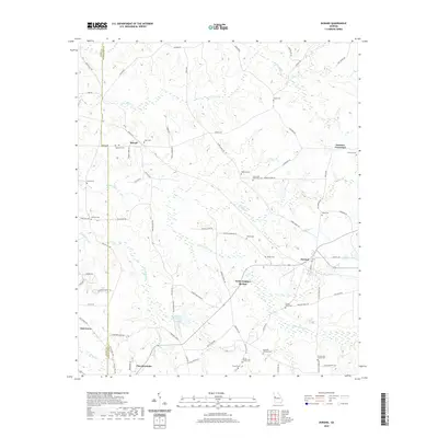 2020 Durand2020 Print · USGSCovers Pine Mountain, including Oak Grove, Durand, and other nearby areas
 - 2020 Map of Pine Mountain, 2020 Print
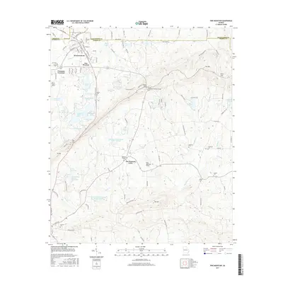
 2020 Pine Mountain2020 Print · USGSCovers Pine Mountain, including Hamilton, Pine Mountain Valley, and other nearby areas
 - 2024 Map of Durand, 2024 Print
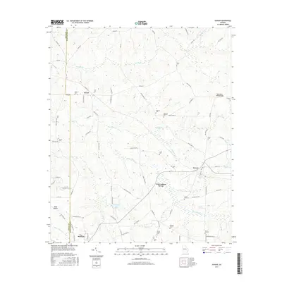
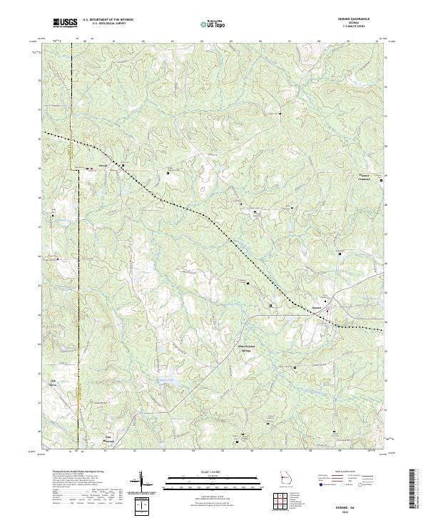 2024 Durand2024 Print · USGSThe Meriwether County countryside comes into focus in this contemporary survey, showing the rural landscapes between Stovall and the northern slopes of Pine Mountain. Genealogists can trace family heritage across more than a dozen local burial sites, including Trinity Church Cem, Greer and Robertson Cem, and Ogletree Cem.
 - 2024 Map of Pine Mountain, 2024 Print
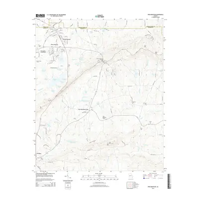
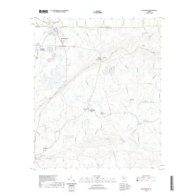
 2024 Pine Mountain2024 Print · USGSPine Mountain and the surrounding Georgia foothills appear in great detail, showing the unique planned layout of Pine Mountain Valley. Researchers can trace local lineage through numerous sites like Bethany Baptist Church Cem, Kings Gap, and Hamilton.
End of results
Showing maps 1-17 of 17
Top cities near Pine Mountain
- LaGrange historical maps
- Manchester historical maps
- Greenville historical maps
- Waverly Hall historical maps
- Hamilton historical maps
- Shiloh historical maps
See more
Top neighborhoods of Pine Mountain
Frequently asked questions
- What are the different types of historical maps available for Pine Mountain?
- What is the oldest map of Pine Mountain?
- Where can I purchase historical maps of Pine Mountain for my home or office?
- Where can I download high-res historical maps of Pine Mountain?
- Are there historical topographic maps available for Pine Mountain?
- Is there historical aerial imagery available for Pine Mountain?
- Where are historical maps of Pine Mountain sourced from?