2020s Maps of Irwin County, Georgia
Explore 32 historic maps of Irwin County from the 2020s. These maps offer a rare glimpse into what life looked like during the 2020s — showing old roads, neighborhoods, homes, and landmarks that have changed or disappeared over time.
Whether you're researching your family's past, planning a metal detecting trip, or studying how Irwin County's landscape evolved across the 2020s, these high-resolution maps are a powerful tool for exploring the history of this region.
- Focus on a specific era: All maps on this page are from the 2020s, giving you a focused view of this time period.
- See what’s changed: Compare century-old streets, trails, and buildings to today's modern landscape using overlays and satellite layers.
- Research with precision: Use these maps for genealogy, historical research, land use analysis, or educational projects.
- View, download, or print: Maps are fully viewable online in high resolution, and can be downloaded or printed for your own records.
Start exploring Irwin County's history through authentic maps from the 2020s. This is your window into the past.
Irwin County, GA maps
(32)- 2020 Map of Enigma, 2020 Print
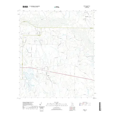 2020 Enigma2020 Print · USGSThe rural landscape of Berrien County and the community of Enigma are documented here in the early twenty-first century. Researchers can trace family sites and local landmarks across this water-rich terrain, from Enigma Cem and Paulk's Cem to the banks of the Alapaha River.
 - 2020 Map of Chula, 2020 Print
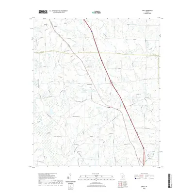 2020 Chula2020 Print · USGSThe rural landscape of South Georgia is captured here in the 2020s, centered on the communities of Chula and Sunsweet. Local researchers can trace family roots through sites like Hickory Springs Church, Inaha Cem, and Fletcher Cem.
 - 2020 Map of Ocilla West, 2020 Print
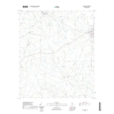 2020 Ocilla West2020 Print · USGSIrwin County's agricultural heartland is documented here in the early twenty-first century, showing the rural communities of Mystic and Pinetta. Genealogists and local historians can locate several historic burial grounds and congregations, including Evertt Cem, Piney Grove Cem, and Pinetta Baptist Church.
 - 2020 Map of Sibbie, 2020 Print
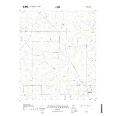 2020 Sibbie2020 Print · USGSCoastal Plain settlements like Sibbie and Abba are documented here alongside the intricate wetlands of South Georgia in the early twenty-first century. Genealogists and local historians can locate many rural burial sites, including Tomberlin Cem, Gibbs Cem, and Luke Cem.
 - 2020 Map of Rebecca, 2020 Print
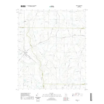 2020 Rebecca2020 Print · USGSNear the intersection of Turner, Wilcox, and Ben Hill counties, this recent survey shows the persistent agricultural and spiritual landscape of South Georgia. Researchers can trace numerous family burial sites and rural congregations, including Youngs Chapel Cem, Paulk Cem, and Salem Baptist Church Cem.
 - 2020 Map of Tifton East, 2020 Print
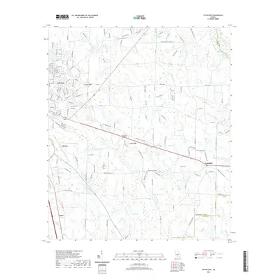 2020 Tifton East2020 Print · USGSCoastal plain agriculture and suburban growth meet in this modern survey of Tift County. Genealogists and local historians can trace family-named landmarks and rural settlements from Vanceville to Brookfield, alongside local features like Lawrence Cemetery and Ferry Lake.
 - 2020 Map of Irwinville, 2020 Print
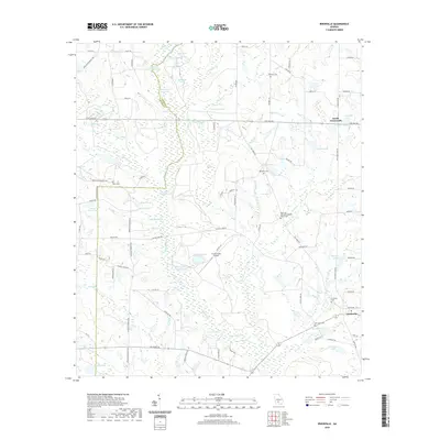 2020 Irwinville2020 Print · USGSIrwin County and the upper Alapaha River are shown here in recent years, revealing a landscape of wetlands and rural crossroads. Local researchers can locate family sites at Irwinville Cem, Lands Crossroads, and the Big Creek Missionary Baptist Church Cem.
 - 2020 Map of Broxton North, 2020 Print
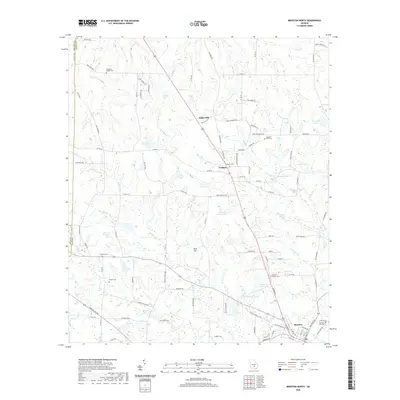 2020 Broxton North2020 Print · USGSNorth of Broxton in the 2020s, the rural Georgia landscape remains a patchwork of family-named lakes and historic cemeteries. Genealogists can trace family footprints at Benjamin Chapel Cem and Pridgen Cem or locate old settlements like Sapps Still.
 - 2020 Map of Fitzgerald West, 2020 Print
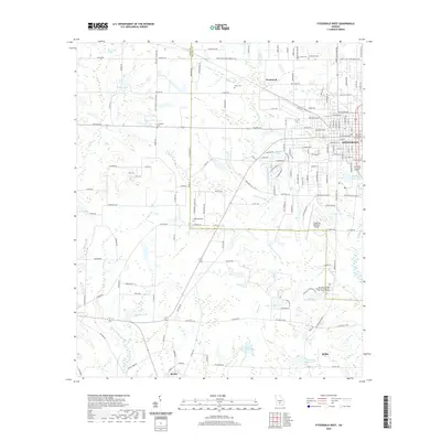 2020 Fitzgerald West2020 Print · USGSThe borderlands of Ben Hill and Irwin Counties come into focus in the early 2020s, centered on the urban core of Fitzgerald. Genealogists and historians can trace family roots through several local landmarks like Englewood Cem, Friendship Cem, and the quiet crossroads of Mystic.
 - 2020 Map of Fitzgerald East, 2020 Print
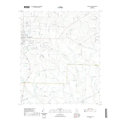 2020 Fitzgerald East2020 Print · USGSThe South Georgia wiregrass region comes into focus in this recent survey of the lands between Fitzgerald and Ocilla. Researchers can trace numerous local family landmarks and burial grounds, such as Troup Cem, Frank Cem, and the Eastside Church.
 - 2020 Map of Waterloo, 2020 Print
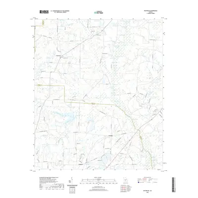 2020 Waterloo2020 Print · USGSThe rural crossing at Waterloo and the settlement of Brighton are documented here in the early twenty-first century. Genealogists and local historians can trace family locations through several burial grounds, including Eureka Cem and Macedonia Cem.
 - 2020 Map of Ocilla East, 2020 Print
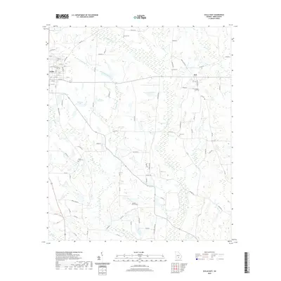 2020 Ocilla East2020 Print · USGSOcilla and the surrounding Irwin County countryside are captured here in the early twenty-first century as a landscape of river basins and family homesteads. Researchers can locate numerous burial sites like Henderson Chapel Cem and William F Paulk Cem or trace the winding course of the Willacoochee River.
 - 2020 Map of Lax, 2020 Print
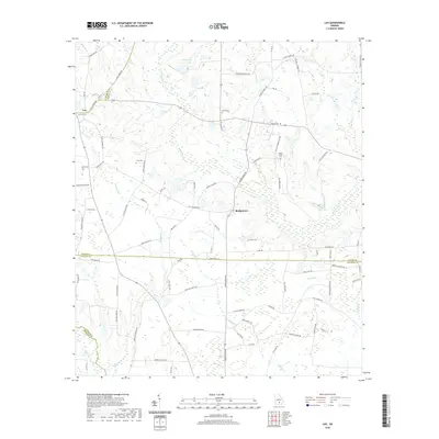 2020 Lax2020 Print · USGSCoastal plain agriculture and family-named landmarks define this south Georgia landscape where four counties meet. Genealogists can trace deep local roots at Lax Cem and Vickers Cem or follow the waters of the Satilla River through Bridgetown.
 - 2020 Map of Osierfield, 2020 Print
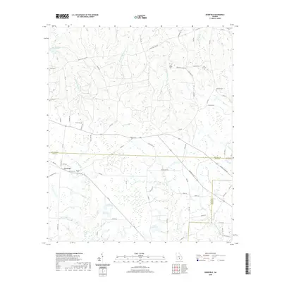 2020 Osierfield2020 Print · USGSOsierfield and the surrounding Georgia coastal plain are documented here at the start of the 2020s. Genealogists can locate several historic burial grounds including McMillan Cem and Saint Pauls Cem near the Seventeen Mile River.
 - 2020 Map of Alapaha, 2020 Print
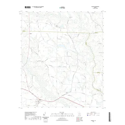 2020 Alapaha2020 Print · USGSBerrien County is captured in the recent decade, showing the agricultural landscape and rural communities surrounding Alapaha. Genealogists can locate family burial sites at Gopher Hill Cemetery and Luke Cemetery or trace landmarks along the Alapaha River.
 - 2020 Map of Ambrose, 2020 Print
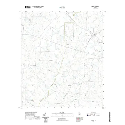 2020 Ambrose2020 Print · USGSCoastal Plain farmland in Coffee County comes into focus in this contemporary survey. Researchers can trace local lineage through numerous rural burial sites like Satilla Cem and Mount Union Cem or explore the wetlands around Bee Gum Branch.
 - 2024 Map of Osierfield, 2024 Print
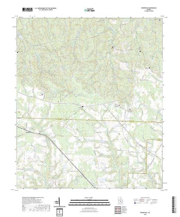 2024 Osierfield2024 Print · USGSSouth Georgia’s agricultural landscape and creek bottoms are documented here in recent years as the rural community remains centered around its parish churches. Genealogists can locate family landmarks like Tucker Cem, McMillan Cem, and the historic Osierfield Cem.
 - 2024 Map of Fitzgerald East, 2024 Print
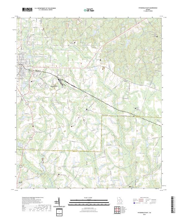 2024 Fitzgerald East2024 Print · USGSThe agricultural landscape of South Georgia comes into focus as it appears today, spanning the boundary between Ben Hill and Irwin counties. Genealogists can locate numerous rural burial sites and congregations like Kiokee Cem, McCook Cem, and Mount Olive Cem.
 - 2024 Map of Fitzgerald West, 2024 Print
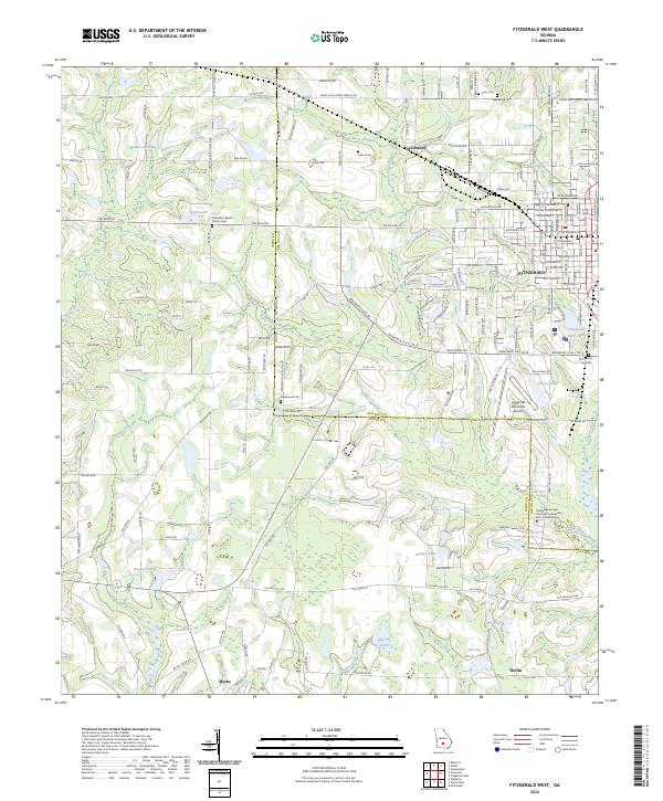 2024 Fitzgerald West2024 Print · USGSThe intersection of Ben Hill and Irwin Counties comes to life here, showing the western expansion of the regional hub of Fitzgerald. Researchers can trace family history through several burial sites like Englewood Cem and Arbor Cem, or locate landmarks like the Fitzgerald Municipal Airport.
 - 2024 Map of Irwinville, 2024 Print
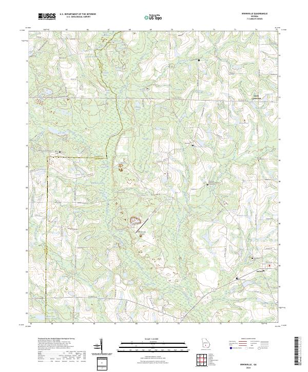 2024 Irwinville2024 Print · USGSIrwin County and Turner County are captured here in the early twenty-first century, centered on the historic Irwinville settlement. Genealogists and researchers can locate family sites at Oak Grove Cem, Avery Cem, or Lands Crossroads among the bends of the Alapaha River.
 - 2024 Map of Broxton North, 2024 Print
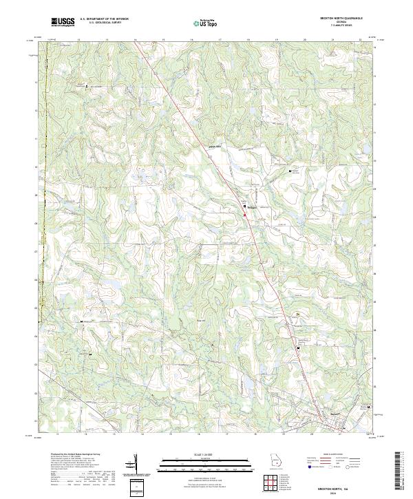 2024 Broxton North2024 Print · USGSCoastal Plain settlements and ancestral cemeteries characterize this portion of Coffee County during the early twenty-first century. Genealogists can locate family landmarks such as Benjamin Chapel Cem and Deberry Cem or trace the drainage of Seven Creek and Ninemile Creek.
 - 2024 Map of Ambrose, 2024 Print
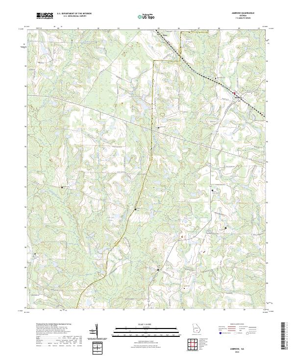 2024 Ambrose2024 Print · USGSCoastal Plain farmsteads and rural communities define this South Georgia landscape near the Irwin and Coffee county line. Genealogists can trace family landmarks and burial sites like Mount Union Cem, Lax Community Cem, and the settlement of Ambrose.
 - 2024 Map of Waterloo, 2024 Print
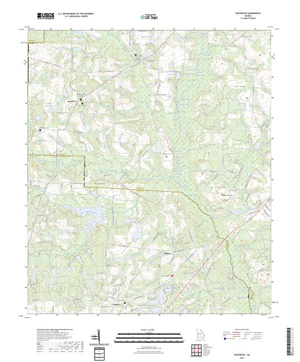 2024 Waterloo2024 Print · USGSIrwin and Tift counties appear here at the transition of the new millennium, showcasing a rural landscape tied to the Alapaha River. Researchers can trace local family history at Waterloo Baptist Church Cem and Harding Cem or locate the Tifton Fishing Club Lake.
 - 2024 Map of Ocilla West, 2024 Print
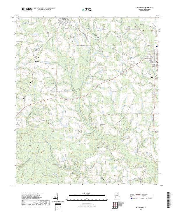 2024 Ocilla West2024 Print · USGSIrwin County, Georgia, remains a landscape of deep-rooted rural communities and slow-moving creeks in this recent survey. Genealogists can trace family landmarks like Old Valley Grove Cem, Pleasant Hill Cem, and the historic Irwin County Courthouse.
 - 2024 Map of Enigma, 2024 Print
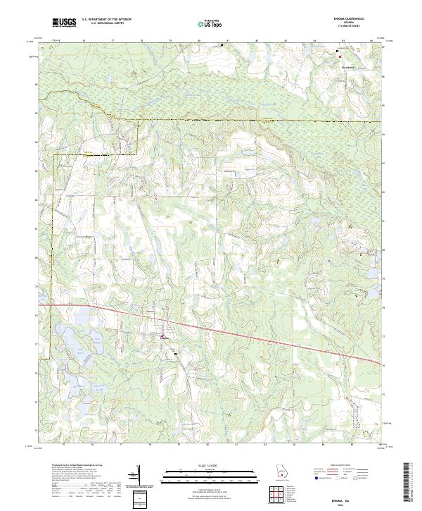 2024 Enigma2024 Print · USGSEnigma and the surrounding Berrien County farmlands are shown here in the 2020s, highlighting the intersection of rail, road, and river. Researchers can trace local lineage at Enigma Cem and Paulks Cem or locate old crossings along the Alapaha River.
Showing maps 1-25 of 32
Top cities of Irwin County
Frequently asked questions
- What are the different types of historical maps available for Irwin County?
- What is the oldest map of Irwin County?
- Where can I purchase historical maps of Irwin County for my home or office?
- Where can I download high-res historical maps of Irwin County?
- Are there historical topographic maps available for Irwin County?
- Is there historical aerial imagery available for Irwin County?
- Where are historical maps of Irwin County sourced from?