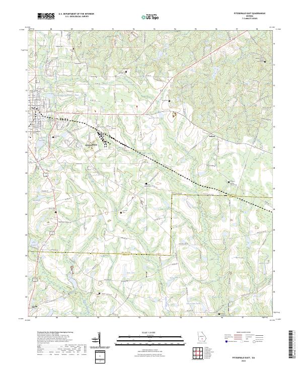
2024 Map of Fitzgerald East
USGS Topo · Published 2024About this map
Fitzgerald and the surrounding South Georgia farmland are characterized by a network of local roads and creek drainages at the border of Ben Hill and Irwin counties. The landscape is dotted with numerous small family and community burial grounds, including Kiokee Cem, McCook Cem, and Old Field Cem, reflecting a long-established rural settlement pattern. The city is bordered by several water bodies like the City of Fitzgerald Northeast Pond and Fitzgerald City Lake, while the eastern portion of the map is defined by the headwaters of Satilla Creek and Sturgeon Creek. Industry and transit are visible through the CSX Transportation rail line and agricultural landmarks such as Taylor Farm Rd and Wilcox Farms Rd. This survey also documents local spiritual centers such as Mount Calvary Baptist Church Cem and Prospect Baptist Church Cem.
Find a feature on this map
142 named features on this map. Tap any name to fly to it.
Don’t see what you’re looking for? This feature index may not catch every label — zoom into the map to look around manually.
Map Details
Editions of this 2024 Fitzgerald East Map
This is the sole edition of this map. No revisions or reprints were ever made.
Other maps of this area

1953 · Waycross
USGS Topo · 1:250,000

1958 · Waycross
USGS Topo · 1:250,000

1972 · Fitzgerald East
USGS Topo · 1:24,000

1972 · Ambrose
USGS Topo · 1:24,000

1972 · China Hill
USGS Topo · 1:24,000

1972 · Ocilla East
USGS Topo · 1:24,000

1972 · Queensland
USGS Topo · 1:24,000

1973 · Ocilla West
USGS Topo · 1:24,000

1973 · Fitzgerald West
USGS Topo · 1:24,000

1977 · Osierfield
USGS Topo · 1:24,000