Old Maps of Jefferson, Georgia for Academic Research
Study the evolution of Jefferson with 28 high-resolution historic maps. Whether you're teaching, researching, or modeling changes in land use, these maps provide essential visual documentation of urban, environmental, and geographic change.
- Analyze long-term change: Track patterns in development, transportation, and natural features.
- Ideal for environmental or urban studies: Support academic projects with primary historical map data.
- Use in the classroom or lab: Educators and researchers rely on these maps to bring historical context to life.
These maps are a powerful tool for teaching, research, and visualizing how Jefferson has changed over the decades.
Jefferson, GA maps
(28)- 1891 Map of Gainesville
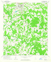
 1891 Gainesville1891 Print · USGSNorth Georgia in the early 1890s appears as a landscape of rail-junction towns and river-powered industry centered on Hall and Jackson Counties. Researchers can trace historic river crossings like Browns Bridge and Keiths Fy, or locate nineteenth-century landmarks such as Oconee Mills and Flowery Branch.5 unique versions available
 - 1954 Map of Greenville, 1965 Print
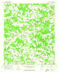
 1954 Greenville1965 Print · USGSThe Upstate and Northeast Georgia are captured here during a decade of massive transformation as new reservoirs reshaped the Piedmont. Genealogists and hikers can trace the Appalachian Trail over Brasstown Bald or locate old community centers like Demorest, Westminster, and Royston.3 unique versions available
 - 1958 Map of Greenville
 1958 Greenville1958 Print · USGSThe Piedmont and Blue Ridge foothills come alive in this mid-century survey of the Upstate and Northeast Georgia. Trace the regional rail-and-river economy through the Southern Railway corridors and early reservoir developments like Lake Sidney Lanier.
 - 1964 Map of Winder North, 1965 Print
 1964 Winder North1965 Print · USGSThe rural borderlands of Jackson and Barrow counties come into focus in the mid-sixties. Researchers can trace family sites like Rose Hill Cem, find the Holsenbeck Sch, and locate old landmarks like the Ebenezer Ch.4 unique versions available
 - 1964 Map of Pendergrass, 1965 Print
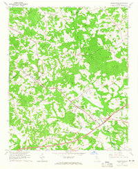 1964 Pendergrass1965 Print · USGSNortheast Georgia in the mid-1960s was a landscape of rail-linked towns and deep-rooted rural congregations. Genealogists and local historians can trace family locations through several landmark churches and cemeteries, including Harmony Hall Ch, Sugar Hill Ch, and Jarrett Cem.
 - 1964 Map of Jefferson, 1965 Print
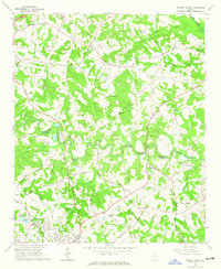
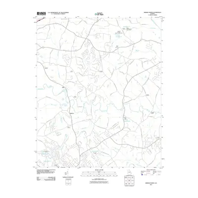
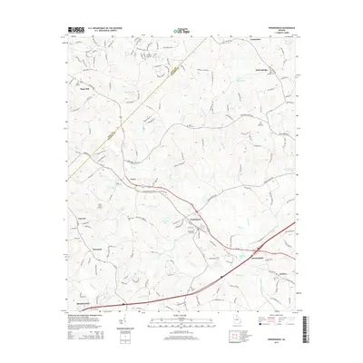
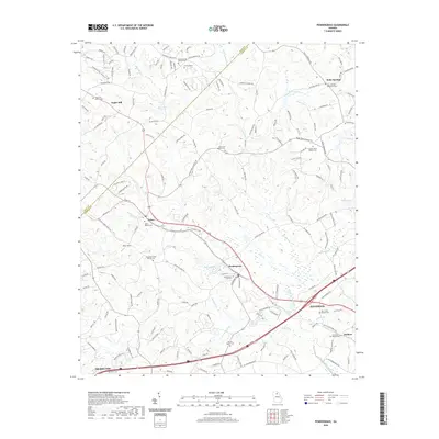
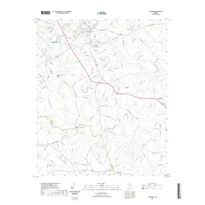
 1964 Jefferson1965 Print · USGSJackson County in the mid-1960s reveals a landscape of established small-town centers and quiet rural crossroads connected by the SEABOARD AIR LINE. Researchers can trace old family landmarks and community anchors like Redstone Ch, Holiday Cem, and the Bryan Sch.
 - 1964 Map of Apple Valley, 1965 Print
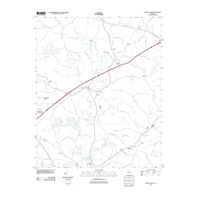
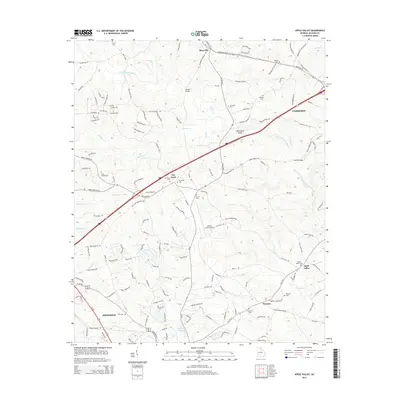
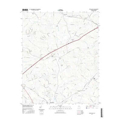
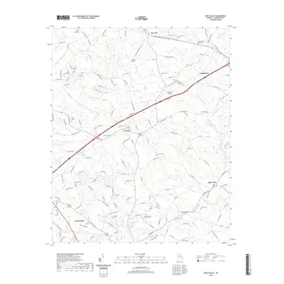
 1964 Apple Valley1965 Print · USGSJackson County is shown in the mid-1960s as a landscape of river valleys and small crossroads communities. Researchers can trace family roots at Wheeler Cem or locate old community centers like Dry Pond, Thyatira, and Blackstock.2 unique versions available
 - 1979 Map of Commerce, 1980 Print
 1979 Commerce1980 Print · USGSThe Georgia and South Carolina Piedmont reached a period of significant regional growth in the late seventies. Genealogists and historians can trace family roots through locations like Blackberry Church, Old Pioneer Cem, and the Gillsville Sch.2 unique versions available
 - 2011 Map of Pendergrass, 2011 Print
 2011 Pendergrass2011 Print · USGSCovers Jefferson, including Braselton, Pendergrass, and other nearby areas
 - 2011 Map of Apple Valley, 2011 Print
 2011 Apple Valley2011 Print · USGSCovers Jefferson, including Commerce, Maysville, and other nearby areas
 - 2011 Map of Winder North, 2011 Print
 2011 Winder North2011 Print · USGSCovers Jefferson, including Winder, Braselton, and other nearby areas
 - 2011 Map of Jefferson, 2011 Print
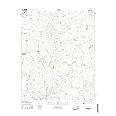
 2011 Jefferson2011 Print · USGSCovers Jefferson, including Arcade, Red Stone, and other nearby areas
 - 2014 Map of Apple Valley, 2014 Print
 2014 Apple Valley2014 Print · USGSCovers Jefferson, including Commerce, Maysville, and other nearby areas
 - 2014 Map of Winder North, 2014 Print
 2014 Winder North2014 Print · USGSCovers Jefferson, including Winder, Braselton, and other nearby areas
 - 2014 Map of Pendergrass, 2014 Print
 2014 Pendergrass2014 Print · USGSCovers Jefferson, including Braselton, Pendergrass, and other nearby areas
 - 2014 Map of Jefferson, 2014 Print
 2014 Jefferson2014 Print · USGSCovers Jefferson, including Arcade, Red Stone, and other nearby areas
 - 2017 Map of Winder North, 2017 Print
 2017 Winder North2017 Print · USGSCovers Jefferson, including Winder, Braselton, and other nearby areas
 - 2017 Map of Jefferson, 2017 Print
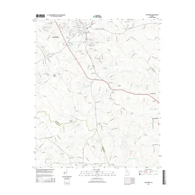
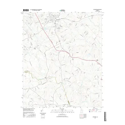 2017 Jefferson2017 Print · USGSCovers Jefferson, including Arcade, Red Stone, and other nearby areas
 - 2017 Map of Apple Valley, 2017 Print
 2017 Apple Valley2017 Print · USGSCovers Jefferson, including Commerce, Maysville, and other nearby areas
 - 2017 Map of Pendergrass, 2017 Print
 2017 Pendergrass2017 Print · USGSCovers Jefferson, including Braselton, Pendergrass, and other nearby areas
 - 2020 Map of Pendergrass, 2020 Print
 2020 Pendergrass2020 Print · USGSCovers Jefferson, including Braselton, Pendergrass, and other nearby areas
 - 2020 Map of Winder North, 2020 Print
 2020 Winder North2020 Print · USGSCovers Jefferson, including Winder, Braselton, and other nearby areas
 - 2020 Map of Jefferson, 2020 Print
 2020 Jefferson2020 Print · USGSCovers Jefferson, including Arcade, Red Stone, and other nearby areas
 - 2020 Map of Apple Valley, 2020 Print
 2020 Apple Valley2020 Print · USGSCovers Jefferson, including Commerce, Maysville, and other nearby areas
 - 2024 Map of Jefferson, 2024 Print
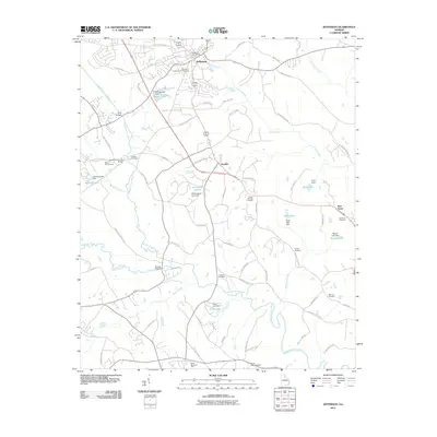
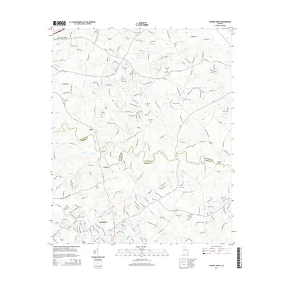
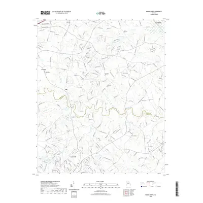
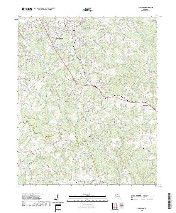 2024 Jefferson2024 Print · USGSJefferson and the surrounding Jackson County countryside are shown here at a time of continued rural development and riverfront stability. Genealogists can trace family heritage through numerous community burial sites like Poplar Springs Cem, Redstone Cem, and the Galilee Cem.
Showing maps 1-25 of 28
Top cities near Jefferson
- Athens historical maps
- Gainesville historical maps
- Winder historical maps
- Braselton historical maps
- Auburn historical maps
- Commerce historical maps
See more
Top neighborhoods of Jefferson
Frequently asked questions
- What are the different types of historical maps available for Jefferson?
- What is the oldest map of Jefferson?
- Where can I purchase historical maps of Jefferson for my home or office?
- Where can I download high-res historical maps of Jefferson?
- Are there historical topographic maps available for Jefferson?
- Is there historical aerial imagery available for Jefferson?
- Where are historical maps of Jefferson sourced from?